
Topographic Maps
What are topographic maps?. Maps are the best available tool to catalog and view the arrangement of things on the earth's surface.A topographic map is the projection of a landscape onto a piece of paper; showing detailed surface features of the earth such as elevation and slope.. What distinguished topographic maps from others?.

Topographic Maps
E N D
Presentation Transcript
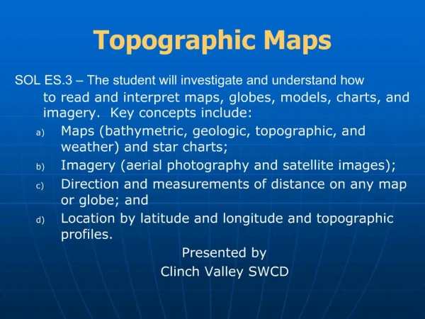
1. Topographic Maps SOL ES.3 � The student will investigate and understand how to read and interpret maps, globes, models, charts, and imagery. Key concepts include:
Maps (bathymetric, geologic, topographic, and weather) and star charts;
Imagery (aerial photography and satellite images);
Direction and measurements of distance on any map or globe; and
Location by latitude and longitude and topographic profiles.
Presented by
Clinch Valley SWCD
Map development, use, and analysis is an integral part of many private industries as well as government agencies. Through the ages we have come to rely on maps for several different uses and today we are going to talk about a particular type of map. We will go over the major components of a topographic map and what makes them different from other maps.Map development, use, and analysis is an integral part of many private industries as well as government agencies. Through the ages we have come to rely on maps for several different uses and today we are going to talk about a particular type of map. We will go over the major components of a topographic map and what makes them different from other maps.
2. What are topographic maps? Maps are the best available tool to catalog and view the arrangement of things on the earth�s surface.
A topographic map is the projection of a landscape onto a piece of paper; showing detailed surface features of the earth such as elevation and slope. Topographic maps are the best available tool to catalog and view the arrangement of things on the Earth�s surface.
A topographic map is the projection of a landscape onto a piece of paper; showing detailed surface features of the earth such as elevation and slope.Topographic maps are the best available tool to catalog and view the arrangement of things on the Earth�s surface.
A topographic map is the projection of a landscape onto a piece of paper; showing detailed surface features of the earth such as elevation and slope.
3. What distinguished topographic maps from others? The use of contour lines to portray the shape and elevation of the earth.
Contour lines join points of equal elevation.
Contour lines make is possible to measure the height of mountains, the depth of the ocean bottom, and the steepness of slopes. Contour lines are used to portray the shape and elevation of the earth.
They join points of equal elevation.
The closer together the contour lines appear on a topographic map, the steeper the slope (assuming constant contour intervals)Contour lines are used to portray the shape and elevation of the earth.
They join points of equal elevation.
The closer together the contour lines appear on a topographic map, the steeper the slope (assuming constant contour intervals)
4. Two Views of the Same Place These two photos illustrate two views of the same place. The bottom picture is a topographic map representation of the picture above it. These two photos illustrate two views of the same place. The bottom picture is a topographic map representation of the picture above it.
5. These two photos are different representations of contour lines. Note that the closer contour lines are together the steeper the slope.These two photos are different representations of contour lines. Note that the closer contour lines are together the steeper the slope.
6. What are topographic maps used for? Topographic maps are used for:
Engineering
Energy Exploration
Natural Resource Conservation
Environmental Management
Public Works Designs
Commercial & Residential Planning
Outdoor Activities
7. Where Do Topographic Maps Come From? The United States Geological Survey took over responsibility for mapping in the country in 1879 and has been the best known civilian mapping agency of the United States ever since.
The most commonly used USGS maps are the 1:24,000-scale topographic maps, also known as 7.5-minute quadrangles. They are called 7.5 minute quads because they encompass 7.5 minutes of latitude and 7.5 minutes on longitude. More than 55,000 7.5-minute maps were made to cover the 48 States.
The 7.5 minute map series was completed in 1992.
They are called 7.5 minute quads because they encompass 7.5 minutes of latitude and 7.5 minutes on longitude. More than 55,000 7.5-minute maps were made to cover the 48 States.
The 7.5 minute map series was completed in 1992.
8. Reading a Topographic Map Interpreting the colored lines, areas, and other symbols is the first step in using topographic maps.
Features are shown as points, lines, or areas, depending on their size and extent. For example, individual houses may be shown as small black squares.
For larger buildings, the actual shapes are mapped. In densely built-up areas, most individual buildings are omitted and an area tint is shown. On some maps, post offices, churches, city halls and other landmark buildings are shown within the tinted area. For larger buildings, the actual shapes are mapped. In densely built-up areas, most individual buildings are omitted and an area tint is shown. On some maps, post offices, churches, city halls and other landmark buildings are shown within the tinted area.
9. Topographic Map Symbols Both natural and man-made features are indicated by symbols. The shape, size, location, and color all have significance.
Water features � blue
Man-made structures � black
Wooded areas � green
Contour lines � brown
Open area - white
11. Title
All topographic maps, which are referred to as quadrangles, are named for a town or city which is located on the given map.
What is the name of this quadrangle?
Answer:
12. Quick Map Question As you look at the map, you will notice a large amount of writing in the margin at the bottom.
This is referred to as the ______ and it always provides lots of useful information that is applicable to the map you are using.
Answer: Legend
13. Scale In the center of the legend, just above three graphic scales, is the word SCALE followed by two numbers separated by a colon.
This is the representative fraction or RF scale and it tells you the relationship between map distance (first number) and land distance (second number).
What is the RF of this quadrangle?
Answer: 1:24,000
14. Scale Continued If you are using a 7.5 minute series map, the RF numbers should tell you that 1 map inch equals 24,000 land inches.
The RF is used to produce the graphic scales.
15. On This Quadrangle One mile = _______ inches.
Answer:
One kilometer = ______ inches.
Answer:
One thousand feet equals ______ inches.
Answer:
16. Latitude and Longitude Any location on Earth is described by two numbers--its latitude and longitude.
Latitude represents angular distance North or South of the equator.
Latitude represents angular distance East or West of the Prime Meridian.
Degrees of latitude and longitude can be further subdivided into minutes and then into seconds.
19. Relative vs. Absolute Relative location is used to describe the relationship of one place to another. One place is north, south, east, or west of another.
Using latitude and longitude we can specifically determine a place�s absolute location.
20. Depending on the time allotted for the presentation, this activity may be too lengthy. If necessary, leave copies of the activity and the answer key with the teacher.Depending on the time allotted for the presentation, this activity may be too lengthy. If necessary, leave copies of the activity and the answer key with the teacher.
21. QUESTIONS?


