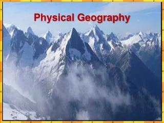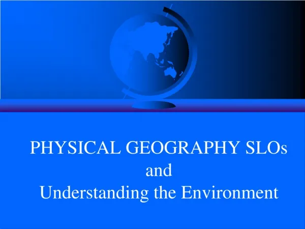
PHYSICAL GEOGRAPHY SLOs and Understanding the Environment
60 likes | 456 Views
PHYSICAL GEOGRAPHY SLOs and Understanding the Environment. The Little Blue Planet. GEOG 001: Physical Geography Expected Student Learning Outcomes (SLOs)

PHYSICAL GEOGRAPHY SLOs and Understanding the Environment
E N D
Presentation Transcript
The Little Blue Planet
GEOG 001: Physical Geography • Expected Student Learning Outcomes (SLOs) • Gain an understanding of physical geography as a systematic science, and an integrative, applied discipline that emphasizes location, distance, direction and spatial relationships in explaining the physical world around us. • Descriptive to Analytic, to Applied Geography • – What, Where, Why, How, and What If of things • Geography’s Three Perspectives – Spatial, Systems (Environmental), Scientific (Scientific Method), both Physical and Social Science • Spatial Concepts – location, place, region, mobility, human- environment interactions (5 spatial themes) + distributions, patterns • Geographic Tools and Techniques – Maps, GPS, • Remote Sensing, and GIS
Learn about the intricate processes that shape the varied patterns of landform, weather, climate, soil and natural vegetation, and how they impact on human activity. • Earth’s Cosmic Connections • – the rotating and orbiting little blue planet • Earth-Sun Relationships and Insolation • Earth’s Atmosphere and Heat Energy Budget • The Greenhouse Effect • The Ozone Hole • Day-Night, Seasons • Atmospheric and Oceanic Circulation • Weather and Climate • Weather Systems and Atmospheric Disturbances • The Hydrologic Cycle • Climate Classification and Climatic Regions • Global Warming and Climate Change
Earth’s Internal Structure – Core, Mantle, Crust • Rocks, Minerals and the Rock Cycle • Continental Drift and Plate Tectonics • Endogenic Processes – Volcanic, Plutonic and Tectonic • Exogenic Processes – Gradational Processes – Weathering, Mass Wasting, Erosion, Transportation and Deposition • Geomorphic Agents and Landform Regions • Appreciate the delicate human-nature interaction that result in numerous environmental hazards and challenges, from earthquakes and wildfires to global warming and climate change, and how the insights thus gained may help us deal with theses problems. • Environment as Opportunity • Environment as Hazard • Environmental Degradation • Environmental Management
Recognize maps, satellite imagery, GPS technology, GIS methodology as essential tools of geographic/spatial analysis, and how the related skills have proven invaluable in environmental planning and management efforts. • Cartography – the art and science of mapmaking • Map Projections and Map Basics • Maps – General Purpose, Topographic, Thematic • Surveying, GPS and Remote Sensing • Digital Mapping and Geographic Information Systems (GIS) • Web GIS and Google Earth • Map reading and Map Interpretation • Role of Geography and GIS in Environmental • and Management