Download
1 / 19
190 likes | 286 Views
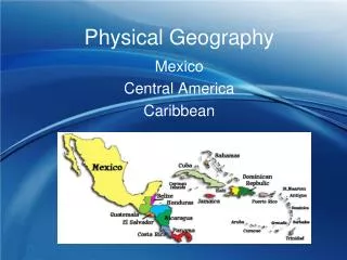
Discover China's highest mountains in the west, the majestic Plateau of Tibet, the powerful rivers like Huang He and Chang Jiang, and vast deserts such as the Gobi. Explore Japan's mountains, volcanoes, and earthquake-prone regions. Learn about the unique climates and geology of countries like Japan and Korea.

E N D
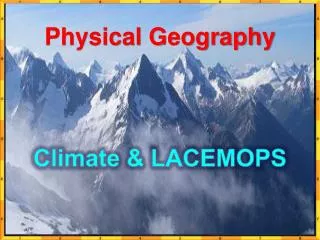
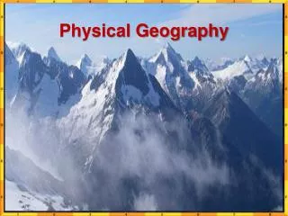
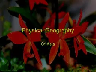
Physical Geography Of Asia
China • China’s highest mountains are in the west. • The Himalayas divide China from Nepal. • The Plateau of Tibet spreads across ¼ of China’s land and it is the highest plateau on earth has the nickname “roof of the world”.
Rivers of China • 3 Great Rivers • Huang He “Yellow River” • Chang jiang • Xi Jiang • They all start in the highlands and flow east. . • The Chang Jiang is China’s longest river at 3,400 miles. • The Huang He often floods and people die it is often called the River of Sorrows.
Deserts • The Takilimakan desert covers Northwest China. • In central northern china lies the Gobi desert. • In mongolian Gobi means “waterless place”. • In the summer the temps can reach 113 and in the winter it can get to -40.
Japan • Japan is an archipelago that stretches 1,500 miles • 4 Main islands • Hokkaido • Honshu- Largest and home to Tokyo • Shikoku • Kyushu
Mountains and Volcanoes • Mountains cover 80% of Japan. • They are blocks separated by lowlands. • The largest area of lowlands is the Kanto plain, where Tokyo lies. • Tallest mountain in Japan is Mount Fuji • Active volcano
Japan is part of the ring of fire (an area of volcanic activity along the Pacific ocean. • Japan has 1,500 minor earthquakes each year. • 1923 a major earthquake hit.
Climate • Climate is influenced by monsoons. • During the summer and early fall typhoons often occur. • A typhoon is a hurricane that occurs in the Pacific.
Korea • North and South Korea lie on the Korean Peninsula. • North Korea is mountainous and has valleys. • It’s major rivers border China (Yalu and Tumen) • South Korea contains mountains, plains, and valleys. • Main rivers- Han, Kum, and Naktong