Download
1 / 35
350 likes | 366 Views
Explore the weather phenomena associated with high and low pressure systems, learn about anticyclones and cyclones, and their impacts on communities. Dive into the global circulation patterns driving extreme weather events like heat waves and cold fronts.

E N D
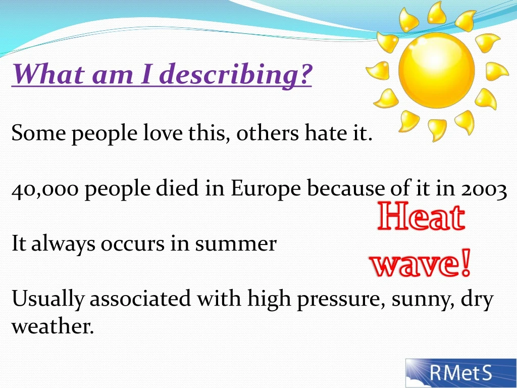
What am I describing? Some people love this, others hate it. 40,000 people died in Europe because of it in 2003 It always occurs in summer Usually associated with high pressure, sunny, dry weather. Heat wave!
Anticyclones, depressions, hot & drought, cold & snow • Learning Objectives: • To describe and explain the weather associated with high and low pressure systems • Link them to extreme weather, list the hazards associated with this extreme weather and assess their impacts on various sectors of the community.
The Global Circulation: • Weather is driven by the unequal heating of the Earth’s surface. • Air heated strongly at the equator becomes less dense and rises, reaching the top of the troposphere (10-15km) and then it spreads outwards to both poles. • When it reaches the Polar Regions, it sinks and through continuity flows back to the equator. • This closed cell of circulation creates a low pressure at the surface where air is rising (i.e. at the equator) and a high pressure where air is sinking (Polar Regions).
The Global Circulation Continued: However, due to the Earth’s rotation, the circulation is more complex and actually results in three separate circulations . Adding further to the complexity is the non-uniform nature of the Earth’s surface (sea, land, mountains, ice etc). NASA - 1 Animation Video explanation
Anticyclones A large area of high atmospheric pressure, characterised by outward-spiralling winds - a "high". Winds are clockwise in the Northern Hemisphere and anticlockwise in the Southern (Source: BBC). Isobars – Lines of equal pressure H 1034 Direction of surface winds High pressure with pressure in millibars
This animation shows the affect of the Coriolis force. Although the air moves from high to low pressure, the rotation of the Earth makes it appear deflect to the right from the point of view of an observer on the Earth. Coriolis Effect Animation H
Anticyclones continued • Anticyclones are masses of sinking air creating a high pressure (>1013mbars) at the surface. • Horizontal pressure gradients (how much pressure changes with distance) are often small and so the surface wind speed is usually low. • The sinking air inhibits convection and therefore cloud formation, so hot, dry days usually accompany high pressure systems in summer and cold, dry days in winter.
Cyclones • A large area of low atmospheric pressure, characterised by inward-spiralling winds - a "low" - also called a "depression". • Winds are anticlockwise in the Northern Hemisphere and clockwise in the Southern (Source: BBC). • Cyclones consist of rising air, creating the low pressure (<1013mbars) at the surface. Formation of a cyclone Direction of surface winds L 984 Low pressure centre with pressure in millibars
Cyclones continued • Horizontal pressure gradients can be very steep and so the surface wind speeds are often high and sometimes extreme. • The rising air promotes convection and cloud formation and therefore precipitation (rain, snow, hail etc). • Weather fronts (the boundary between different air masses) are formed with cyclones. A weather map showing a complex situation of high and low pressure weather systems across the US. Source NOAA - 2
Weather symbol for a cold front Cold Front – The boundary between cold and warm air, where cold air is undercutting the warm air (because it is denser). This lifts the warm air, possibly to a level where it can rise by itself (convection) due to instability in the atmosphere, resulting in clouds and rainfall. Cold fronts often bring heavy rain, cooler air, and a clockwise shift in wind direction (veering wind). NASA -3 Animation of a cold front
Weather symbol for a warm front Warm Front – The boundary between cold and warm air, where warm air is overriding the cold air (because it is less dense). This air rises steadily, but again may result in convection occurring. As warm fronts pass through a location they bring warmer air, cloud, rain and a veering of the wind. NASA -4 Animation of a warm front
Weather symbol for a warm front Occluded Front – These occur when a cold front catches up a warm front and undercuts it. Various types of weather can be associated with an occluded front including thunderstorms, rain, cloud or very little apparent change. Normally the air at the surface becomes drier. A cyclone showing the position of each of the fronts Animation of an occluded front NWS -5 Triple Point
Heat waves On your map of Europe, draw in pencil the position of an anticyclone which could lead to hot weather in the UK. Hint: Think of the direction the air coming into the UK should be from. Answer – Anticyclone over the North Sea area and extending across the UK. This gives Southerly or South-Easterly winds bringing hot, continental air into the UK. A cyclone to the South West of the UK would also be likely to occur, further enhancing the Southerly wind.
What social, economic and environmental issues are associated with heat waves?
Social: • Death • Hyperthermia (heat stroke) • Heat rash • Heat cramps • Heat exhaustion • Pressure on NHS and other health services • Cancellation of outdoor activities • Difficulty sleeping • Power cuts due to excess air conditioning use. • Water shortages/hose pipe bans
Economic: • + Shops sell extra ice-cream, bbq, salads, drinks • +Electricity companies boost sales due to air conditioning, fans etc • +Seaside resorts see increase in sales/demand. • -Cinema’s and other indoor activities lose out • -More ‘sick’ days taken during hot weather • -Damage to transport network e.g. Train lines bending in the heat • -Crops damaged or destroyed by heat/drought • The overall effect on economy is uncertain Video
Environmental: • Stress or death to wild and farmed animals. • Crops and trees damaged or killed by heat and drought • Rivers run low or dry, leading to loss of species • Extra irrigation of land could lead to increased soil salinity. • People making extra journeys to the beach etc and using air conditioning leads to increase in greenhouse gas emissions.
Europe 2003 Heat wave • >40,000 people dead across Europe due to the heat wave • 38.5oC (101.3oF) recorded in Brogdale in Kent, UK • 48oC (118.4oF) recorded in Amareleja, Portugal • France lost 20% of its wheat crops due to drought • UK rail transport severely disrupted by speed limits imposed on railways as the heat caused some rails to buckle. • 215,000 hectares of forest destroyed in Portuguese fires – an area the size of Luxembourg!
Europe 2003 Heat wave • The river Danube in Serbia fell to its lowest level in 100 years exposing world war two relics. • Two nuclear power stations were forces to close due to cooling issues. • Cost to European farming estimated at 13.1billion Euros. • The London Eye closed for a day after cabin temperatures became unbearable. UNEP – United Nation Environment Programme – European heat wave review
% of expected rainfall totals in the UK for Feb – Oct 2003. Orange areas – Substantially below average Red areas – exceptionally low rainfall Source: UK Met Office - 6
Satellite image of forest fires in Portugal – Source: UK Met Office 7 Following this heat wave, the Met Office set up a warning system to prepare the public and health service etc in advance of an imminent heat wave. Met Office Heat-Health Watch (only available 1st June to 15th September)
Cold Spells (Cold waves) On your map of Europe, draw in pencil the position of an anticyclone which could lead to cold weather in the UK. Hint: Think of the direction the air coming into the UK should be from. Answer – Anticyclone to the west of the UK. This gives Northerly winds bringing cold, Arctic air into the UK. A cyclone in the North Sea would also likely occur (called a Polar Low), causing weather fronts bringing snow and high winds. OR High to NE of UK and low to S bringing in strong, cold Easterly winds from the continent.
Frost on a windscreen - 8 Frost During anticyclonic weather in winter, skies are often clear at night. The ground then radiates heat straight out to space. The ground therefore cools rapidly and causes the air around it to also cool. The air may reach temperatures below 0oC and below its dew point. This means ice will form onto surfaces (such as grass) – i.e. frost.
NASA - 9 South Dakota Blizzard 2008 A satellite image showing the UK almost entirely covered in snow 07-01-10 • Blizzard • Definition (Met Office): • 30mph winds • Moderate or heavy snow • Visibility below 200m A cyclone brings weather fronts with moist air, precipitation and strong winds. If these move into cold air or the cyclone comes from a cold region then snow will fall. Often the criteria above are reached and a blizzard therefore formed.
What social, economic and environmental issues are associated with cold spells?
Social: • Death • Hypothermia • Travelling difficult for elderly and disabled • Outdoor activities cancelled or postponed • Increase in admittance to A&E • +Parents may spend more time with their children if schools are closed
Economic: • Workers stuck at home • Childcare costs when schools are closed • Damage to infrastructure e.g. Road surfaces, downed power lines. Airports, railways & roads closed. • Extra winter fuel payments to elderly costs the government. • Cost of road gritting/salting • Pipes freeze and crack • Damage or death to less cold-tolerant crops such as citrus fruits • Increase in warm weather clothes sales • Gas and electricity companies increases profits as demand increases
Environmental: • Increased road gritting/salting pollutes the environment • Widespread death of animals due to lack of food. • Extra greenhouse gases emitted as people try to stay warm by burning fossil fuels.
ITN News Report UK Cold Spell 2010 • The coldest winter for England and Wales since 1978-1979 • Mean winter temperature was 1.6oC (2.1oC) below the 1971-2000 average. • Grit supplies ran out in some council areas. 60,000 tonnes of salt were being used per day. • A gas supply alert was made to ensure supplies in the UK were maintained. This meant turning the supply off to major industrial users who had signed up to interruptible contracts.
UK Cold Spell 2010 • The temperature fell to -22.3oC at Altnaharra, Highland. • 1000 vehicles were stuck on the A3(M) as over 12inches of snow fell on 6th January. • Over 8000 schools were closed on the same day and 5000 homes in Sussex were left without electricity. • Hampshire council called on 120 farmers to help clear roads • All outpatient appointments and non-urgent operations at hospitals covered by the Oxford Radcliffe Hospitals Trust were postponed.
UK Cold Spell 2010 • The Royal Berkshire Hospital in Reading sent midwives out in 4x4’s to help women in labour. • Football, horseracing and many other sporting fixtures were postponed. • 100’s of flights were cancelled to and from UK airports including Heathrow and Gatwick. Met Office chart showing all of the UK with negative temperature anomalies for the 2009-2010 winter compared to the 1971-2000 average. 10
Fill in the table describing the impacts of the weather we have discussed.
BINGO! Anticyclone Cyclone Coriolis Cold front Warm front Occluded front Hyperthermia Hypothermia Frost Blizzard Clockwise Anticlockwise
Sources: • NASA - http://sealevel.jpl.nasa.gov/overview/images/6-cell-model.jpg • NOAA - http://aviationweather.gov/adds/progs/ • NASA - http://rst.gsfc.nasa.gov/Sect14/Sect14_1c.html • NASA - http://rst.gsfc.nasa.gov/Sect14/Sect14_1c.html • NWS - http://www.srh.weather.gov/srh/jetstream/synoptic/cyclone.htm • UK Met Office - http://www.nerc-wallingford.ac.uk/ih/nrfa/yb/yb2003/drought2003/fig4.html • UK Met Office - http://www.metoffice.gov.uk/education/teens/casestudy_heatwave.html
Sources: Authors own photo NASA - http://rapidfire.sci.gsfc.nasa.gov/gallery/?2010007-0107/GreatBritain.A2010007.1150.1km.jpg UK Met Office - http://www.metoffice.gov.uk/climate/uk/2010/winter.html


