Download

1 / 28
280 likes | 305 Views
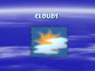
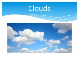
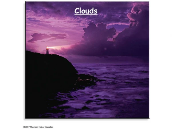
Learn about different cloud types like Altocumulus, Cirrostratus, and Cumulonimbus, their height, appearance, and associated weather phenomena. Discover how to identify them in the sky!

E N D
Altocumulus clouds are mid-level, grayish-white with one part darker than the other. Altocumulus clouds usually form in groups and are about one kilometer thick.
Altostratus clouds are mid-level, gray or blue-gray clouds that usually covers the whole sky. The Sun or moon may shine through an altostratus cloud, but will appear watery or fuzzy.
Cirrocumulus clouds are small rounded puffs that usually appear in long rows high in the sky. Cirrocumulus are usually white, but sometimes appear gray.
Cirrostratus clouds are high, thin sheet-like thin clouds that usually cover the entire sky. The clouds are so thin that the Sun or moon can sometimes shine through and appear to have a halo as light hits the ice crystals and bends.
Cirrus clouds are made of ice crystals and look like long, thin, wispy white streamers high in the sky. They are commonly known as "mare's tails" because they are shaped like the tail of a horse. Cirrus clouds are often seen during fair weather.
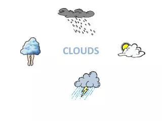
Cumulonimbus clouds also have vertical growth and can grow up to 10 km high. At this height, high winds will flatten the top of the cloud out into an anvil-like shape. Cumulonimbus clouds are thunderstorm clouds and are associated with heavy rain, snow, hail, lightning, and sometimes tornadoes.
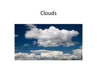
Cumulus clouds have vertical growth. They are puffy white or light gray clouds that look like floating cotton balls. Cumulus clouds have sharp outlines and a flat base at a height of 1000m. They are generally about one kilometer wide
Nimbostratus clouds are dark gray, have ragged bases and sit low in the sky. Nimbostratus clouds are associated with continuous rain or snow. Sometimes they cover the whole sky and you can't see the edges of the cloud.
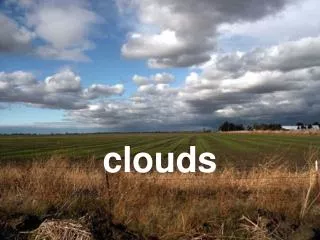
Stratocumulus clouds are low, lumpy, and gray. Sometimes they line up in rows and other times they spread out. Only light rain (usually drizzle) falls from stratocumulus clouds.
Stratus clouds are low and have a uniform gray in color and can cover most or all of the sky. Stratus clouds can look like a fog that doesn't reach the ground. Light mist or drizzle is sometimes falling when stratus clouds are in the sky.