Download
1 / 19
210 likes | 244 Views
Learn how to enhance topographic databases by integrating airborne laser scanner data, with detailed process insights and results.

E N D
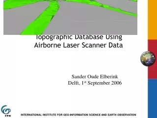
Adding the Third Dimension to a Topographic Database Using Airborne Laser Scanner Data Sander Oude Elberink Delft, 1st September 2006
Contents • Introduction • Data properties • Laser data • Map data • Approach • Densifying 2d map • Segmentation • 3D reconstruction process (incl. processing rules) • Surface modelling • Results • Conclusions & future work
Introduction • Growing demand • 3D data • Automated acquisition • Data fusion: laser data + 2d map • Now: focus on infrastructure TU Delft: Oosterom, Verbree, Penninga Research project 3D Modelling 3D Acquisition ITC Enschede: Vosselman, Oude Elberink
Data properties Topographic database “TOP10NL” Object based 1:10.000 Roads, buildings, land use,… Laser scanner data “AHN” Point cloud 1 point / 9 m^2 Outlines Classification Semantics
Approach - overview Segment laser data • Preprocessing data • Adding height to map points • Reconstruct new 3D polygons • Adding heights to surfaces Densify map data Interpolate laser data Detect multiple heights Add semantics Multiple levels Add laser data or knowledge
Preprocessing • Laserdata • Surface growing • Seed surface detection by 3D Hough • Smooth surfaces allowed • Small segments removed • Topographic map • More map points needed in 3D
Interchange in 3D Interchange in 2D Preprocessing • Laserdata • Surface growing • Seed surface detection by 3D Hough • Smooth surfaces allowed • Small segments removed • Topographic map • More map points needed in 3D
Adding height to map points • Interpolation • Use laser points in nearest dominant segment • For every neighbouring object • Detect multiple heights • Add semantics • Water = horizontal • Average if close • Road = smooth
Adding height to map points • Interpolation • Use laser points in nearest dominant segment • For every neighbouring object • Detect multiple heights • Add semantics • Water = horizontal • Average if close • Road = smooth
Interchange in 3D Reconstruct new polygons • Multiple levels Hidden polygons New polygons
Adding height to surfaces • Laser data • Add to meadow etc. • Perform morphological filtering near edges • Modelling • Roads, buildings, water
At the moment… • Adding knowledge to program: • Merging road segments correctly • Detect & correct fusion errors automatically • Preparing 4 presentations (feedback) And the next moment… • Building reconstruction • Quality measures for 3D map
Conclusions • Complex infrastructural objects can be reconstructed in 3D • New polygons are created where needed • Not yet correctly, or not yet automatically
Thank you for your attention. Questions?