Geography Skills Handbook
380 likes | 1.91k Views
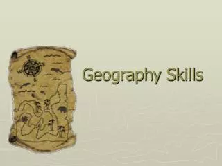
Geography Skills Handbook. Introduces you to the basic geographic tools Globes Maps Graphs Explains how to use them. Skills Handbook. Latitude: Also called parallels Circle earth parallel to equator Measure distance North or South of equator Go from 0 to 90 degrees North and South.

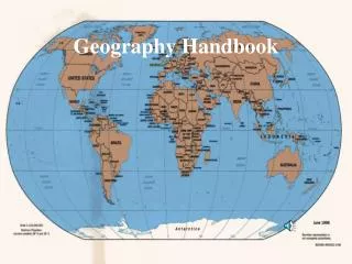
Geography Skills Handbook
E N D
Presentation Transcript
Introduces you to the basic geographic tools Globes Maps Graphs Explains how to use them Skills Handbook
Latitude: Also called parallels Circle earth parallel to equator Measure distance North or South of equator Go from 0 to 90 degrees North and South Latitude, Longitude, Location
Longitude: Also called meridians Circle earth from pole to pole Measure distances east or west of starting line, which lies at 0 degrees and is called Prime Meridian Line of longitude that runs through Greenwich, England Latitude, Longitude, Location
The Global Grid: Every place has a global address, called it’s absolute location Name this by identifying where lines of latitude intersect lines of longitude Latitude, Longitude, Location
Globe: Scale model of the earth Map: Symbolic representation of all or part of the planet on a flat piece of paper Which is more accurate? From Globes to Maps…
From 3-D to 2-D: What happens when you cut open and orange and try to lay it flat? Same principle applies to the earth… To create uninterrupted maps, mapmakers (or cartographers), use math formulas to transfer info from 3-D to 2-D Distortions do occur, though From Globes to Maps…
How Map Projections Work Project round earth onto flat surface Makes a map projection More than 100 types From Globes to Maps…
Planar Projection Shows the earth centered in such a way that a straight line coming from the center to any other point represents the shortest distance Most accurate at its center Mostly used for maps of the poles From Globes to Maps…
Cylindrical Projection Based on the projection of the globe onto a cylinder Most accurate near the equator Shapes and distances are distorted near the Poles From Globes to Maps…
Conic Projection Comes from placing a cone over part of a globe Best suited for showing limited east/west areas that are not too far from the Equator Can indicate distances and directions fairly accurately From Globes to Maps…
Great Circle Routes A straight line is not always the shortest distance between two points WHY? To find shortest distance, stretch a piece of string around the globe Traveling along this line is called the great circle route Flat maps don’t show this From Globes to Maps…
Curved surface of earth CANNOT be shown accurately on a flat map Cartographers create map projections 4 main ones…. Common Map Projections
Robinson Projection Has minor distortions Sizes/shapes near east & west edges are accurate Continent outlines appear as they do on globe Polar areas are somewhat distorted Common Map Projections
Winkel Tripel Projection Used by most general reference maps Adopted by Nat. Geo. Society Provides good balance b/t size and shape of land areas as they are shown on the map Polar areas are not that distorted Common Map Projections
Goode’s Interrupted Equal-Area Projection Looks something like a globe that has been cut apart and laid flat Shows true size and shape of landmasses, but distances are distorted Common Map Projections
Mercator Projection Was ONCE the most commonly used Increasingly distorts size and distance as it moves away from the equator Accurately show true directions and shapes of landmasses Distort Greenland and Antarctica Useful for sea travel Common Map Projections
Robinson Mercator Goode’s Interrupted Winkel Tripel
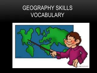
You need to be able to understand a map and it’s data HOW? By using the following: Key: a list that explains what symbols stand for Compass Rose: indicates direction (cardinal and intermediate) May only point in one direction – WHY? Cities: shown by a dot (bigger cities can be bigger dots) Scale Bar: shows relationship between map measurements and actual distances Capitals: star within a circle (most times) Reading a Map
Using Scale: Scale: a consistent, proportional relationship between the measurement shown on the map and the measurement of the earth’s surface Scale Bar: gives relationship between map measurements and actual distances Small and Large Scale Maps Reading a Map Small Scale Large Scale
Absolute Location Precise point where one line of latitude crosses a line of longitude Relative Location Location of one place in relation to another place Reading a Map
General Purpose Maps Physical: Shows location and topography (shape) of earth’s physical features Show elevation changes May show mountains, rivers, streams Political Shows boundaries between countries Show capitals, roads, highways, railroads Types of Maps
Special Purpose Maps Maps that emphasize a single idea or a particular kind of information Many kinds of these Climate maps Population density maps Vegetation maps Types of Maps