
Celestial and Earthly Spheres: A Guide to Coordinates and Time
E N D
Presentation Transcript
Earthly Sphere • Latitude measures the number of degrees north or south of the equator. • DeKalb at 41° 55’ N • Longitude measures degrees east or west of the prime meridian. • 0° at Greenwich Observatory, London • DeKalb at 88° 45’ W
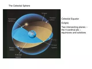
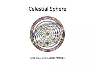
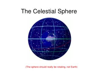
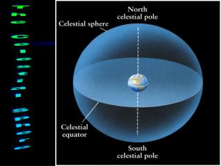
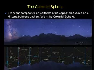
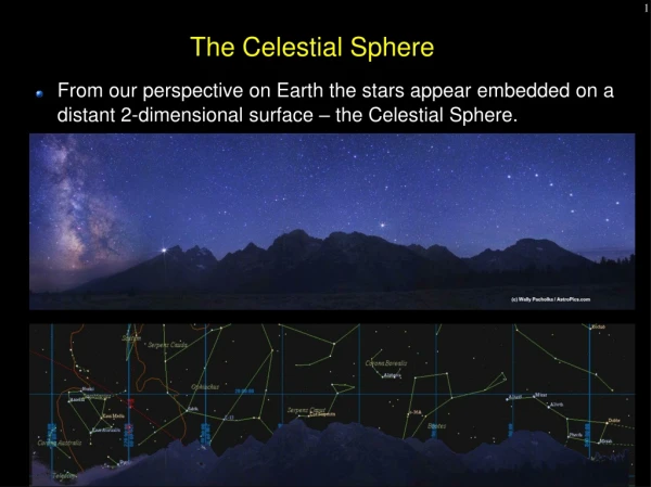
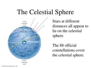
The sky above us is measured as a projection outward from the earth. The celestial poles (P, Q) are directly out from the north and south poles. The celestial equator (A-B)is directly out from Earth’s equator. Projection P A B O Q
Declination is the celestial equivalent of latitude. Angle d compared to equator North positive South negative Declination P X A B O d Q
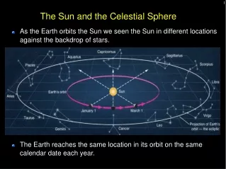
Rotation • The earth rotates, so the stars appear to rotate. • Over same latitude but changing longitude • North and south celestial poles P, Q fixed • East-west orientation is defined by the sun’s position ϒ at the vernal equinox. • Crosses equator from S to N • First day of spring, March 21
Right ascension is the celestial equivalent of longitude. Angle a Stellar coordinates use right ascension and declination. X(a,d) Right Ascension P X E O d ϒ a Q
Heavenly Time • Right ascension is not measured in degrees. • Degrees are converted to time. • 24 hours = 360° • 1h = 15° 1° = 4m • 1m = 15' 1' = 4s • 1s = 15'' 1'' = 1/15 s
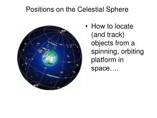
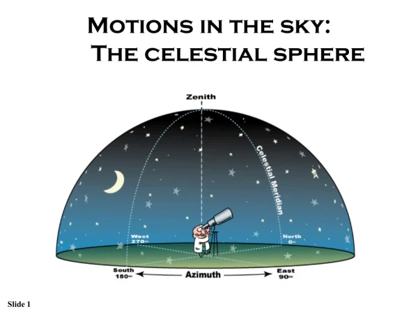
Local View • From a point on the earth the stars appear to be fixed on a sphere that rotates. • The point directly above the observer is the zenith. • The point directly below through the earth is the nadir.
Horizon • The horizon is the line of the ground for an observer. • Altitude is the angle up from the horizon. • Azimuth is the angle east from north.