Download
1 / 16
160 likes | 259 Views
Explore the process of selecting the best site for a wind farm using GIS data and meteorological parameters. Learn about wind shear profiles, boundary-layer flow, data collection methods, and potential errors.

E N D
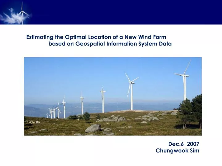
Estimating the Optimal Location of a New Wind Farm based on Geospatial Information System Data Dec.6 2007 ChungwookSim
How does a Wind Turbine Works? Generating the Power - Inside the wind turbine (retrieved from http://green.nationalgeographic.com) • Blades • Low-speed shaft, Gear box, High-speed shaft • Generator
General Sketch of the Project • - Numerical Weather Prediction model • “meso-scale”, “micro-scale” • - Wind Shear Profile • “atmospheric stability”, “roughness” • - Wind Speed at Hub height • - Annual Power prediction
Objective of the Project • - Understand the stability influential factors of a wind shear profile • “Richardson Number”, • “Monin-Obukhov Length” • - Use GIS to integrate various layers • “Multi-dimensional tools”, • “Spatial-analyst tools”
Physical Concepts of Boundary-Layer Flow - Navier-Stokes and Continuity Equation of the atmosphere - Reynolds-Averaged Equations and the Turbulent Momentum Flux - Wind Speed
- Mixing Length, Friction velocity, roughness length • Logarithmic Wind Shear Profile
- Richardson Number andMonin-Obukhov Length • Thermal Stratification on the Wind Shear Profile *** CORRECTION of the Logarithmic Profile - Monin-Obukhov Length Potential Temperature Richardson Number
Data Collection • Format of the data (NetCDF) • a) Choose various locations with different terrain conditions in Texas. • >> http://ned.usgs.gov// • >> http://www.geographynetwork.com/ • b) Investigate and collect data of the topography and other stability conditions • that can affect the wind power production. • c) Collect climate data of wind speed from NOAA online. • >> http://cdo.ncdc.noaa.gov/CDO/cdo • d) Collect the data of demography or energy consumption to determine • the energy demand of each location. • >>http://landcover.usgs.gov/classes.php • Data Catalog of National Centers for Enviornmental Prediction (NCEP) • NARR (North American Regional Reanalysis) dataset • >> http://nomads.ncdc.noaa.gov:8085/thredds/catalog/narr/ • - The operational model: Eta model • - Resolution: 32 km grid • - Data available: 1979 to current • - Directories: 3 hourly climatologies, daily, monthly
Conclusions and Future Work • - GIS is useful in integrating a great number of variables • “Map Algebra” with scripts! • - NARR data catalog is useful in estimating climate related topics • “verification required near surface” • - Annual Power prediction v.s. Demand of Power? • “accuracy in wind speed at hub-height”