Download
1 / 29
290 likes | 419 Views
The Ashuelot River. And it’s management plan. http://www.des.state.nh.us/Rivers/plans/Ashuelot/. Introduction. First: A Background on the river Then: Discuss management plan. Geology. The headwaters of the Ashuelot are at an elevation of 1,600 feet

E N D
The Ashuelot River And it’s management plan http://www.des.state.nh.us/Rivers/plans/Ashuelot/
Introduction • First: A Background on the river • Then: Discuss management plan
Geology • The headwaters of the Ashuelot are at an elevation of 1,600 feet • Remnants of past glacial activity (varved deposits, and glacial lake Ashuelot) • Many high potentaial Aquifers in river corridor
History • The river valley was first inhabited by Squakhag indians. • Pioneers settled the river in the 1700’s • During the Industrial Revolution, the river was major source of power and food for the region, evidenced by the mills still visible today on the river.
Wildlife Resources • Migratory path for raptors, songbirds, and waterfowl • The river corridor provides feeding areas for bald eagles • Habitat for the northern harrier, a state threatened bird • Blue heron, common loon, common nighthawk, and blue grey gnatcatcher are also found along the river.
Plant Resources • The state listed endangered, sensitive senna and spiked needlegrass are found in the river corridor • The river corridor supports two ecologically significant natural communities: Northern New England seepage marsh and Southern New England circumneutral talus forest/woodland
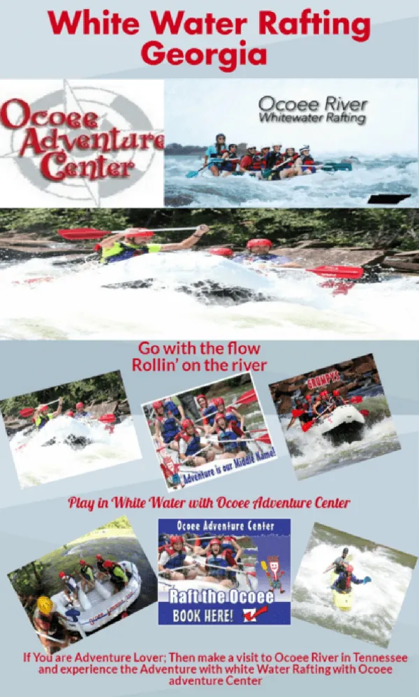
The ponded sections of the river are enjoyed by owners of small watercraft and motorboats. The whitewater sections accommodate kayakers and canoeists Rapids varying from class II to class V Annual canoe race in the upper Ashuelot every spring Recreation
Fishing • Ashuelot Pond supports small and large mouth bass, pickerel, horned pout, and yellow perch • The river's upper reaches with cold, fast moving water provide good habitat for rainbow and brown trout • Walleye, bass, bullheads, and perch are the main catch at the river's confluence with the Connecticut River
Mission Statement • The river and it’s corridor continue to experience pressure for increased development, recreation and other uses of its natural and cultural resources. This trend will likely continue in the future. It is essential to have a management approach that ensures a balance between protection of legitimate community interests and the rights of property owners along the river, in order to protect and improve the existing resource values of the River and its corridor. • The Ashuelot River Corridor Management Plan proposes a management approach with the mission of protecting plentiful clean water, thriving riparian and aquatic habitat for wild plants and animals, providing balance for continued development of land use and water uses, recreation, and other public needs.
Some General Information about the Plan • The plan was developed by the Local River Advisory Committee (LAC) that also reviews environmental permits within the corridor • Definition of river corridor is the river and a quarter mile on each side or the 100 year floodplain, whichever is further. • The LAC recognizes that the river and it’s riparian lands are valued by the communities for many different reasons
Ecological values include biological diversity and unique plant and animal habitat Social values include recreation, scenic areas, aquifers for drinking water supply, flood water storage, river impoundments for hydropower, and developable land area The LAC prepared this plan to protect the river and riparian land for ecological and social values
Purposes of Management Plan • Document the condition of the river and corridor • Document the conditions and trends of resource use within the corridor • Identify threats to the quality of those resources • Identify conflicts of resource protection and development • Present recommendations to the communites
The upper reaches of the Ashuelot • Most of this upper reach is rural, development intensifies near Gilsum • Timber harvest and sand and gravel mining are common activities and are sources for concern • Goals include enhancement of water quality, preservation of wild plant and animal habitat, soil and other resource conservation activities • Protection of historic sites
The upper reahes2 • Water Quality is good, however, threats do exist • Protection of the riparian buffer, use of BMPs to prevent soil erosion, stormwater management, and monitoring of septic systems are important safeguards to water quality
The upper reaches3 • A land conservation strategy is required in order to provide habitat for indegenous plants and animals, however, it is complicated by the private pattern of land ownership. • This might be accomplished by bringing together town governments, conservation commissions, sport fishing clubs and other conservation organizations.
The upper reaches4 • Public access to undeveloped land and to the river itself is a valuable amenity in the upper Ashuelot corridor • Public education about land stewardship, responsible behavior in the outdoors on public or private land, and places where access is permitted is essential to ensuring continued access to public and private lands
Gilsum to Keene • This 14.5 mile stretch of the river transitions from a high energy stream to a meandering stream • Similarly, management issues transition from resource extraction to threats of pollution and lack of riparian buffers
Gilsum to Keene2 • Water quality is considered to be good, however, road salts and herbicides from golf courses represent significant concerns. • Public access is also a concern for this region, most private lands are not posted as no trespassing • Public education to build awareness of responsibilities and building public access areas are suggested
Gilsum to Keene3 • Suburbanization and the Bretwood golf course have eliminated much of the trees and shrubs from the river banks • River bank deforestation has the effects of riparian and instream habitat destruction and loss of floodwater moderation • Private landowners are encouraged to plant and manage the stream.
Gilsum to Keene4 • The rise of suburban development and increased density of the road network and other paved areas increases the impact of non-point source pollution in this reach • Gasoline and other petrochemicals spilled from motor vehicles, particles of metal and other chemicals on roadways and parking lots, and the use of fertilizers and other chemicals for suburban lawn care endanger water quality and aquatic habitats • Public education about management impacts and riparian zones is recommended
Keene • Thisfour-mile Community segment is unique in the corridor for the intensity of urban development on its river banks • Issues here include high percentage of impervious cover, conveyance of runoff via storm sewers, industrial contamination sites, dense street and highway network, and dense development
Keene2 • Water is collected and channeled to the Ashuelot by pavement, rooftops, drains, ditches, culverts, and walled/diked stream channels to move as much water away from development as fast as possible and maximize the amount of land available for development • The negative effects of this include increased flood hazard, as well as, increased erosion.
Keene3 • There are several areas in the City where former municipal or industry practices and accidents left extensive soil contamination • Known contamination sites include underground gasoline spills, abandoned back lot industrial waste dumps, and former municipal dumps • Political will to expose and eliminate these problems must be developed locally and at the state level.
Keene4 • The River has recently enjoyed a renewed appreciation as a city asset • During the last two decades the River in Keene has become a stream of cleaner water bordered by park land and natural areas • A typical paradox has developed concurrently: increased popularity and appreciation of natural areas can lead to destruction of the various attributes
Keene to Winchester • Mostly a rural segment • Canoeing and kayaking are popular in this reach • High nutrient and sediment load from upstream
Keene to Winchester2 • The main problem in this segment is that the river channel is filling with sediment,due to the low gradient and high sediment load • Effects of this situation are several: disruption of ecology of the River water, River bed, and floodplain; reduction in volume of the river channel; and accumulation of pollutants in River bed sediments.
Winchester to Hinsdale • The River bank throughout these last two-and-a-half-miles has a variety of land cover types: upland forest; floodplain forest; impervious surfaces of buildings, pavement, and retaining walls; or rural residential development with lawns, roadsides, and pasture • The corridor in the vicinity of the confluence hosts a variety of riparian, floodplain, and wetland habitats for plants and animals, including waterfowl (raptors, bald eagles, and peregrine falcons)
Winchester to Hinsdale2 • Connection of the homes upstream in Ashuelot to the Hinsdale waste water treatment plant and the installation of the Hinsdale waste water plant are part of the recent restoration of water quality in this part of the River to Class B • Water quality improvements to the Connecticut and Ashuelot Rivers make possible sport fishing at the confluence where fish species include walleye, northern pike, small mouth bass, and large mouth bass