Download
1 / 40
400 likes | 498 Views
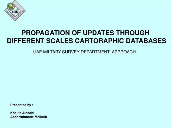
PROPAGATION OF UPDATES THROUGH DIFFERENT SCALES CARTORAPHIC DATABASES. UAE MILTARY SURVEY DEPARTMENT APPROACH. Presented by : Khalifa Alnaqbi Abderrahmane Mellouk. MSD MANDATE. MSD as the UAE National Mapping Organization, Its main mandate is the

E N D
PROPAGATION OF UPDATES THROUGH DIFFERENT SCALES CARTORAPHIC DATABASES UAE MILTARY SURVEY DEPARTMENT APPROACH Presented by : Khalifa Alnaqbi Abderrahmane Mellouk
MSD MANDATE MSD as the UAE National Mapping Organization, Its main mandate is the provision of topographic , aeronautical and Nautical geo-information and maps to the UAE Army as well as to the civilian sector
To fulfill this mandate in a more efficient manner MSD has undertaken The following actions within the framework of a re-engineering process To improve productivity • - In 2007 MSD has established the National Topographic Database NTDB 1:25k • - In 2008 MSD has converted its Topographic data assets in a number of • Cartographic Databases CDB at 50k,100k, 250k,500k and 1000k • - The completion of the conversion of the Aeronautical , Vmap level 1 and • Global map into Cartographic Databases is planned for 2010 • The conversion of Nautical maps is planned for a later stage • - The NTDB is the Master Database and it is Updated regularly. The updates • are only collected once at this level and should be propagated to all the • other CDB’s
Cp Nautical MSD Cartographic Databases Cp Gmap Cp TPC Global Map TPC Nautical Charts/ENC’s JOGs 250k Cp JOGs Vmap Level1 NTDB 1000K Cp 250k Cp 1000k 25K 500K 250K 50K 100K Cp 25k Cp 500k Cp 250k Cp 50k Cp100k
Why Independent Cartographic Databases ? The reason behind adopting the approach of independent cartographic Databases is obviously the fact that up till today there is no full automated generalization process that allows the derivation of the medium and small scale data from large scale database data. There is no doubt that there are several approaches that have been developed and under research but none of them has fully solved the issue yet.
PROBLEM These products are being required and used by the army in many cases simultaneously. For example dataset at scale 50k together with dataset at scale 250k for the same area. The problem is that usually theses datasets are not synchronized in terms of updateness
SOLUTION Therefore MSD has Developed a system to streamline the propagation of the updates that occurs on the NTDB in a semi automatic manner in order to keep all the CDB’s and NTDB synchronized in terms of currency
Cp Nautical Synchronization of the MSD Cartographic Databases JOGs 250k Global Map Nautical Charts/ENC’s TPC A / D A / D A / D Different sources Vmap Level1 Additions / Deletions NTDB 1000K A / D A / D A / D Cp 1000k A / D A / D 25K 500K A / D A / D 250K A / D 50K A / D 100K Cp 25k Cp 500k Cp 250k Cp 50k Cp100k
The approach of the updates propagation In order to design and implement a system for Update propagation We have to consider and define the following aspects: - Updates Definition and classification - Updates retrieval from the NTDB - Updates Semantic Transformation to fit CDB data model - Updates Restructuring to CDB data model - Updates Generalization and alignments - Updates Integration to CDB - Updates Consistency with the existing data
UPDATES DEFINITION AND CLASSIFICATION The changes that occur on the real world can be classified as follows: - A new feature has been established ( such as new road …) - An existing Feature has been demolished - An existing Feature has been modified ( I.e a river has changed its shape) These changes are translated into the databases to : - A new feature line , area or point are added - Existing Features (Area, line or points) to be deleted - The modified objects are translated into deletion of old shape and additions of new shape
UPDATING OF CARTO50K DATABASES FROM NTDB UPDATING APPROACH - Areas blocks allocation by Supervisor - Updates relevance - Update retrieval and restructuring to CDB model - Updates generalization and Cartographic enhancement - Updates Integration with CDB - Updates Integration Quality Assurance
UPDATE RELEVANCE The first action an operator carries out every week is to check if there are any changes And updates that occurred in his area of responsibility since the last change.
The systems shows the changes that are relevant to Ahmed Responsibility Block
By Zooming to the Responsibility Block, the system shows the maps that requires updating.
SELECTION OF THE PRODUCTION UNIT From the results of the Update Relevance action the areas falling in maps nf400144 nf400112 and nf400131 have had some new Updates The update propagation shall be carried out sheet by sheet
UPDATE RETREIVAL AND RESTRUCTURING The approach of the update propagation consists 1- first in selecting the production Unit and carry out the preparation ( I. Nf400112)
2- The Update retrieval and restructuring Updates retrieval The update retrieval is performed based on a time stamp. The system extract all the new updates that occurred on the NTDB a week ago Semantics Conversions For topographic data This is not an issue as All the scales share the same Data Dictionary Schema Conversions Both NTDB and Carto50k has a well defined and stnadards schema. Schem conversion consist of remapping of the features from the NTDB Schema to Carto50k schema
All the above operations are done Automatically by the CPS task : Select New Updates from NTDB This automatically extract the updates from the NTDB, remodel them to the Carto50k structure , symbolize them according to the Carto50k visualization Standards and displays them together with the Carto50k seamless database The Additions are flagged in Dark blue and Deletions in Red
UPDATE FEATURES DELETION The first action is to delete the Deletions from the Carto50k database. For the System will automatically add the extracted Deletions together with Carto50k The Deletions will be flagged with thick Red Color.Then the operator select The these features and delete them from Carto50k
GENERALIZATION AND CARTOGRAPHIC ENHANCEMENT The new updates are then processed cartographically to the Carto50k Standards. Operations such as omissions, displacements , modifications Exaggerations, smoothing … are carried out on the extracted updates In this case there are no required generalizations or enhancements
UPDATES INTEGRATION WITH CARTO50K Once the updates have been cartographically processed according to the Carto50k Standards, the system integrate them automatically with the production version of the operator (holding his name)
QUALITY CONTROL OF THE UPDATES Once the updates have been integrated , the supervisor proceeds to a check of the Following : 1- Completeness of integration 2- Correctness of attribution 3- Correctness of generalization All these are done visually by triggering the Perform QA action from the CPS
This will display automatically the original additions and Deletions together With the Carto50k Ahmed Version updated
Then the Supervisor by switching off the Deletions he can make sure that the deletion Features have been deleted
We can make sure that the feature has been correcly added and well atrributed Since it appears in correct symbol
The correctness of generalization and cartographic enhancements is Also carried out visually and any remark from the supervisor is recorded In a Quality Layer that the supervisor can call from the CPS
The supervisor can record his remarks on the QA Layer that the operator can also Call from the CPS and perform the necessary corrections. This way all the remarks and corrections are permanently available in the database for Quality reporting
RECONCILING AND POSTING TO THE CARTO50K DATABASE Once the updates the supervisor checks the updates completeness Generalization correctness and integrity, He proceeds to a Reconcile And Post to the main Carto50k Database The reconcile and post are usually automatic and in principle there are No conflicts as there there are no overlap areas for editing except on The edge of the blocks.
UPDATES OF OTHER CDBS’S The same process is carried out for the updates propagation to the other CDB’s 50k,100k, 250k,500k and 1000k as well as aeronautical Vmap And Global map products
CONCLUSION The approach that MSD has followed to monitor the propagation of updates Allows a decent synchronization of the main production databases that ensure The provision to the clients with products in different scales but having the same Status of updateness