Download
1 / 15
150 likes | 188 Views
Explore how meteorologists gather atmospheric data on temperature, air pressure, wind, and humidity using instruments. Learn about the importance of data accuracy and density in weather forecasting. Discover how technologies like barometers, anemometers, radiosondes, and radars aid in predicting weather patterns.

E N D
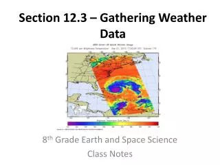
Guided Notes on Gathering Weather Data Chapter 12, Section 3
Meteorologists measure the atmospheric variables of temperature, air pressure, wind, and relative humidity in order to make accurate weather forecasts.
2. Two of the most important factors in weather forecasting are the accuracy and the density of the data, which refers to the amount of data available.
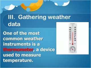
3. Barometers measure air pressure using mercury. Changes in air pressure are indicated by changes in the height of a column of mercury.
4. An anemometer is used to measure wind speed and a hygrometer measures relative humidity.
5. The National Weather Service in the U.S. has established a surface observation network across the country, which gathers data in a consistent manner at regular intervals.
What does a ceilometer measure and estimate? • It measures the height of cloud layers and estimates the amount of sky covered by clouds
7. The weather that we experience is largely the result of changes that take place high in the troposphere. Meteorologists must gather atmospheric data at heights of up to 30,000 m.
8. A radiosonde is a balloon-borne package of sensors that is used to gather upper-level data. These sensors measure temperature, air pressure, and humidity and are sent by radio signal to a ground station that tracks the movements of the radiosonde.
9. Electromagnetic waves in a weather radar system are programmed to bounce off large raindrops. The radar system rotates in a circle, allowing meteorologists to gauge where rain is falling within the radar’s range.
10.Because the motion of moving raindrops is caused by wind, Doppler radar provides a good estimation of the wind speeds associated with precipitation areas, especially those experiencing thunderstorms and tornados.
11.Cameras mounted aboard a weather satellite take photos of Earth at regular intervals. Satellites track clouds, but not necessarily precipitation. Scientists combine data from radar and satellites to determine where both clouds and precipitation are occurring.
12.Some satellites use infrared imagery to detect differences in thermal energy, which are used to map cloud cover or surface temperatures.
13. Infrared images allow meteorologists to determine the temperature of a cloud, from which they can infer its type and its height. This is especially useful in detecting strong thunderstorms that extend to great heights in the atmosphere.
14. Because the strength of a thunderstorm is related to its height, infrared imagery can be used to establish a storm’s potential to produce severe weather.