Download
1 / 15
150 likes | 335 Views
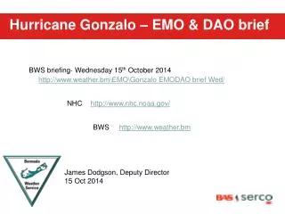
Hurricane Gonzalo – EMO & DAO brief. BWS briefing- Wednesday 15 th October 2014. http://www.weather.bmEMOGonzalo EMODAO brief Wed/. NHC. http://www.nhc.noaa.gov/. BWS. http://www.weather.bm. Kimberley Zuill, Director James Dodgson, Deputy Director 15 Oct 2014.

E N D
Hurricane Gonzalo – EMO & DAO brief BWS briefing- Wednesday 15th October 2014 http://www.weather.bm\EMO\Gonzalo EMODAO brief Wed/ NHC http://www.nhc.noaa.gov/ BWS http://www.weather.bm Kimberley Zuill, Director James Dodgson, Deputy Director 15 Oct 2014
12z Wednesday Surface Analysis Current Surface Map: http://www.weather.bm/maps/Atlantic.gif
12noon tropical update Gonzalo is now Forecast to be a Category 3 Hurricane as it passes close to Bermuda
Forecast – Hurricane Watch Likely going into Hurricane Warning later today Monday 7:30am Forecast Likely going into Hurricane Warning at 4.30pm today Tides: High: 2.36pm/ 3.06am Low: 8.25am/ 9.15pm
12Z TAF – Standard 24hr TAF TXKF 151133Z 1512/1612 12018KT 9999 VCSH SCT025 BKN060 PROB30 TEMPO 1512/1612 12022KT 4800 SHRA BKN014
12Z TAF – 36hr TAF TXKF 1512/1700 12018KT 9999 VCSH SCT025 BKN060 PROB30 TEMPO 1512/1615 12022KT 4800 SHRA BKN014 BECMG 1615/1618 14020KT SCT015 BKN030 OVC120 PROB40 TEMPO 1615/1700 14025G35KT 3200 SHRA SCT008 BKN012
Conclusion • Conditions deteriorate dramatically by Thursday night with gradual improvement later on Friday • Encourage everyone to complete their hurricane preparation by Thursday afternoon – note there could be some gusty winds in showers tomorrow • Large swells – up to 30ft expected, possible surge and flooding to low lying areas Thank you for your attention, any Questions?