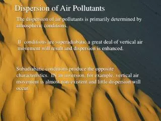
AIR DISPERSION MODELLING
AIR DISPERSION MODELLING. Sinesi Petracchini. Receptor Definition Grid Discrete Elevation. Analysis of results Contouring/Plot Percentiles Thresholds. Generalized process for performing a refined air dispersion modelling assessment. 1-Emission Estimates Type of Chemicals

AIR DISPERSION MODELLING
E N D
Presentation Transcript
AIR DISPERSION MODELLING Sinesi Petracchini
Receptor Definition • Grid • Discrete • Elevation • Analysis of results • Contouring/Plot • Percentiles • Thresholds Generalized process for performing a refined air dispersion modelling assessment • 1-Emission Estimates • Type of Chemicals • Emission rate • Phase-Vapoir/Solid • 2-Site Parameters • Land Use • Buildings • Source Location • Terrain • 3-Met Data • Wind Speed • Wind Direction • Temperature • Mixing Height Buildings Downwash Terrain Processing • Source Inputs • Coordinates • Rlease Height • Exit Temp • Exit Velocity • Emission Rate • Met Processing • Stability Parameter • Micrometeorology Parameter AIR DISPERSION MODEL
The AERMOD air dispersion modeling system AERMAP DEM file NWS Surface (1) Surface file AERMET AERMOD Upper Air (1) Profile File On-Site (1) From raw data files, AERMAP and AERMET generate, the new file input to the model.
AERMET AERMET Row Data
AERMAP • DEM file for complex terrain • Import JPG or TIF as referenced background • Construction of the 3D model of the city. • Development and design of the emission sources
MAP MANAGER TOOL SHANGHAI AIR POLLUTANT EMISSION MONITORINGAPEM PROJECT TRAINING COURSE- ITALY 21-20-01-2007
3D MODEL • DEM esempi • Sito 01 come è stato costruito immagini
CLASS SIMULATON (1) 25.15 11.5 Emission INPUT In the model two point sources are inserted (Stack01 and STACK02), three buildings (BLD, BLD2, BLD3) and two nested greed as receptors (GRD1 and GRD2)
CLASS SIMULATION (2) It is run with one hour average, and 24 hours average for one year
CLASS SIMULATION (3) All sources included- Results of First Highest concentrations 1h average Contours 50 to 2000 One year simulation
CLASS SIMULATION (4) All sources- First Highest concentration 1h average Contours 50 to 2000 NB: Change the meteorological period - only January
CLASS SIMULATION All sources - First Highest concentration 24h average Contour 50 to 450 One year simulation
CLASS SIMULATION All sources- First Highest Concentration 24h average Contours 50 to 450 NB: Change the meteorological period- only January