Download
1 / 42
420 likes | 446 Views
Explore the physical geography of Europe, including the Danube River, Rhine River, English Channel, Mediterranean Sea, Alps, Pyrenees, Ural Mountains, and Iberian Peninsula. Discover unique characteristics and geographical significance of each feature.

E N D
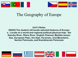
The Physical Geography of EuropeSS6G8 The student will locate selected features of Europea. Locate on a world and regional political-physical map: the Danube River, Rhine River, English Channel, Mediterranean Sea, European Plain, the Alps, Pyrenees, Ural Mountains, and Iberian Peninsula
Rhine River • Longest river in Germany • An important waterway for trade • Begins in Switzerland, winds through Germany, France, Luxembourg, & The Netherlands
Danube River • 2nd largest river in Europe (Volga is first) • Flows through the 12 countries of Germany, Austria, Slovakia, Hungary, Serbia, Croatia, Bosnia and Herzegovina, Slovenia, Bulgaria, Romania, and the Ukraine! • 1,770 miles long • Played a vital role in the development of central Europe (trade & cultural diffusion)
The English Channel • Small body of water that separates England from France • 350 miles long • In the past, it was used as a good system of defense for England • An important waterway for trade
Southern Peninsulas CrimeanPeninsula Iberian Peninsula Italian Peninsula Balkan Peninsula
Iberian Peninsula • The Pyrenees form the northern border • 2nd largest peninsula in Europe • Includes the countries of Spain & Portugal
Mediterranean Sea • Important route for trade & cultural exchange • “Crossroads for 3 continents” (Europe, Africa, & Asia) • Covers an area of 965,000 square miles • Name means “in the middle of the earth” (surrounded by land)
The Alps • Located in Austria, France, Germany, Switzerland, Italy, Slovenia, & Liechtenstein • Major tourist destination • Extend for almost 700 miles!
Mt. Blanc in the Alps It’s the highest mountain in the Alps: 15,771 feet.
Pyrenees Mountains • Form the natural border between France & Spain • Extend for about 270 miles
Ural Mountains • Considered the natural boundary between Europe & Asia • Divide Russia: 1/4 is in Europe, 3/4 is in Asia • 1,500 miles long! • Among the world’s OLDEST mountain ranges • Huge deposits of gold, nickel, silver, platinum, coal, iron, & other minerals
Ural Mountains: “The Great Divide” 1500 miles It divides the European and Asian sections of Russia.
The European Plain • Largest mountain-free landform in Europe • Stretches from the Pyrenees in the west to the Ural Mountains in the east • Extends 2,000 miles • Successful agricultural area