Download
1 / 16
160 likes | 187 Views
Explore the latest activities of the Ocean Surface Topography Virtual Constellation (OST-VC) involving satellite altimeters launches, missions, cross-calibration, and global collaborations. Learn about the progress and future endeavors in ocean surface topography research and data validation.

E N D
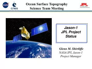
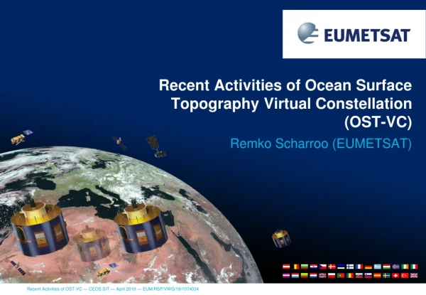
Recent Activities of Ocean Surface Topography Virtual Constellation(OST-VC) • Remko Scharroo (EUMETSAT)
OST-VC — Background • Satellite altimeter launches since 2016 • Fully operational • Jason-3 (Jan 2016) • Sentinel-3A (Feb 2016) • Sentinel-3B (Apr 2018) • In commissioning • HY-2B (Oct 2018) • CFOSAT (Oct 2018) • Long-term (25+ years) altimeter record • Cross-calibration and reprocessing • In-situ data • Various initiatives and projects
OSTST • Ocean Surface Topography Science Team (OSTST) • Is expanding to become a multi-mission international working group on all altimeter missions • Wide range of scientists and operational users with interest in Jason / altimetry missions • Sponsored by all Jason Partner agencies (CNES, NASA, NOAA, EUMETSAT) and ESA • Decision making on data processing algorithms and standards, reprocessing, validation protocols • Commissioning data releases to OSTST PIs for review prior to release to wider community • Mission-long cal/val activities
S3B minus S3ASSHA in SAR Mode Excellent consistency Std of difference only 3.5 cm SSHA Bias is -7 mm (S3B below S3A) Slight dependency of the difference with the sea state Basin Scale Errors ? (waiting for better orbits) Tracks Visible
Jason-2 End-of-life • Small group of experts made recommendations to optimise between constellation needs and science output • Decision making by Joint Steering Group (Partner Agencies) • Currently in geodetic orbit with spatial resolution of 4 km (2 km planned) • To improve detail and accuracy in mean sea surface topography as reference for future missions • To improve knowledge of ocean bottom topography and map tens of thousands of unknown sea mounts
Jason-3 overall status • Reference altimeter mission • Jason-3 is now the reference mission for the monitoring of global and regional sea level rise • Cross-calibratedwith Jason-2 to1-mm level
Sentinel-3 Missions (1) • In-orbit verification, calibration and validation • Conducted largely by Partner Agencies (ESA, EUMETSAT, CNES) • Decision making on data release to S3VT and wider community • Sentinel-3 Validation Team (S3VT) • Wide range of scientists and operational users with interest in Sentinel-3 • Meet approximately yearly to present cal/valresults and report on data quality/availability and areas of improvement • Suggestions for future evolutions of algorithms/auxiliary data and reprocessing
Sentinel-3 Missions (2) • Sentinel-3 Quality Working Group (S3QWG) • Consists of select group of key scientists or operational users (e.g. CMEMS) on various aspects of satellite altimetry applications: • Sea level, sea ice, land ice, winds and waves, climate, geodesy • Reports on quality analysis • Recommends evolutions to Partner Agencies
Sentinel-3 Missions (3) • CEOS OST-VC Highlight • At time of Sentinel-3A launch it was planned to launch Sentinel-3B directly into its interleaved orbit • So no tandem mission • ESA and EUMETSAT with the help of OST-VC recommended to management to have a tandem mission first • Common to previous altimeter missions for long-term record • Unique for optical instruments • Paid off in detecting small inter-satellite (processing) differences
S3A/S3B Tandem Mission • Cross-calibration of SSH measurements • 3.5 cm RMS • –7 mm mean(to climatequality level)
Sentinel-6/Jason-CS • Status • Satellite under integration and testing • System passed Critical Design Review • Processors under development • Organisation • Mission Performance Working Group (EUMETSAT, ESA, NASA, NOAA, CNES) reviewing product specifications and (in future) conduct cal/val and analyse product quality and evolutions • Integration in OSTST • Agencies are preparing call for participation of OSTST members in Sentinel-6 Validation Team • Team will have early access to commissioning data to do additional cal/val within their expertise and recommend evolutions • To be continued throughout mission lifetime
FRM4ALT: Fiducial Reference Measurements for Altimetry • International Review Workshop (April 2018) • Critical review of methodology • Cal/Val using ground-based measurements • Define requirements, establish standards • Calibration such that sea level can be monitored under international standards • Roadmap • Establish reference frame • Minimum set of observations • Harmonised approach with continuous capability • Requirements on in-situ equipment • Transponder, tide-gauges, radiometer
SAOO Phase 0 study • CNES Phase 0 study for new (swath) altimeter constellation • Based on requirement to resolve 50 km & 5 days resolution • Leads to either 15+ 1-D altimeters or 2-3 swath altimeters • Still needs “traditional” 1-D altimeters for reference • ESA Phase 0 study for Swath Altimeter for Operational Oceanography (SAOO) • To lead to establishment of User Requirement Document on SAOO • Study can be expanded to white paper on future overall altimeter constellation • Based on up-to-date requirements on • Spatio-temporal coverage • Accuracy • Long-term stability • Observations of sea ice, continental ice, and inland waters • Accounting for merging of wide swath with nadir altimeter constellation • Intended as OST-VC activity for next 2 years
Contributing missions • CryoSat-2 • Providing ocean topography data since 2010 • Has been essential to the understanding of SAR altimetry in preparation of Sentinel-3 and Sentinel-6 • SARAL/AltiKa • Orbital altitude not maintained since 2016, relying on accurate mean sea surface for SSH anomaly measurements • CFOSAT • Nadir information will be useful for developing higher level products • Hai Yang 2 • HY2A: Moved to geodetic orbit in 2016 • HY2B: Under commissioning
Summary • Best constellation of surface topography missions ever • Best constellation ever
Challenges ahead • Wide swath and conventional altimetry • Integration of conventional altimetry and wide swath to optimum temporal/spatial resolution and operational needs • Future of reference missions • What after Sentinel-6B? • Noting that Sentinel-3A/B/C/D will have more than 15 years of overlap with reference missions