Download
1 / 11
110 likes | 247 Views
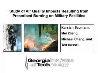
This study examines the air quality consequences of prescribed burning in Southeastern U.S. military installations that overlap with endangered species habitats. Despite concerns about PM2.5 emissions, prescribed burning is recognized as an effective habitat management tool. Emissions from these practices have not been fully characterized, especially regarding particulate organic compounds. The findings indicate that high prescribed burning and wildfire intensities lead to violations of PM2.5 standards. Enhanced emission profiling and tracking are recommended to better understand impacts on air quality and ecosystems.

E N D
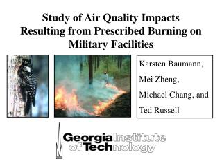
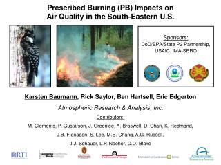
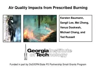
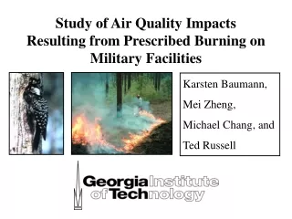
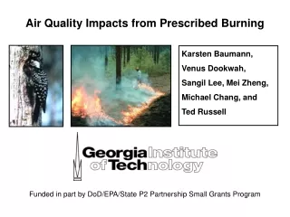
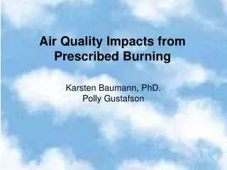
Air Quality Impacts from Prescribed Burning Karsten Baumann, PhD. Polly Gustafson
Endangered Species Act Clean Air Act Military Installations in SE-US occupy endangered species habitat while maintaining ecosystems with prescribed burning activities, therefore increasing risk of NAAQS violations.
Background • Other agencies such as USEPA, USFWS, and GFC agree that prescribed burning is the best and most cost efficient method for maintaining habitat. • This study started with FLAQS which was to look at ozone in three cities. • Dodged the bullet on ozone, due to weather. • PM 2.5 followed the ozone pattern • Needed to get ahead of the curve on PM 2.5 • In the mean time, US EPA designatedthe Russell County-Muscogee Air shed non-attainment for PM 2.5. • In 2005, ADEM and GA EPD petitioned US EPA to use the figures from the spatial averaging effort. • However, numbers have to remain “GOOD” for 2005 in order to stay in attainment.
The Study • Forest Fires (wildfires & prescribed fires) are a significant source for primary PM2.5 in GA and SE-US. • PM emissions have not been well characterized, esp. particulate organic compounds (POC) in PM2.5 and their impact on air quality. • Developed an emission profile for this new PB source and estimate its contribution to ambient PM2.5 observed at the State’s regulatory monitoring sites. • Prescribed burning is indicated as primary land management tool for: • the benefit of the forest ecosystem • endangered species • and in the case of the U.S. military, DOD’s mission.
Importance of direct (primary) vs. indirect (secondary) emissions ? O3, SOA CO CO2 VOCs NOx Toxics PM Organic carbon (OC) is a dominant species of particulate emission. Emission Factors (EF) higher at smoldering than flaming; even more as C content increases.
16 6 40 15 : OC/EC ratio Comparisons With Other Studies Dr. B characterized particulate emissions from a brief pilot study in April 2004 and compared them with previous studies. Findings: • Similar identified organic mass concentrations and fractions • Different OC/EC ratios, but similar value from this study & Hays
Ft.G. burn 2 Ft.B. burn 1 Ft.B. burn 2 Ft.G. burn 1 Source Apportionment at Receptor Sites Comparison of PB profile with Hays et al., while all other source profiles remained same! PB contribution to measured ambient [OC] Hays et al. vs. This study max 1.52 mg m-3 (20 %) max 1.76 mg m-3 (28 %)
Major Findings • Climatological effect of precipitation-rich years beneficial for PM2.5 attainment. • Local impacts from high PB and wild fire intensities cause violation of 24h and also annual NAAQS for [PM2.5]. • Annual PM2.5 NAAQS is sensitive to i) SOA formed under regional stagnation in summer; ii) Primary PM2.5 from local sources at night in winter; iii) regional transport within air sheds. • Emission Factors (EF) higher at smoldering than flaming; even more as C content increases. • Application of in situ PB emissions profile yields 1.3 times higher contributions to ambient [OC] than laboratory generated emissions profiles
Recommendations • More emission characterizations needed to differentiate specific land use types and fuel types across GA and the SE. • Size and specie resolved emissions necessary to better understand mechanisms of primary and secondary PM formations. • Tracking of plume within first 2-3 hours would allow assessment of chemical reactivity and (trans-) formation potential of aerosol species. • Impacts on larger temporal and spatial scales (climate, haze, region)?