Download
1 / 17
170 likes | 267 Views
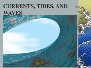
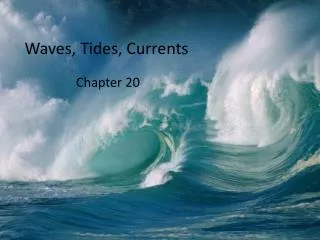
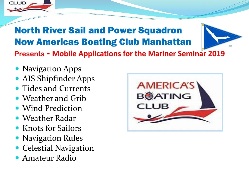
North River Sail and Power Squadron Now Americas Boating Club Manhattan Presents - Mobile Applications for the Mariner Seminar 2019. Navigation Apps AIS Shipfinder Apps Tides and Currents Weather and Grib Wind Prediction Weather Radar Knots for Sailors Navigation Rules

E N D
North River Sail and Power SquadronNow Americas Boating Club ManhattanPresents -Mobile Applications for the Mariner Seminar 2019 • Navigation Apps • AIS Shipfinder Apps • Tides and Currents • Weather and Grib • Wind Prediction • Weather Radar • Knots for Sailors • Navigation Rules • Celestial Navigation • Amateur Radio
General Considerations • Advantages of Mobile Apps and Devices • Hardware and software much less expensive than dedicated chart plotter receivers. • Many more apps available than dedicated devices • Pads are portable and can be used anywhere on or off boat or for other activities • New apps and updates constantly available many are free or lowcost • Uses Location finding from cell and wifi as well as gps • Very high resolution viewing • Can be charged with ordinary mobile chargers • Can be viewed horizontally or vertically • Can receive wifi signals from many newer marine instruments including wind, speed, radar, AIS. • Faster and More memory than dedicated units. • Disadvantages • Equipment not designed for marine environment and difficult to read in direct sunlight • Many apps need wifi or cell to operate which may not be available • May need a cell antenna mounted on mast top for reception • Some devices do not have a GPS and depend on cell towers (needs add on GPS for out of range) • Nav apps have less features than dedicated unit • AIS not received from VHF signal but from internet unless an AIS receiver with wifi is on board • Data service charges may mount up • Best used as a backup
OpenCPNWebsitefree Chartplotterand GPS Navigation Software • About OpenCPN - Developed by a team of active sailors using real world conditions for program testing and refinement - Verified Super Clean Code, Open Source, Its Free Software and provides free direct download to all NOAA Charts. • Supported Chart Formats , Worldwide standard S57 and encrypted S63 vector chart support., BSB v3 and earlier raster charts. MBTileschartsets., Up-to-date ENCs for selected worldwide regions. • Navigation – AIS, Routes, GPS Tracking, Route navigation with ship tracking functions, Waypoint navigation, Autopilot output support. • Alarms - Anchor watch/alarm functions, MOB Alarm with tracking. • Weather - GRIB and GRIB2 file input and display for weather forecasting. • Plugins - Over 40 plugins to choose from. • User Manual- Built in for offline use. • Display - Single-chart and Quilted display modes, Single and split-screen display, North-up, Course-up and Chart-up., Moving-map display mode., Tide and Current prediction and display by location, IHO S52 compliant display of S57 and S63 vector charts.NMEA Data - Dashboard for configurable on-screen display of ship's NMEA data, Data Transfer - GPX waypoints, Track and Route input and output file support, GPX Layers for annotation of charts. • OpenCPN is the official choice of USPS for its courses and training. Its open source allows programmers all over the world to contribute an ever growing list of features. • NOTE – OpenCPN is not available for IOS (Iphone and I Pad). Android version has free and paid versions and not as many features as computer version (MacOS and Windows 10)
Cmap Embark Website • Embark - Marine Charts. GPS navigation for Boating • C-Map Embark provides high-quality nautical maps along withnavigation, traffic and weather information. • C-MAP Embark enables you to:• Download or stream for free the latest up to date offline marine charts • Navigate with offline personal charts, keeping access to saved routes, places and tracks as if you were online• See AIS data: see the boats around you within 100 km radius, as well as their position, speed and course • Switch between day, night and bright mode• Get weather information • Find relevant information about marinas, harbors, beaches, shops and much more• Personalize your own maps: highlight areas of the map based on your boat size, use your favourite units of measurement, create places routes and tracks• Help others discover the best places by sharing places, routes, tracks, reviews, photos and more • Save places you want to visit, and access them later from ay computer or device • C-Map Embark updates on a continuous basis. • Good video comparison of Cmap, Garmin and Navionics charts. https://m.youtube.com/watch?v=Ib08dZ1XtSc
Navionics Website • Navionics was bought by Garmin which released a new universal app that replaces the former editions. • Uses the same charts as on Garmin Chart Plotters. There is a subscription fee for the charts. • Features • Tracks, Routes, Distance, Markers, Wind - Tides – Currents, Wifi interface with Garmin Chart plotter and many more
Ship Finder Live Marinepinkfrootlimited Description • Ship Finder shows live moving ships on a worldwide map. The intuitive design combined with incredible performance puts you in control. • Ship Finder covers most of the world, tracking 30,000+ ships simultaneously. • Simply tap a ship to see its name, type, photos, speed, dimensions and much more. (See shot on left). • Powerful features such as filters, search, night mode and the ability to save favourite ships are included. (You can choose Apple or Google maps too!). • Add and browse bookmarks to saved locations around the globe to quickly navigate to areas or ports of interest. • You can even use Augmented Reality (AR) view to identify ships out at sea using your device camera. • Ship Finder works by picking up AIS ship feeds used by all passenger vessels, vessels over 300 tons and increasingly by smaller pleasure craft and yachts. This technology is actually faster than radar and is used by vessels for safety and navigation. • Ship Finder provides near real time “virtual radar” AIS maps. It’s easy to use and is an amazing app for anyone interested in shipping, cruising and sailing in ports and locations across the world. It’s also great if you simply want to know what boats are out there or want to see where your friends and family are. Ship Finder is also used extensively by maritime professionals and mariners. • What’s New - Support for new iPad Pro devices • Note: Shipfinder depends on the internet and is not the same as a true AIS VHF receiver that gives real time coverage. There is a fee for near real time operation.
NOAA Buoy and Tide DataWebsite NOAA Buoy and Tide Data - $1.99 • The first and still the best, NOAA Buoy and Tide Data allows you to retrieve weather data from NOAA's National Data Buoy Center. It also provides tide predictions for the US and Moon phase information. The perfect tool to help plan your time on the water. **For a map of buoys locations, go here: http://www.ndbc.noaa.gov/ * NEW - Home page lets you keep your most commonly used data in one place. * Search for buoys by name. * View buoys near you with customizable search radius. * Use GPS or manually entered location. * Map of buoy locations. * Detailed live buoy data with access to location specific forecasts. * Save your favorites for easy access. * Quick access to buoy's website from within the application. * Buoys sorted by proximity to your selected location. * Tide Predictions. * Moon phases. Data can include wind speed, gusts, and direction as well as pressure and other relevant marine data. This data is dependent on the buoy since not all buoys have the same sensors. If you participate in activities where marine weather is important, you need this app. Great for: boating sailing diving fishing kite boarding and any activity where marine weather conditions are important. If you fish at sea like we do, this is a great app for you. Another quality App brought to you by boaters and fisherman. We use our products everyday and listen to our customers. If you have any issues, please contact us. We will reply.
SailFlowWebsite • SailFlow is our favorite Sailing wind and weather source. Reporting windy conditions, it delivers the Weather Where You Sail! • LIVE WIND: SailFlow LIVE WIND gives you a great view of the wind. A truly next-level feature. • LIVE WIND = Flow Map Forecast + the latest reports from our real-time Weather Stations. • FREE Weather Stations: Real-time wind reports from over 50,000 stations Worldwide. • PRO Weather Stations: These are the ultimate Game-Changers! Since 1987, we deliver the finest Real-time wind reports from hundreds of exclusive SailFlow PRO Weather Stations: Built ultra heavy duty and maintained by our own engineers, and meteorologist-sited for the highest possible quality of wind reports. • FREE Forecasts: For anywhere on Earth. We deliver all of the leading global Forecast models to your fingertips. • -PLUS Forecasts: But when it comes to Forecast Models, ours is the master class edition: SailFlow's own WF • PRO Forecasts: These are simply the finest Wind forecasts available anywhere!
PredictWindhttps://itunes.apple.com/us/app/predictwind/id477048487?mt=8PredictWindhttps://itunes.apple.com/us/app/predictwind/id477048487?mt=8
NOAA Weather Radar Live Website • Description • Real-time radar images, severe weather alerts, accurate weather forecasts and much more - precise & timely to keep you safe! Goes directly to radar. • - Radar overlay shows the areas of rain, snow & mixed precipitation in high resolution and vivid colors right on the interactive map; • - Precipitation map provides precipitation forecast for the next 24 hours; • - Satellite map illustrates the cloud cover across the world; Satellite map illustrates the cloud cover across the world; • - Choose background maps (standard, hybrid, satellite), search locations, add them to bookmarks and always stay out of harm’s way. • Note – This version is free. There is a premium version with extra features that requires a subscription fee.
Animated Knots by GrogAnimated Knot Website • Animated Knots by Grog. (Courtesy of Grog)Created by multiple generations of the U.S.-based Grogono family, has acombination of multimedia and researched background that we found in any app. The Grogonos have a history in competitive sailing, but there are also categories for camping as well as search and rescue. They learned how to make a quick-and-dirty emergency harness out of webbing, and loved the expert perspective on the advantages and disadvantages of each knot. • Number of Knots: 110 • Android, iPhone, and iPad ($4.99) • See https://www.outsideonline.com/1785916/what-are-best-knot-tying-apps for a list of the best knot apps.
Navigation Rules 4+ Boating RegulationsWebsite Double Dog Studios • 4.7, 124 Ratings $3.99 • Description • Navigation Rules contains a complete copy of the International Regulations for Preventing Collisions at Sea, 1972 (COLREGS), including amendments and the Inland Navigation Rules, in effect for all inland waters, including the Great Lakes. App is COLREGs most recent version dated - July 2015. • This app includes an annotated table of contentsand a search function to help the reader quickly find the rule and related references. A Favoritespage allows quick access to commonly referenced pages.
EchoLinkSynergenics, LLC • Please note: This app is for licensed Amateur Radio operators only. See www.echolink.org for more information. • Turns your smartphone into a VHF Ham Radio through the worldwide EchoLink system. • EchoLinkprovides access to the EchoLink network for validated EchoLink users. You can use this app to connect to anywhere in the world thorugh the EchoLinksystem using an iPhone, iPad, or Android. • If you are not already a validated EchoLink user, you will be required to register (using your Amateur Radio callsign and a password of your choice) the first time you run the app. Please see the iPhone FAQ at www.echolink.org.