Download
1 / 34
340 likes | 372 Views
Explore groundwater issues near Lake Nebagamon, WI, including seepage concerns and potential density challenges. Learn about ArcGIS Pro Groundwater Tools and their applications for water quality enhancement.

E N D
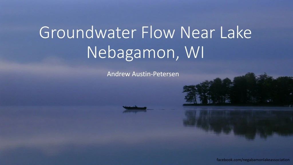
Groundwater Flow Near Lake Nebagamon, WI Andrew Austin-Petersen facebook.com/negabamonlakeassociation
Overview • Lake Nebagamon • ArcGIS Groundwater Tools • Progress • Issues • Goals
What? Why? Where? • What is a “Nebgamon”? • Chippewa phrase meaning "place to hunt deer by fire on the water.“ https://en.wikipedia.org/wiki/Lake_Nebagamon,_Wisconsin • Why Lake Nebagamon? • Family Cabin • Where? • Northern Wisconsin!
Water Quality Concerns • Currently “relatively healthy” • Majority of homes are on septic • Seepage contributes to phosphate accumulation • Potential for increased cabin density • Optimal areas for extending sewage system?
ArcGIS Pro Groundwater Tools • Assumptions • Steady State Flow • Vertically Mixed • Two dimensional model
ArcGIS Pro Groundwater Tools • Interpolated from well data or from model
ArcGIS Pro Groundwater Tools • Interpolated from well data or from model • Physical constant • gSSURGOValu Tables
ArcGIS Pro Groundwater Tools • Interpolated from well data or from model • Physical constant • gSSURGOValu Tables • Measured or modeled
ArcGIS Pro Groundwater Tools • Interpolated from well data or from model • Physical constant • gSSURGOValu Tables • Measured or modeled • Hydraulic Conductivity * Saturated Thickness • gSSURGOValu Tables
ArcGIS Pro Groundwater Tools • Groundwater Volume Balance Residual • Net flow into or out of a cell • Indicative of the internal consistency of the raster data • Ideally all cells are zero
ArcGIS Pro Groundwater Tools • Groundwater Volume Balance Residual • Net flow into or out of a cell • Indicative of the internal consistency of the raster data • Ideally all cells are zero • Groundwater Flow Direction
ArcGIS Pro Groundwater Tools • Groundwater Volume Balance Residual • Net flow into or out of a cell • Indicative of the internal consistency of the raster data • Ideally all cells are zero • Groundwater Flow Direction • Groundwater Flow Magnitude
ArcGIS Pro Groundwater Tools • From Darcy Flow
ArcGIS Pro Groundwater Tools • From Darcy Flow • Entered Manually • Why isn’t this a drop down?
ArcGIS Pro Groundwater Tools • From Darcy Flow • Entered Manually • Why isn’t this a drop down? • ASCII File
ArcGIS Pro Groundwater Tools • From Darcy Flow • Entered Manually • Why isn’t this a drop down? • ASCII File • Default is one-half cell size
ArcGIS Pro Groundwater Tools • From Darcy Flow • Entered Manually • Why isn’t this a drop down? • ASCII File • Default is one-half cell size • Default is infinity
ArcGIS Pro Groundwater Tools • From Darcy Flow • Entered Manually • Why isn’t this a drop down? • ASCII File • Default is one-half cell size • Default is infinity • Optional polyline feature
ArcGIS Pro Groundwater Tools • From Darcy Flow • Entered Manually • Why isn’t this a drop down? • ASCII File
ArcGIS Pro Groundwater Tools • From Darcy Flow • Entered Manually • Why isn’t this a drop down? • ASCII File • Default is one-half cell size • Default is infinity • Optional polyline feature
ArcGIS Pro Groundwater Tools • Particle Track ASCII File
ArcGIS Pro Groundwater Tools • Particle Track ASCII File • Input Rasters for Darcy Flow
ArcGIS Pro Groundwater Tools • Particle Track ASCII File • Input Rasters for Darcy Flow • Pollutant Specific Parameters
Next Steps • Generate Particle Path & Porous Puff for each address point near lake • Utilize automation or Python? • Explore options for modeling • Generate lower residual in head/transmissivity rasters • Combine and analyze porous puff rasters