OmniSTAR: Real-time Decimeter Positioning and Navigation Worldwide
620 likes | 672 Views
Explore OmniSTAR's global network solution for precise positioning and navigation, including products, applications, and future advancements. Learn how Fugro and Thales-Geosolutions merge to enhance services.

OmniSTAR: Real-time Decimeter Positioning and Navigation Worldwide
E N D
Presentation Transcript
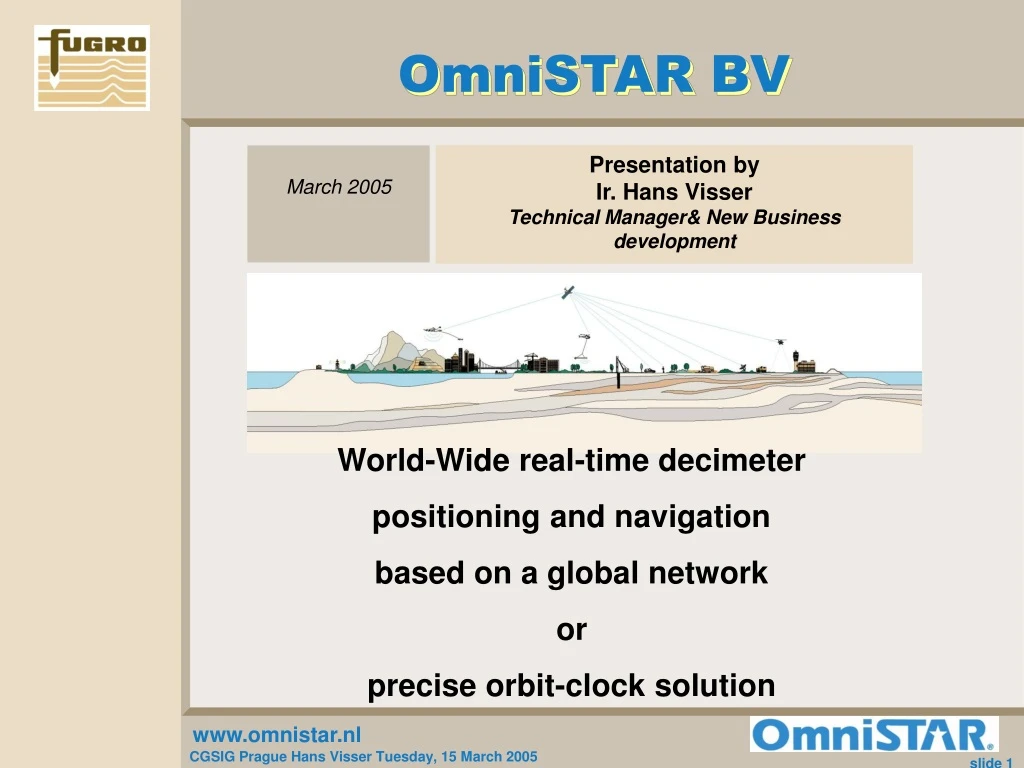
OmniSTAR BV Presentation by Ir. Hans Visser Technical Manager& New Business development March 2005 World-Wide real-time decimeter positioning and navigation based on a global network or precise orbit-clock solution
Overview of Presentation • Fugro • OmniSTAR • How does OmniSTAR work • Products • VBS DGPS Virtual Base Station • HP High Performance Recent improvements • XP eXtended Performance (Orbits and Clocks) • Conclusions • Future
Fugro Overview • FUndation and GROund= FUGRO • Headquarter Netherlands • 8000 employees World-Wide • 200 offices in over 50 countries • Merge with Thales-Geosolutions Nov 2003 • Integrate the Landstar network • Include the XP solution • Turnover 1,022 Billion Euro over 2004 • Profit 65 Million Euro over 2004
STRUCTURE OF THE FUGRO GROUP FUGRO GROUP GEOTECHNICAL DIVISION SURVEY DIVISION GEOSCIENCE DIVISION Quantify and qualify resources for oil, gas, minerals and optimise production Investigation & advice on the physical properties of soil and materials for constructions Positioning, mapping and charting, geological advice and support services for developments OmniSTAR BV
OMNISTAR WORLDWIDE Leidschendam Houston Dubai OmniSTAR B.V. OmniSTAR B.V. Singapore Perth Johannesburg OmniSTAR Inc. OmniSTAR Pty. South Africa OmniSTAR Pty.
STRUCTURE OF THE OMNISTAR GROUP OMNISTAR GROUP OmniSTAR Inc. OmniSTAR B.V. OmniSTAR Pty. • Australia • Asia • South Africa • North- & South America • Caribbean • Europe • Russia • Ukraine • Kazachstan • North Africa • Middle East • India • Pakistan
OMNISTAR BV SALES INTRODUCTION VBS HP APPLICATIONS AM CONTACT US
END-CUSTOMER 4% MILITARY DREDGING 2% 1% GIS AVIATION MAPPING 7% 3% 11% SURVEY 30% AGRICULTURE 42% SYSTEM INTEGRATOR 0% OMNISTAR MARKET SEGMENTS
BELGIUM DENMARK 2% 2% EGYPT 2% USA FR 9% 8% UK 14% UAE 2% GERMANY 22% SPAIN GREECE 6% 1% NL 21% SAUDI ARABIA 2% IRELAND 3% ISRAEL ITALY 2% 4% OMNISTAR MARKET DIVISION (by country)
OmniSTAR Infrastructure • 90 GPS Reference stations • L1/L2 • 10 Glonass Reference stations • 6 High Power Geostationary Satellite beams • EA-SAT Europe/Asia Satellite • AF-SAT Africa • AMSC North America(East/Middle/West) • AMSAT North and South America • APSAT Asia Pacific Satellite • OPTUS Australia Spot beam • 2 Independent Network Control Centers • Houston USA • Perth Australia
OMNISTAR Infrastructure Source:www.surveyplanner.com
Prague OmniSTAR HP Network of Ground Stations Source:www.surveyplanner.com
Prague OmniSTAR HP Send data to Uplink centre Satellite Uplink Source:www.surveyplanner.com
Prague Omnistar HP Send data to Geo-Satellite Satellite Uplink Geostationaire Satellite Source:www.surveyplanner.com
Prague Omnistar HP All calculation in Mobile Satellite Uplink Geostationaire Satellite Source:www.surveyplanner.com
Prague Omnistar HP Networked solution Networked L1/L2-Iono +SV orbit +SV Clock Source:www.surveyplanner.com
OmniSTAR HP INITIALIZATION TIME • Convergence: 20 minutes average for 30 cm CEP • Improvement and implementation: • Use known point as start value: Within 2 minutes • DGPS as start value (50 cm direct, 10 Min for 30cm • Static Convergence: 15 Min • Re-initialization after • loss of signal <5 minute :Direct HP
HP Convergence over 80 hourly sample Estimated Standard deviation Real Standard deviation
HP Re-initialization How to go get back to HP accuracy in a tunnel or going under trees
Re-Initialization • Static receiver • September 2003, Lafayette, USA • 69 gaps of 20 s (average)
Re-Initialization, results Success rate: 98.5%, average error: 0.05 m
OmniSTAR XP (eXtended Performance) • Absolute positioning • Precise Point Positioning (PPP) • External corrections • Satellite orbits and clocks from JPL • Dual-frequency observations • Ionosphere-free code and carrier
PPP – additional error sources • Earth tides • Up to 30 cm • Ocean loading • Up to 5 cm • Polar motion • Up to 2.5 cm
17:00: Up -0.02 m 12:00: Up -0.11 m Earth tides movement
XP - Lafayette, USA Easting, standard deviation: 0.05 m Northing, standard deviation: 0.04 m Height, standard deviation: 0.09 m