Download
1 / 10
100 likes | 272 Views
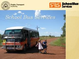
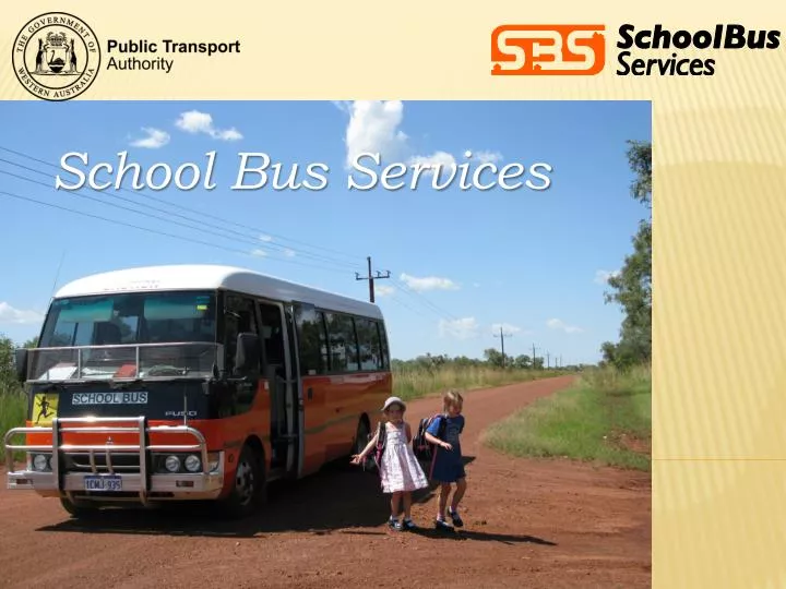
School Bus Services. Our aim is to provide eligible students with transport assistance to/from school. Transport assistance can be in the form of contracted school buses, conveyance allowance or public transport at concession fare rate. Services cover Perth Metro and rural area

E N D
Our aim is to provide eligible students with transport assistance to/from school. • Transport assistance can be in the form of contracted school buses, conveyance allowance or public transport at concession fare rate. • Services cover Perth Metro and rural area • Transport over 26,000 students to school each day and manage over 850 ‘orange’ school buses Background
School Buses are operated by private contractors. Contractors are paid based on mileage Bus contractors are supplied with a student list and bus route to pick up/drop off students How do the business operate?
SBSIS (School Bus Services Information System) Customised tools have been built on top of the ESRI software to streamline the routine data capture work. Manages all bus routes, stops and student information School Bus Services GIS system
All bus routes are captured using RCL • Route Distance calculation • Determine Sealed and Unsealed Distance • Production of Transport maps and Route Descriptions • Route Planning & Area Maps • Generate optimal route using Road Network • Distance verification: • Determining Closest School & Distance from School • Conveyancing Allowance • Distance to Closest bus stops Role of RCL Data
When bus routes are captured, the UFIs of all associated road segments are also captured • Compare existing bus routes UFIs to new Landgate UFIs to check for updates • Modify road segments • Add school access/private roads Road update process
Data currency • Outdated roads • Missing connectors across dual carriage roads • Road realignment • Road name attribute – Action Required, Unnamed road • Sealed / Unsealed attribute • Road segments not connected • Private roads not captured Issues with using RCL
Flow direction Turning restriction Overpass Median strip Speed limit Routable RCL Requirements