Download
1 / 33
330 likes | 348 Views
Join the regional climate modeling consortium for reliable climate change projections compatible for infrastructure decisions. Dynamical downscaling crucial due to terrain complexities. Collaborative efforts and pooling resources for impactful climate modeling.

E N D
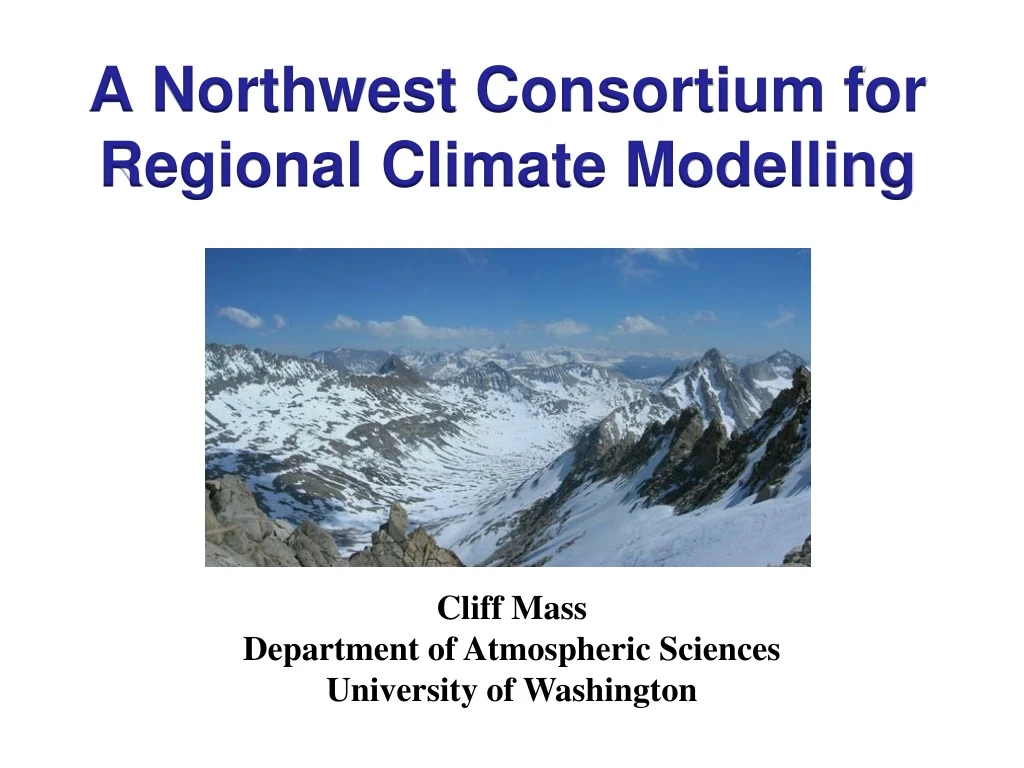
A Northwest Consortium for Regional Climate Modelling Cliff Mass Department of Atmospheric Sciences University of Washington
Bottom Line • As the earth warms, we need projections of the future climate of our region • There is only reliable way to do this: high-resolution dynamical downscaling of many global climate simulations. • It makes sense to combine resources and do this as a community. • This month a regional climate modeling consortium has been initiated and all of you are invited to join.
Society needs reliable information on the regional implications of climate change • Infrastructure decisions are being made now for assets that will last well into the current century • Adaptation planning
Global Climate Models (GCMs) provide a large-scale view of climate change impacts
Problem: GCMs are too coarse to simulate the effects of critical terrain/coastal effects. Climate Model Terrain
Two Main Approaches to Downscaling of GCMs • Statistical: using contemporary relationships between large scale fields (e.g., temperature or precipitation) and their high-resolution distributions. • Dynamical: using high-resolution mesoscale models (a.k.a., regional climate models) with boundary conditions driven by GCMs
The only viable approach for downscaling GCMs is Regional Climate Modeling through dynamical downscaling
Dynamical Downscaling Not Statistical Downscaling • Only fully dynamical downscaling can hope to simulate the non-linearities and complexities of the future climate response. • Examples: • Location and distribution of precipitation as stability changes. • Onshore flow and coastal marine clouds enhanced by greater onshore pressure gradients • Albedo feedbacks as mountain snow melts.
Global versus regional climate models for NW Temperatures Regional climate model Global model 1995 to 2095
For the Pacific Northwest, regional climate simulations must have a grid spacing of 12-15 km or lessDemonstrated by over 10 years of twice-daily simulations at 36-12-4-1.3 km at the University of Washington, with objective verification
The Proper Domain Structure is Crucial • GCMs have insufficient resolution for major terrain features, resulting in large simulation errors that make their results unreliable for local decision making. • Regional climate simulation must have sufficient resolution (~30-40km) on a large enough grid to get the Rockies right—or cold air spills over the Northwest from the cold continental interior.
Cold Waves Under Global Warming PCM Cold Wave Under Global Warming 12 Feb 1990
But there is another issueThere is substantial uncertainty and variation in GCM projections. Thus, we must downscale large numbers of GCM simulations to secure realistic variability and to produce probabilities of what will happen.
Temperature Change from CMIP-5 GCMs Surface Temperature Change from 1970-2000 compared to 2070-2100
But that is not all… • We must only use GCMs that provide realistic climatologies and variability during contemporary periods. • Must apply statistical calibration (e.g., removal of systematic biases) to the projections based on contemporary periods. • Must combine the regional climate model output to produce probabilistic guidance.
And more…Must run additional physics/applications (e.g, hydro, coastal ocean, air quality) to create a total environmental projection system for the future.
To do all this work is a large but doable task. Why not accomplish it together, sharing the costs and effort?
The Northwest Regional Climate Modeling Consortium • Combine resources of regional government entities, state and Federal agencies, foundations, academic institutions, tribes, and others. • Similar to the current NW Modeling Consortium, decisions could be make by contributing stakeholders
Regional Climate Modeling Consortium Tasks • Acquire sufficient computer resources for regional climate model dynamical downscaling. • Acquire GCM runs and filter out poor performers • Run dozens of high-res regional climate simulations for 100-150 years • Apply sophisticated statistical post-processing • Run ancillary modeling systems, such a hydrological models.
Can Combine Regional Resources • University of Washington • Washington State • Oregon State • University of Idaho • PNNL • Private Sector (e.g., Amazon) • …..and more
It Has Begun • Initial personnel funding from Amazon • Initial computer resources from Amazon • First meeting of potential stakeholder/contributor group on December 9.
First MeetingDecember 9th, 1-3 PMUniversity of Washington310 Atmospheric Sciences Bldg.In person or online (GotoMeeting)Let me know if you are interested…