Download
1 / 12
120 likes | 294 Views
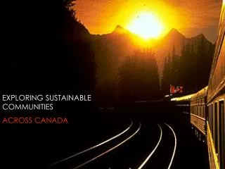
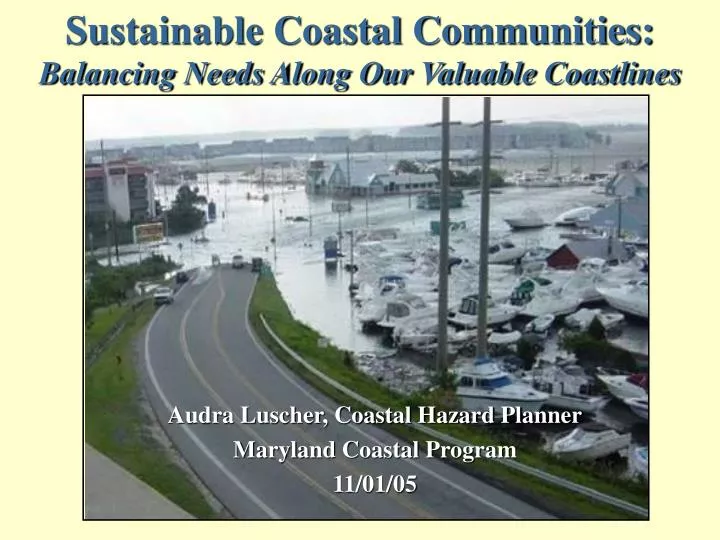
Sustainable Coastal Communities: Balancing Needs Along Our Valuable Coastlines. Audra Luscher, Coastal Hazard Planner Maryland Coastal Program 11/01/05. Local Government Capacity. Many communities are struggling to keep up with the increase in technological advances like GIS

E N D
Sustainable Coastal Communities: Balancing Needs Along Our Valuable Coastlines • Audra Luscher, Coastal Hazard Planner • Maryland Coastal Program • 11/01/05
Local Government Capacity • Many communities are struggling to keep up with the increase in technological advances like GIS • Limited in their resources to utilize mapping technology • Tools often not effective as local government can not keep the information current, its not accessible, or in the appropriate format
Advancements in Coastal Hazard Mapping Technology LIDAR: LIGHT DETECTION AND RANGING
Floodplain Mapping - Present Digitized FIRMS with Flood overlay
Floodplain Mapping - Future 3-D Ortho Imagery with Floodplain overlay
Sea Level Rise Mapping - Present General guidance maps on land vulnerable to SEA LEVEL RISE EPA 2001
Public Landing, MD Present Conditions Public Landing, MD 2100 Current Rate of SLR 1ft per100yr Sea Level Rise Mapping - Future
Building Community Capacity to Incorporate New Technologies OPPORTUNITY 1: Support initiatives that take advantage of economies of scale when acquiring large and expensive imagery.
NSGIC Proposal: Imagery for the Nation Photos Courtesy of National States Geographic Information Council
Building Community Capacity to Incorporate New Technologies OPPORTUNITY 2: Ensure mapping products and information derived from hazard mitigation planning is incorporated into decisions about land use and where to direct future growth and development.
Building Community Capacity to Incorporate New Technologies OPPORTUNITY 3: Provide direct assistance to build local capacity to utilize information and data such as providing training to staff and raising the awareness of local elected officials on coastal hazard issues.
CZMAReauthorization:Coastal Communities Program • Establishes a ready-made framework for addressing many of these community issues. • Provides funds to minimize the loss of life and property from coastal hazards by managing development in hazardous areas, providing education, and supporting local and state planning.