Download
1 / 13
130 likes | 306 Views
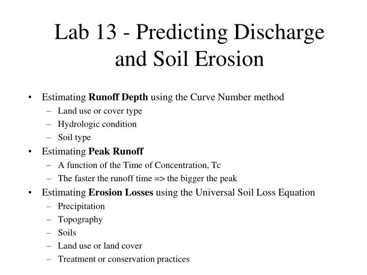
Lab 13 - Predicting Discharge and Soil Erosion. Estimating Runoff Depth using the Curve Number method Land use or cover type Hydrologic condition Soil type Estimating Peak Runoff A function of the Time of Concentration, Tc The faster the runoff time => the bigger the peak

E N D
Lab 13 - Predicting Discharge and Soil Erosion • Estimating Runoff Depth using the Curve Number method • Land use or cover type • Hydrologic condition • Soil type • Estimating Peak Runoff • A function of the Time of Concentration, Tc • The faster the runoff time => the bigger the peak • Estimating Erosion Losses using the Universal Soil Loss Equation • Precipitation • Topography • Soils • Land use or land cover • Treatment or conservation practices
Peak Discharge • Qp = Up · A · Q • Qp is peak runoff (L/s) • Up is unit peak (L/s/ha/mm) • a function of Tc • Tc is the time of concentration, or the time for water to runoff of the watershed • the faster the runoff time, the bigger the peak • A is watershed area (ha) • Q is runoff depth (mm) • From the curve number method
Universal Soil Loss Equation • A = R · K · LS · C · P • A is soil loss in tons per acre per year • R is rainfall erosivity factor • K is soil erodibility factor • LS is length-slope (topographic) factor • C is the land use or land cover factor • P is the treatment or conservation practices factor