Download
1 / 9
110 likes | 335 Views
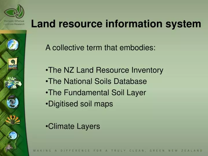
Land resource information system. A collective term that embodies: The NZ Land Resource Inventory The National Soils Database The Fundamental Soil Layer Digitised soil maps Climate Layers. Rock - Soil - Slope. Erosion - Vegetation. LUC. NZ Land Resource Inventory. Physiographic units

E N D
Land resource information system A collective term that embodies: The NZ Land Resource Inventory The National Soils Database The Fundamental Soil Layer Digitised soil maps Climate Layers
Rock - Soil - Slope Erosion - Vegetation LUC NZ Land Resource Inventory Physiographic units Single polygon set – multiple attributes Rock type Surface rock Underlying rock 1st Ed 1973-79 1:63,360 scale 90,000 polygons MMU 40ha Digital / 320 maps Soil code Soil survey 2nd Ed 1982-98 (20%) 1:50,000 scale 100,000 polygons MMU 10ha Digital LUC Unit Potential erosion P radiata site index Stock Carrying Capacity
NZ National Soils Database New Zealand, Antarctic & Pacific >1500 soil samples Point – multiple attributes Analytical Notes (e.g. taxonomy) Moisture retention (e.g. water %) Horizon data (e.g. colour) Analytical Method (e.g. Ph-H2O) Soil Pit Site Description (e.g. locality) Sample Index (e.g. sample No.) XRF Analyses (e.g. lead ppm) Chemistry (e.g. carbon %) Mineralogy (e.g. mica %) Particle Size (e.g. fine clay %)
NZ Fundamental Soil Layer Physiographic units Single polygon set – multiple attributes pH Salinity CEC Carbon P retention Gravel content Rock & boulders Depth Drainage Available water Macroporosity 1st Ed 1999 1:63,360 /1:50,000 scale 100,000 NZLRI polygons MMU 10ha Digital Soil survey & code Soil series, type, phase Soil set & genetic group NZ Soil Classification 2nd and successive editions plan to incorporate detailed soil maps and soil models.
Digital soil maps Polygon data – multiple attributes • Numerous • But not geographically comprehensive • 1:5,000 – 1:100,000 scale • Generally better soil data than NZLRI • Digital, not all surveys published as maps
NZ Monthly Climate Layers Derived from 100m DEM coupled with a thin-plate spline surface fitted to meteorological station data from 1950-1980 Mean average daily air temperature Mean max daily air temperature Mean min daily air temperature Earth temp normals (10cm depth) Mean daily rainfall Mean daily rainfall variability Mean 9am VPD Mean 9am humidity Mean daily solar radiation Mean av.daily wind speed ….. And more….
Climate Change Biodiversity Sustainable Natural Resource Use Peri-urban Antarctic Treaty Scientists – Landcare & other researchers Central, Regional & Local Government Land-based industries& consultants General Public Drivers & Users
Aspirations • To deliver: • raw data, • applications (e.g. environmental process models), • derived data (e.g. output from applications), • Efficiently and transparently
Proposed System Architecture Being implemented 2003-2004