Download
1 / 14
140 likes | 180 Views
Explore the geographic disadvantages faced by landlocked developing nations impacting their economic growth. Examples include Chile's elongated shape, Turkey's key trade position, and the Radcliffe Line's historical significance.

E N D
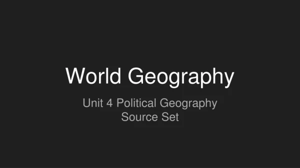
World Geography Unit 4 Political Geography Source Set
A Geographical Trap: Landlocked Developing Countries Geographical location also determine economic development. This infographic shows disadvantages of landlocked countries.
Example: Chile Elongated
Example: Indonesia Fragmented
Example: Russia, Canada Large land area
Example: South Africa and Lesotho Perforated
Example: Turkey Relative location: connecting trade routes/continents
Example: Switzerland Compact and landlocked
The Radcliffe Line was the boundary demarcation line between the Indian and Pakistani portions of the Punjab and Bengal provinces of British India. The demarcation line was published on 17 August 1947 upon the Partition of India. Today its western side still serves as the Indo-Pakistani border and the eastern side serves as the India-Bangladesh border. https://en.wikipedia.org/wiki/Radcliffe_Line
1. Dominion of Pakistan created on 14 August 1947. Became world's first Islamic Republic in 1956. New city of Islamabad replaced Karachi as capital in the mid 60s 2. British India was made up of provinces, princely states and state agencies. An independent Union of India was created on 15 August 1947 and renamed the Republic of India in 1950 3. Punjab was split in two. Majority Muslim western part became Pakistan's Punjab province; majority Sikh and Hindu eastern part became India's Punjab state 4.Bengal divided into Indian state of West Bengal and East Pakistan, which became East Bengal in 1956 and Bangladesh achieved independence after a civil war in 1971