Download
1 / 11
110 likes | 223 Views
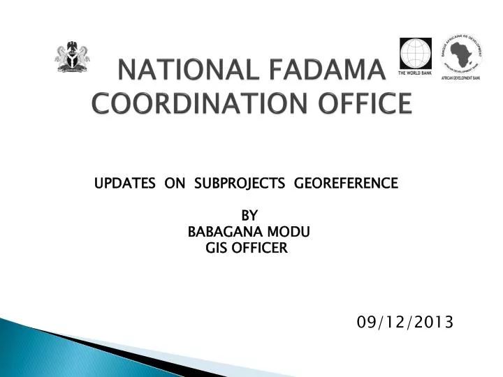
09/12/2013. NATIONAL FADAMA COORDINATION OFFICE. UPDATES ON SUBPROJECTS GEOREFERENCE BY BABAGANA MODU GIS OFFICER. BACKGROUND.

E N D
09/12/2013 NATIONAL FADAMA COORDINATION OFFICE UPDATES ON SUBPROJECTS GEOREFERENCE BY BABAGANA MODU GIS OFFICER
BACKGROUND • The Acronym GIS - Geographic information system. • Uses Technology that integrates the computer hardware, software and data for capturing, managing, analyzing and displaying all forms of geographically referenced information. • Georeferencing is the act of aligning geographic data to a known coordinate system, that could further allows you to make:- Query Analysis and View other geographical data.
OBJECTIVES TOWARD GEOREFERENCING • Collection and integration of subprojects Georeferenced data across 36 states and the FCT. • Mapping out of subprojects sites. • Assessment and evaluation of states based on subprojects executed and Georeferenced. • Creation of states geodatabase using the ArcGIS program, this can also shows picture of location and data in the form of map for easy virtualisation and understanding, it could be in form of:- a) Paper map b) Digital map or c) GIS map
RECENT ACHIEVEMENTS • Over 32,714 subprojects Georeferenced across the 36 states and FCT. • Ranking of the states base on accuracy of Georeferenced report. • Trained states E.Os on proper coordinates recordings using GPS receiver. • Trained states E.Os on proper Georeferenced data management on excel spreadsheet. • Produced fadama III subprojects maps of about 22 states.
THE COMMON COORDINATES SYSTEMS • Decimal degree format. Latitude 12.0563 Longitude 5.82866 • Degree minutes format. Latitude 110 28.126’ Longitude 100 37.641’ • Degree minutes seconds format. Latitude 5o 42’ 14.7” Longitude 7o 03’ 52.7” • Universal transverse Mercator (UTM) format. Latitude 1020119 Longitude: 600586
EXCEL SPREADSHEET TEMPLATE • Latitude and the longitude must be in different and adjacent columns. • Latitude comes first then longitude follows • Click to see example
CHALLENGES • Some States could not give us coordinates system in decimal degree format, as such their maps could not been produced.
RECOMMENDATION • States should Endeavour to give us the coordinates system in the decimal degree format. • States should know their latitude and the longitude ranges.