Download
1 / 2
20 likes | 175 Views
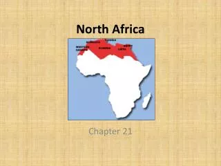
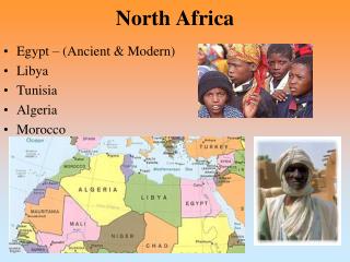
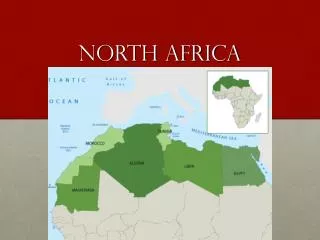
Pick 3 Countries: Algeria, Egypt Morocco, Libya, Tunisia, Western Sahara Website Resources http://www.worldatlas.com/aatlas/world.htm http://www.climate-zone.com/ Google earth, can use pictures. World Atlas North Africa. Include: Map, Climate, Land Feature Photos & 1 Interesting fact

E N D
Pick 3 Countries: Algeria, Egypt Morocco, Libya, Tunisia, Western Sahara Website Resources http://www.worldatlas.com/aatlas/world.htm http://www.climate-zone.com/ Google earth, can use pictures World Atlas North Africa Include: Map, Climate, Land Feature Photos & 1 Interesting fact Pick One: Place to Visit, Sport, Food Put in a website link for more information Use the color scheme of the country flag Your Name & Hour
Morocco COOL FACT: Morocco was the first country in North Africa to install a 3G network. Climate: Mediterranean, becoming more extreme in the interior http://www.visitmorocco.com/index.php/eng/Accueil Morocco has awesome places to rock climb, mountain biking, rafting, and skiing