Download
1 / 18
180 likes | 296 Views
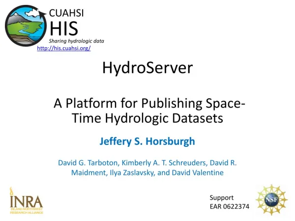
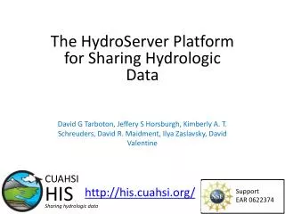
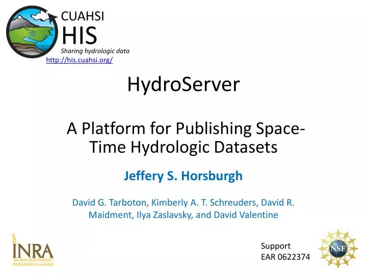
HydroServer A Platform for Publishing Space-Time Hydrologic Datasets. http://his.cuahsi.org/. Jeffery S. Horsburgh David G. Tarboton, Kimberly A. T. Schreuders, David R. Maidment, Ilya Zaslavsky, and David Valentine. CUAHSI HIS Sharing hydrologic data. Support EAR 0622374. CUAHSI HIS.

E N D
HydroServerA Platform for Publishing Space-Time Hydrologic Datasets http://his.cuahsi.org/ Jeffery S. Horsburgh David G. Tarboton, Kimberly A. T. Schreuders, David R. Maidment, Ilya Zaslavsky, and David Valentine CUAHSI HIS Sharing hydrologic data Support EAR 0622374
CUAHSI HIS The CUAHSI Hydrologic Information System (HIS) is an internet based system to support the sharing of hydrologic data. It is comprised of hydrologic databases and servers connected through web services as well as software for data publication, discovery and access. Data Discovery and Integration platform HIS Central Like search portals Google, Yahoo, Bing Metadata Search Metadata Services Service and data theme metadata Service registration Data carts Catalog harvesting Data Services HydroServer HydroDesktop Data Synthesis and Research platform Data Publication platform Water Data Services Spatial Data Services Like HTML Like web servers Like browsers
HydroServer Goals • A platform for publishing space-time hydrologic datasets that: • Provides local control of data • Makes data universally available • Is autonomous • HydroServer should be functional independent of the rest of HIS • Texas Hydrologic Information System • INRA Constellation of Experimental Watersheds
Point Observations Data Internet Applications Ongoing Data Collection Historical Data Files ODM Database GetSites GetSiteInfo GetVariableInfo GetValues GIS Data WaterML WaterOneFlow Web Service Data presentation, visualization, and analysis through Internet enabled applications HydroServer
HydroServer Regions • A region is an experimental watershed, research site, etc. for which data are published • Little Bear River Experimental Watershed • Reynolds Creek Experimental Watershed • T.W. Daniels Experimental Forest • Organizing concept for HydroServer • One or more ODM databases/WaterOneFlow services for a region • One or more spatial data services for a region
Capabilities Database Configuration Tool HydroServer Capabilities Database WaterOneFlow Services Spatial Services WaterOneFlow WaterOneFlow WaterOneFlow ODM ODM ODM ODM Databases and Web Services ArcGIS Server Spatial Data Services
Publication of Point Observations • Observations Data Model (ODM) • ODM Tools • ODM Data Loader • ODM Streaming Data Loader • ODM Controlled Vocabularies • WaterOneFlow web services • Data are transmitted in WaterML format
Publication of Spatial (GIS) Datasets • Publishing spatial datasets using ArcGIS Server • Using OGC standards that can be consumed by a number of GIS clients • WMS, WFS, WCS
Data Presentation Via a Map Interface • Internet Map Server built using ArcGIS • Web browser client • Combine spatial data and observational data • Launch data visualization tools • Based on a “Region” http://maps.usu.edu/map/
Data Preview, Visualization, and AnalysisTime Series Analyst • Web Browser Client • Multiple ODM Database Support • Variety of plot types • Descriptive statistics • Linked to the map application • Data preview and download http://icewater.usu.edu/tsa/
HydroServerWebsite • HydroServer home page • Observational data services • GIS data services • Online map • Time Series Analyst • Data Query and Download http://icewater.usu.edu
HydroServer Capabilities Database • Simple Windows application for creating metadata records in your database • Associating Regions with services and maps HydroServer Capabilities Database Configuration Tool
HydroServer Capabilities Web Service • Publish capabilities of each HydroServer • Published observational data services • Published spatial data services • Information transmitted in XML format • Supports automatic cataloging of available services at HIS Central • Makes HydroServers self describing
ICEWATER – A Regional HIS • ICEWATER – INRA Constellation of Experimental WATERsheds • Coalition of 8 universities • Point Observations • Stream gages • Water quality sampling • Weather stations • Soil moisture • Snow monitoring • Groundwater level/quality • Spatially Distributed Data • Land use/cover • Terrain • Hydrography http://icewater.inra.org MT WA ID OR WY AK NV CO UT CA AZ NM
Conclusions • HydroServer provides a self contained autonomous data publication system • Local control of data • Downloadable user (data publisher) configurable software stack that contains: • ODM and associated tools • WaterOneFlow web services • Geographic data sharing using WFS, WCS, WMS from ArcGIS server • Time Series Analyst • ArcGIS server based web map application • HydroServer Capabilities web service that publishes metadata about regions and services (observational and spatial)
How do I Create a HydroServer? • Get a Windows Server Machine with IIS and .Net Framework • Install Microsoft SQL Server • Install HydroServer Software from his.cuahsi.org • ODM and Utilities • WaterOneFlow web services • HydroServer Website, TSA, Map, Capabilities • Install ArcGIS • Create Services and Document them in Capabilities database • Register Services With HIS Central and register variables with the Ontology
HydroServer Future Considerations • Security and Data Access Control • More generic data model • Flexibility in attributes • Moving platforms • Additional data types • Tighter integration with Hydrologic Ontology • Enhanced spatial data sharing What features and functionality does HydroServerneed to better serve the community?
Questions? http://his.cuahsi.org/ CUAHSI HIS Sharing hydrologic data Support EAR 0622374