LCLUC Webinars
290 likes | 308 Views
Learn about NASA's LCLUC program focusing on land cover change, its impacts, and future scenarios. Join us to explore international collaborations, webinars, and data democracy efforts. Discover potential areas for partnership and collaboration.

LCLUC Webinars
E N D
Presentation Transcript
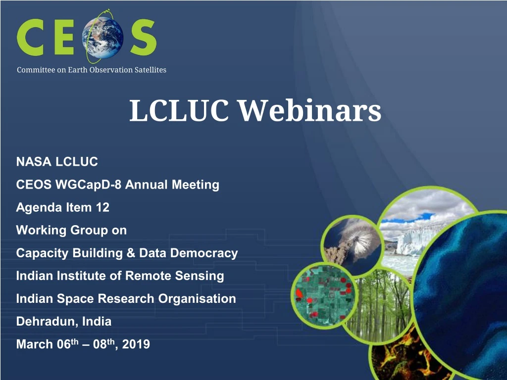
LCLUC Webinars Committee on Earth Observation Satellites • NASA LCLUC • CEOS WGCapD-8 Annual Meeting • Agenda Item 12 • Working Group on • Capacity Building & Data Democracy • Indian Institute of Remote Sensing • Indian Space Research Organisation • Dehradun, India • March 06th – 08th, 2019
Outline -Introduction to the NASA LCLUC Program -International and Regional Linkages -On-going SARI Projects -Webinars -Questions Addressed • Webinar topics • Who are you targeting? • What outcomes are you trying to achieve? • What best practices do you follow? • What evidence do you measure to show that capacity is built? • Who are your implementing partners? • What are the potential areas for collaboration and linkages?
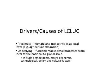
LC/LUC is an interdisciplinary scientific theme within NASA’s Earth Science Division. The ultimate vision of this program is to developthe capability for periodic global inventories of land cover and land use from space, to develop the scientific understanding and models necessary to simulate the processes taking place, and to evaluate the consequences of observed and predicted changes • Characterizing Land Cover • Quantifying LC Change • Drivers of LCLUC • Natural Drivers • Anthropogenic Drivers • Socio-Economic Drivers • Political Drivers • Landscape Modification • NASA Land Cover/Land Use Change • Program • Impacts of LCLUC • Carbon Cycle • Surface Hydrology • Atmosphere • Social Systems • Food, Energy, Water • Scenarios of Future Change
NASA LCLUC Program Management Dr. Garik Gutman, NASA Head Quarters -Program Manager Dr. Chris Justice, Prof. Dept. of Geographical Sciences, Univ. of Maryland College Park -Program Scientist Dr. Krishna Prasad Vadrevu, Remote Sensing Scientist, NASA Marshall Space Flight Center -Program Coordinator
LCLUCScienceTeamMeetings Washington:SpringBlossom 2007:Climate/Carbon 2008:JointCC&EFocusAreameeting 2009:LCLUCimpactsonclimate 2010:GLSLCLUCproducts 2011:15thAnniversary(review/update) 2011/9:Agriculture (JointCC&EFA) 2012:Urban 2013: Wetlands 2014:Urban 2015:EarlyCareerScientists(JointCC&EFA) 2016:20thAnniversary/IndustrialForests 2017:Mountains&MuSLI 2018:SARI-1:SouthAsia&MuSLI 2019:SARI-2:SEAsia&Caucasus InternationalRegional 2007/9:NEESPI/MAIRS Urumqi,China 2009/1:MAIRS KohnKaen,Thailand 2009/9:MAIRS/NEESPI Almaty,Kazakhstan 2010/8:NEESPI Tartu,Estonia 2011/11:MAIRS Hanoi,Vietnam 2013/1:MAIRS Coimbatore,India 2013/11:NEESPI/MAIRSTashkent,Uzbekistan 2014/10:NEESPI:Sopron,Hungary 2016/1:SARI/MAIRS:Yangon,Burma/Myanmar 2017/7:SARI/MAIRS: ChiangMai,Thailand 2018/5:SARI: Manila,Philippines 2019/8:SARI – Johor Bahru, Malaysia
LCLUC Program – • NASA Linkages
USGS • MergeofthenewlyselectedLandsat& MuSLIScienceTeams • LCLUC program funded - The Multi-Source Land Imaging (MuSLI) team is focused on developing innovative approaches using multiple sensor data for continental and global products. • USFS • GlobalForest Observations Initiative (GFOI) • USAID • SERVIR - LCLUC (meetings + trainings) • PEER(Partnershipsfor Enhanced EngagementinResearch) – LCLUC component • US External Linkages
INTERNATIONALREGIONALINITIATIVES • NorthernEurasia’sFutureInitiative(NEFI) • Since2000 LeadScientstNEFI PashaGroisman, NOAA/UCAR • MAIRSunderFutureAsia • Since2008 • -CoordinatedwithSARI LeadScientist MAIRS Jiaguo Qi,MSU • South/SoutheastAsiaResearchInitiative(SARI) • Pre-SARIProjects • LCLUC-2015:SouthAsia • LCLUC-2016:SoutheastAsia LeadScientist SARI KrishnaVadrevu,NASAMSFC
SARI – Need from regional scientists Jan-10-13th, 2013-Regional Science Meeting, Coimbatore Total participants =120 US – 18 researchers Nepal-3; Srilanka-2; Myanmar-1; Afghanistan, Myanmar, Bangladesh-1 each Pakistan, China invited but could not attend – Visa issues India – University Researchers, Government, Non-Government, NGO’s
Meeting Summary • NASA The Earth Observer
To develop an innovative research, education, and capacity building program involving state-of-the-art remote sensing, natural sciences, engineering and social sciences to enrich LCLUC science in South/Southeast Asia. • SARI - Goal
SARI Focuses on building research collaborations between the US and regional scientists • Meetings/Workshops help in identifying Needs and Priorities for the region (NASA LCLUC calls) • Training events are integral to SARI Events • (eg: 3-day training after the meeting) • SARI Priorities
LCLUC – A Global Program • LCLUC is a global program supported through regional partnerships toenhance • Regional scientists’ access to NASA assets • NASA scientists access to national data and facilitate field data collection • LCLUC is a catalyst for regional science initiatives through • Networks by leveraging national/local knowledge and resources and strengthening NASA research projects • Workshops focused on societal priorities and policy-relevant land-use science • LCLUC is a promoter of regional capacity building through • NASA data-use training • International data sharing
Webinars • Science meetings • Regional Meetings and Trainings • Special sessions (AGU, EARSeL, Other) • E-Newsletters • LCLUC websiteand Facebookpage • Education and Outreach
LCLUC Webinar 2014 - Urban Inter-Disciplinary Studies(IDS) • LCLUC Webinar 2015 – Agriculture, Urban • LCLUC Webinar 2016 - Forests, Water resources, Agriculture • LCLUC Webinar 2017 – Mountain Areas, Multi-Source Land Imaging (MuSLI) Projects and Synthesis • LCLUC Webinar 2018 – South/Southeast Asia Research Initiative • LCLUC Webinar 2019 – South/Southeast Asia Research Initiative • NASA LCLUC Webinars • Since 2014
What are the Webinar topics? • Who are you targeting? • What outcomes are you trying to achieve? • What best practices do you follow? • What evidence do you measure to show that capacity is built? • Who are your implementing partners? • What are the potential areas for collaboration and linkages? • Questions Addressed
Multi-Source Imaging of Seasonal Dynamics in land surface phenology combining Landsat- and Sentinel-2 • Togenerategap-filledtimeseriesofspectral vegetationindicesthat characterizetheentire seasonalcycle of landsurface phenologyatfixed timesteps • Sample Webinar Topics Mark Friedl, Boston U • Monitoring and Mapping the Area, Extent and Shifting Geographies of Industrial Forests in the Tropics • Science explaining how to map plantations of Eucalyptus, Rubber, Teak and Pines in tropics David Skole, Michigan State U • Advancing methods for global crop area estimation • How to employ stratified sampling using MODIS for crop type and very high resolution data to estimate cultivated area Matt Hansen, Univ. of Maryland College Park.
Towards Near Daily Monitoring of Inundated Areas of North America. combining Landsat- and Sentinel 1&2 • Multi-source fusion of optical and Radar data to map inundated areas, including lakes, streams, wetlands, episodically flooded areas • Sample Webinar Topics • Multi-source imaging of infrastructure and urban growth using Landsat, Sentinel and SRTM • Continuous Infrastructure Index development algorithm demo • Mapping 25-years of community forestry dynamics in the middle hills of Nepal • Rigorous Terrain Correction approach integrated with Landsat data for deriving forest cover in Nepal using Google Earth Engine - Demo
All interested in the latest LCLUC research • Email sent to the LCLUC Mailing list • Mailing list includes nearly 900-people; however, An average of 200-participants join our Webinars • PI’s, postdocs, grad students, regional researchers, facebook group • Weekly webinars by LCLUC PI’s (lasting for 1-2 months) generally during January/February of every year • Anyone can register for the mailing list • Who are you targeting?
Provide latest updates on the LCLUC research w.r.t. data/tools/science • Improve knowledge and educate people w.r.t. on-going LCLUC in different countries/regions of the world • Provide information on international / regional meetings/training/coordination efforts on-going on the region • PI’s present through WEBEX • 1-1.5 hours – Mostly in-depth science research (not training) • What outcomes are you trying to achieve?
Webinars are done through LCLUC Webex • Pre-presentation dry runs • PI’s are given enough time and asked to go slow and do in-depth presentation • Participants can ask any number of questions – Generally given enough time • Participants can also ask questions through Chat – Moderator reads those questions • Webinars are recorded and posted online • All presentation material posted online • What best practices do you follow?
Not through Webinars; LCLUC program does it through hands-on training in different countries • Webinars are mostly to update the participants on the latest on-going research/science in LCLUC studies • What evidence do you measure to show that capacity is built?
LCLUC Webinars are solely done by the LCLUC program-funded PI’s • LCLUC program approaches PI’s and ask them to do Webinars • Implementing Partners
Can include international / WGCapD LCLUC speakers in the Webinars that we organize • LCLUC program considering options to include training modules • Invite WGCapD members to join the LCLUC mailing list • Connect LCLUC mailing list to other WGCapD activities including MOOC’s • Open to the other collaborative options • What are the potential areas for collaboration and linkages?
Thank you for your attention Questions?