Download
1 / 17
170 likes | 312 Views
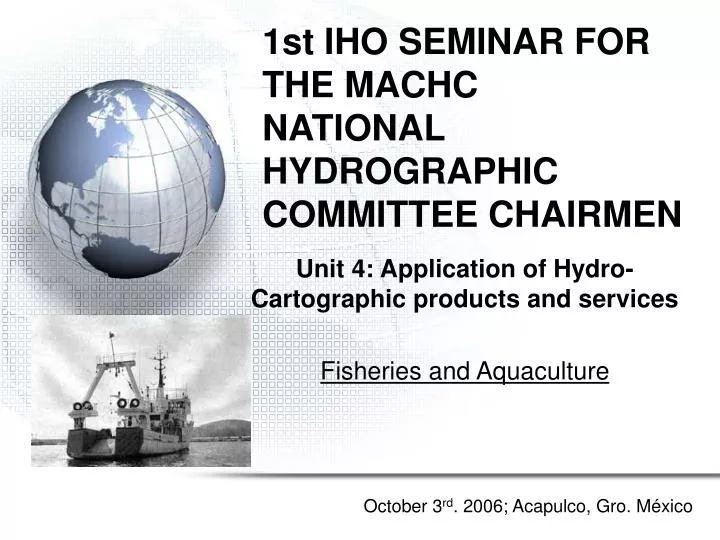
1st IHO SEMINAR FOR THE MACHC NATIONAL HYDROGRAPHIC COMMITTEE CHAIRMEN . Unit 4: Application of Hydro-Cartographic products and services Fisheries and Aquaculture. October 3 rd . 2006; Acapulco, Gro. México. México’s waters. EEZ: 2,946,825 km ². Species by State.

E N D
1st IHO SEMINAR FOR THE MACHCNATIONAL HYDROGRAPHIC COMMITTEE CHAIRMEN Unit 4: Application of Hydro-Cartographic products and services Fisheries and Aquaculture October 3rd. 2006; Acapulco, Gro. México
México’s waters EEZ: 2,946,825 km²
Species by State 17 States with coastal waters tuna shark mullet prawn crab oyster clam
Fisheries and Aquaculture in Mexico • Fisheries in México in a period of 22 years have had fluctuations with two maximums of 1,565,465 t and 1,570,586 t in 1981 and 1997. Fishing Aquaculture Volume of production in live weight
http://omega.ilce.edu.mx:3000/sites/ciencia/volumen2/ciencia3/081/htm/sec_6.htmhttp://omega.ilce.edu.mx:3000/sites/ciencia/volumen2/ciencia3/081/htm/sec_6.htm
Aquaculture production in Mexico • México has more than 4K units of production dedicated to rural and commercial aquiculture with a total area of 250,860 hectares. • Some of the most productive species cultivated are black bullhead (21%), oyster (23.9%) and carp (14.1%) (From INEGI statistics). • Between banded tilapia, carp, trout, oyster and shrimp the maximum production was 190,669 t in 1990 (SEPESCA 1990) • Shrimp is the most important contributor with more than 33,486 t in 1998
Fishing tools • Floating artefacts used for marine farms: • floating fish cages, • submerged or semi-submerged fish cages, • floating flat boats for molluscs, • cultivation lines for molluscs, • fixed platforms, etc. Normally, these facilities are anchored at 20-50 metres deep and not farther than 2-3 miles off the coast. They may be a potential danger to coastal navigation and maritime traffic.
Nautical Cartography must display those areas where fishing activities are developed. • Decreasing potential accidents or property damage.
Cartographic Symbols used for Fisheries and Aquaculture K Rocks, Wrecks and Obstructions Wood poles or fence delimiting fishing areas Fishing traps area, tuna nets area Fish Haven Fish Haven with known minimum depth Oysters area
N Restricted Areas Fishing activity is prohibited N Limits Fishing zones limit
Cylindrical Castle Pole Conical Spherical IALA Lights and Marks • The meaning of Diurnal marks depend on: color, shape and top mark. • Basic shapes for buoys: - Two cones for cardinal marks - Single cone to starboard marks - Single cylinder for port side marks - Two spheres to isolated danger marks - Single sphere to navigable waters marks - X mark to special marks
IALA Lights and Marks • Night marks: Colors: red and green for lateral marks; White to cardinal marks, navigable waters and isolated dangers; Yellow only for special marks • Fixed and flashing lights. • Special marks are normaly used for aquaculture • Cardinal marks are used for fishing boats of “almadraba”
IALA Lights and Marks Cardinal marks: They are used to signal dangers at sea or dangerous obstructions of considerable size, here normally used to fishing boats of “tunny net”. They don’t have a special shape, normally castle or pole buoys painted with horizontal bands black and yellow with top marks of two black cones. Lights are quick white flashing lights.
IALA Lights and Marks Special marks: These marks are not intended as aids to navigation. They indicate special zones. They are used to signal marine farms and aquaculture installed at sea (cages, boxes, lines, etc.)
Take home message • Hydrography is vital to position fish havens, marine farms and permanent fishing facilities at sea which will be shown in the nautical charts. • Cartography helps to display on charts in an appropriate way (symbols) those permanent facilities used on fisheries. • A Hydrographic Office is fundamental to participate in the regulation about the use and installation of those marks and lights used for fisheries and aquaculture.
Thank you Questions?