Download
1 / 19
190 likes | 332 Views
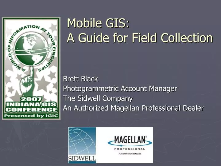
Mobile GIS: A Guide for Field Collection. Brett Black Photogrammetric Account Manager The Sidwell Company An Authorized Magellan Professional Dealer. Overview. Company Background How to Determine GPS Equipment Needs Know Your GPS Receiver – MobileMapper CE Data Collection Software

E N D
Mobile GIS:A Guide for Field Collection Brett Black Photogrammetric Account Manager The Sidwell Company An Authorized Magellan Professional Dealer
Overview • Company Background • How to Determine GPS Equipment Needs • Know Your GPS Receiver – MobileMapper CE • Data Collection Software • Field Collection – Proper Methodology • Sources of Error • Improving the Process • Conclusion
Company Background • 100 Employees/Owners • Full Service Firm • Aerial Photography • Photogrammetry • GIS • GPS Equipment • Private and Public Sector Clientele
GPS Equipment • Determining Equipment Needs • Accuracy vs. Budget • Features • Accessories • Work Environment • Portability & Ruggedness
GPS Equipment • Accuracy • Real-time vs. Post-Processed MMCE Real-time - SBAS MMCE Real-time – MobileMapper Beacon
GPS Equipment • Accuracy • Real-time vs. Post-Processed NTRIP & Direct IP Corrections Bluetooth TCP/IP
GPS Equipment • Accuracy • Real-time vs. Post-Processed MMCE w/GPSDifferential for ArcPad & Accessories MobileMapper Office – Post-Processing Software
GPS Equipment • Accuracy vs. Budget • Increase Accuracy = Increase Price *Per month
GPS Equipment • Features • Flexible OS • Bluetooth Connectivity • Removable Memory • Removable Battery • Color Touch Screen • External Alphanumeric Keypad
GPS Equipment • Environment • Surroundings • Open Sky • Urban Canyon • Dense Canopy
GPS Equipment • Accessories • MobileMapper Beacon • Precision External Antenna • Extra Batteries • Dual Slot Battery Charger • Aluminum Pole
GPS Equipment • Portability & Ruggedness • Compact • Lightweight • Limited Cables • Hardened Shell • Waterproof • Weather
GPS Antenna External Antenna Input SD Card Slot Touch Screen ON/OFF Key Microphone Power LED Charging LED Navigation ESC Key ENTER Key Alphanumeric Keypad MobileMapper CE
Data Collection Software • ESRI ArcPad • Bundled with MMCE • TDS Field Solo • Carlson GIS-CE • Gemini GemGIS
Field Collection – Proper Methodology • Mission Planning • Optimize SV’s & Minimize PDOP (Position Dilution Of Precision) • Weather • Lightning • Solar Flares • Observation Time • Observation Technique
Sources of Error • Multi-Path • Bodies of Water • Trees • Buildings • Reflective Surfaces • Cell Phones & Radio • Human Error • Observation Technique
Improve the Process • Streamline Data Collection • Attribute Forms • Applications • Tools
Conclusion • Determine Accuracy Requirements • Know Your Receiver & Software • Pick Software that Fits YOUR Needs • Know What Can Effect Your Data • Streamline Data Collection
Questions? Brett Black Photogrammetric Account Manager The Sidwell Company 675 Sidwell Court St. Charles, Illinois 60174 Direct: 630-549-1121 Email: bblack@sidwellco.com