Download
1 / 14
140 likes | 278 Views
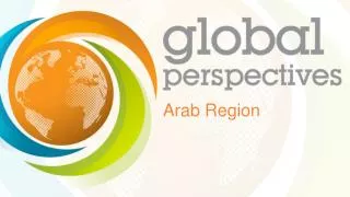
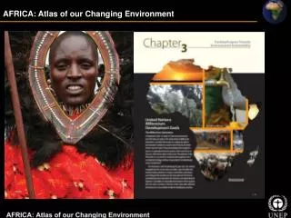
OFFICIAL LAUNCH OF THE ARAB REGION ATLAS OF OUR CHANGING ENVIRONMENT. ATLAS of our changing environment Series.

E N D
OFFICIAL LAUNCH OF THE ARAB REGION ATLAS OF OUR CHANGING ENVIRONMENT
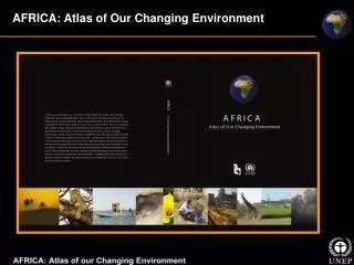
ATLAS of our changing environment Series • The Atlas of Our Changing Environmentpublicationsuse a combination of ground photographs, current and historical satellite images and narrative based on extensive scientific evidence to illustrate how humans have altered their surroundings and continue to make changes to the environment • Demonstrates the importance of developing, harnessing and sharing technologies that help provide deeper understanding of the dynamics of environmental change • Words and pictures serve as a vivid reminder that this planet is our only current home, and that sound policy decisions and positive actions by societies and individuals are needed to sustain the Earth and the well-being of its inhabitants
COMING SOON: • YouTube video • E-book
Arab Region Atlas of Our Changing Environment 67 hotspots in 22 countries, illustrated through ~140 satellite images • Some of the changes illustrated: • Rapid urbanization • Coastal development • Expansion of agriculture • Impacts of volcanic eruptions • Deforestation
What is a hotspot? • A significant area of Earth’s surface that is susceptible to slow-onset or rapid environmental change, positive or negitive • Can be explained using satellite and aerial imagery, ground photos and descriptive text • Identified by scanning imagery, reviewing literature, local knowledge, expert consultation and current events
UNEP Environmental Change Hotspots • More than 270 hotspots identified • Spanning all 7 continents • In more than 100 countries • Four themes: • Climate Change and Atmosphere • Disasters and Conflicts • Ecosystems • Resource Extraction • Information is accessible in a variety of ways
Access through Google Mapsinterface • Hosts the 270+ hotspots for global access • Hotspots identified from atlases, reports and GEAS bulletins • Contains satellite & aerial imagery, ground photos and descriptive text • Dynamically updated through the use of an administrative tool developed by UNEP/GRID-Sioux Falls http://na.unep.net/google.php
Access through Google Earth Layer • Featuring more than 200 hotspots from the Atlas of Our Changing Environment Series • Downloadable KML to view in the Google Earth and Google Earth Pro software programs • View in Google Earth under “Global Awareness layer”