Download
1 / 4
40 likes | 141 Views
Detailed plan for ground radiometer experiment in the field using a mobile laboratory with computer control and real-time monitoring. Includes instrument installation, calibration, and data collection.

E N D
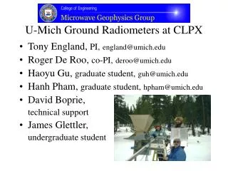
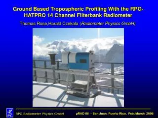
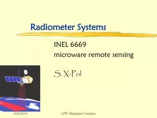
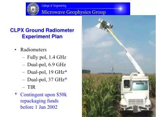
CLPX Ground Radiometer Experiment Plan • Radiometers • Fully pol, 1.4 GHz • Dual-pol, 6.9 GHz • Dual-pol, 19 GHz* • Dual-pol, 37 GHz* • TIR * Contingent upon $50k repackaging funds before 1 Jan 2002
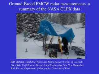
Microwave Geophysics Mobile Laboratory • Computer control • Real time • Autonomous • Hydraulic Arm • 600 lb capacity • 35’ height • Power • 7.5 kW diesel • External 120 VAC • Environmental control • Diesel heater • Air conditioned • Truck – diesel, < 25k GVW
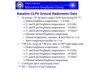
Baseline Ground Radiometer Experiment Plan At prepared LSOS site: • Fall, 2002, prior to snow cover and soil freeze-up • Install thermistor probes – +1 to -1 meter in 2 locations • Install TDR & heat flow probes – 0 to -1 meter in 2 locations • 1 week before IFC* • Move MG Mobile Lab into field site • Test and calibrate instruments • IFC* observations • Continuous – 30 minute intervals – 550 AMSR incidence angle • Near daily – 7 a.m., 12 p.m., 5 p.m. – 0-1800 nadir angle scans • Near daily – 7 a.m. – sky & ambient cal • Quick look data - available daily • IFC* + 2 Months – calibrated data available on server and to NSIDC * IFC - Intensive Field Campaign
Augmented Ground Radiometer Experiment Plan Baseline Plan plus: • Objective – Provide context for modeling the period of IFC* • Fall, 2002, prior to snow cover and soil freeze-up • Install thermistor probes – +1 to -1 meter in 2 locations • Install TDR & heat flow probes – 0 to -1 meter in 2 locations • Move MG Mobile Lab into field site • Test and calibrate instruments • Pre-IFC* observations – 4 days each month – Sept’02 through Jan’03 • Continuous – 30 minute intervals – 550 AMSR incidence angle • Daily – 7 a.m., 12 p.m., 5 p.m. – 0-1800 nadir angle scans • Daily – 7 a.m. – sky & ambient cal • Calibrated data available on server and to NSIDC prior to IFC* • cost – $24.2k assuming loca1 assistance of 1 cost-free unskilled person * IFC - Intensive Field Campaign