Download
1 / 12
140 likes | 277 Views
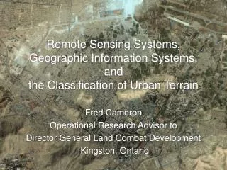
Remote Sensing and Geographic Information Systems. An introduction to the world of mapping your watershed!. What is remote sensing?.

E N D
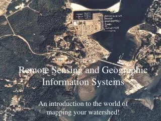
Remote Sensing and Geographic Information Systems An introduction to the world of mapping your watershed!
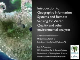
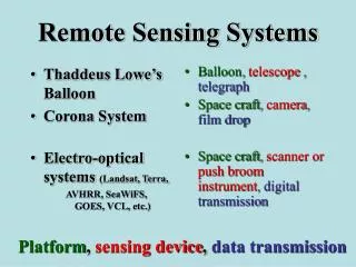
What is remote sensing? • Remote sensing is the use of data collected by precision instruments such as cameras, probes, and sensors that are not being operated directly by a technician in the field
Why is remote sensing important for us? • The world is such a vast place that the ability to understand how ecosystems like an estuary or watershed work require scientists to seek and use large data sets to interpret changes
What are orthographic photos? • Orthographic photos are aerial photos taken at an absolute right angle to the earth’s surface. • This type of photo is useful because it can be used for exact measurement, and accurate interpretation of many features of the landscape and waterways. • Sets taken overtime help to track changes in the landscape
What is GIS? • GIS (Geographic Information System) is a computer-based mapping tool that allows users to manipulate large sets of data as layers or themes. • These layers appear as graphics on a base layer like a map or orthographic aerial photo. • Layers can be viewed together or separately depending on the information a viewer is looking for
Mapping in the classroom • Google Earth & Maps allows viewers to get a similar view from anywhere in the world! • We can study the local watershed by identifying waterways, habitat types and land uses from Google images. • Mapping in a GIS fashion will provide a visual way to easily analyze the surrounding watershed. • A ground truth will verify some of our work