Download
1 / 35
350 likes | 519 Views
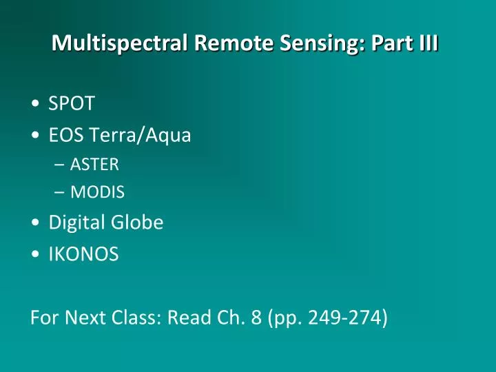
SPOT EOS Terra/Aqua ASTER MODIS Digital Globe IKONOS For Next Class: Read Ch. 8 (pp. 249-274). Multispectral Remote Sensing: Part III. 14 Years of Weather Radar. http://www.youtube.com/watch?feature=player_embedded&v=OIaIIKCjPzc.

E N D
SPOT EOS Terra/Aqua ASTER MODIS Digital Globe IKONOS For Next Class: Read Ch. 8 (pp. 249-274) Multispectral Remote Sensing: Part III
14 Years of Weather Radar • http://www.youtube.com/watch?feature=player_embedded&v=OIaIIKCjPzc
What are the spatial, spectral, radiometric, and temporal resolutions of SPOT 5?
SPOT 1-5 Panchromatic and Multispectral Mode Improved spatial resolution compared with Landsat Off-nadir viewing capabilities are extremely helpful Can point the sensor “off-nadir” to obtain stereoscopic imagery http://www.spot.com/html/SICORP/_401_.php Systeme por l’Observation de la Terre (SPOT) Systeme Por l’Observation de la Terre (SPOT)
SPOT Satellite System Components Courtesy of SPOT Image, Inc. Jensen, 2000
SPOT Off -NADIR View Jensen, 2000
SPOT Off -NADIR Revisit Capabilities Jensen, 2000
SPOT Stereoscopic Viewing Capabilities Jensen, 2000
Comparison of the Detail of 30 x 30 m Landsat TM Band 3 Data and SPOT 10 x 10 m Panchromatic Data of Charleston, SC Courtesy of SPOT Image, Inc. Jensen, 2000
Geographic Coverage of the SPOT HRV and Landsat Thematic Mapper Remote Sensing Systems Jensen, 2000
Portion of the First Global 10-day Synthesis Image Produced Using the SPOT Vegetation Sensor May 11-20, 1998 Courtesy of SPOT Image, Inc. Jensen, 2000
Earth Observing System - Terra Instruments ASTER - Advanced Spaceborne Thermal Emission and Reflection Radiometer CERES - Clouds and the Earth’s Radiant Energy System MISR - Multi-angle Imaging Spectroradiometer MODIS - Moderate-resolution Imaging Spectroradiometer MOPITT - Measurement of Pollution in the Troposphere Jensen, 2000
Earth Observing System Measurements Discipline Measurement EOS-AM Instruments Atmosphere Cloud Properties MODIS, MISR, ASTER Radiative Energy Fluxes CERES, MODIS, MISR Precipitation Tropospheric Chemistry MOPITT Stratospheric Chemistry Aerosol Properties MISR, MODIS Atmospheric Temperature MODIS Atmospheric Humidity MODIS Lightning Jensen, 2000
Earth Observing System Measurements Discipline Measurement EOS-AM Instruments Land Land Cover/Land Use Change MODIS, MISR, ASTER Vegetation Dynamics MODIS, MISR, ASTER Surface Temperature MODIS, ASTER Fire Occurrence MODIS, ASTER Volcanic Effects MODIS, MISR, ASTER Surface Wetness Jensen, 2000
Earth Observing System Measurements Discipline Measurement EOS-AM Instruments Ocean Surface Temperature MODIS Phytoplankton MODIS, MISR Dissolved Organic Matter MODIS, MISR Surface Wind Fields Ocean Surface Topography Cryosphere Land Ice Change ASTER Sea Ice MODIS, ASTER Snow Cover MODIS, ASTER Solar Radiation Total Solar Radiation Ultraviolet Spectral Irradiance
What are the spatial, spectral, radiometric, and temporal resolutions of MODIS products?
MODIS • Moderate Resolution Imaging Spectroradiometer • On board EOS Terra and Aqua satellites • Technical Specifications: • http://modis.gsfc.nasa.gov/about/specifications.php MODIS - Moderate-resolution Imaging Spectroradiometer Spectral Range 0.4 - 14.4 µm Spectral Coverage+55˚, 2330 km swath Spatial Resolution 250 m (2 bands), 500 m (5 bands), 1000 m (29 bands)
A Comparison of Satellite-Derived Snow Maps with a Focus on Ephemeral Snow in North Carolina Dorothy K. Hall1 James L. Foster1 Christopher M. Fuhrmann2 L. Baker Perry3 George A. Riggs4 David A. Robinson5 1 NASA Goddard Space Flight Center dorothy.k.hall@nasa.gov 2 NOAA-Southeast Regional Climate Center, Department of Geography University of North Carolina at Chapel Hill 3 Department of Geography and Planning, Appalachian State University 4 Science System and Applications, Inc. 5 Department of Geography, Rutgers University 67th Annual Eastern Snow Conference 8 – 10 June 2010 Hancock, Mass.
Case Study: 12 – 14 February 2010 Aqua MODIS true-color image Bands 1, 4, 3 14 February 2010 The snow fell in a winter storm that moved across the southern U.S. from Texas to the Atlantic Coast, on February 12-13; Harkers Island received 22 cm of snow. The 2009 – 10 snow season was severe for the East Coast, even as far south as North Carolina Virginia * Raleigh North Carolina Outer Banks Harkers Island South Carolina wwp.GreenwichMeanTime.com NASA / Earth Observatory
Overview of the 2009-2010 Snow season in the southern Appalachian mountains Baker Perry1, David Hotz2a, Stephen Keighton2b, Charles Konrad3, Laurence Lee2c, Greg Dobson4, Dorothy Hall5 1Department of Geography and Planning, Appalachian State University 2National Weather Service (aMRX, TN; bRNK, VA; cGSP, SC) 3Department of Geography & SERCC, University of North Carolina 4NEMAC, University of North Carolina at Asheville 5NASA Goddard Space Flight Center Eastern Snow Conference Jiminy Peak, MA June 10, 2010
FRACTIONAL SNOW COVER (%) 20 1 40 50 60 70 80 90 100 Cloud Water Land MODIS Fractional Snow Cover Data Boone Boone TN TN NC NC Asheville Asheville Nearly continuous snow cover persisted across much of the NC Mountains from mid-December to early March (early December to early April at highest elevations) 24 Dec 2009 19 Feb 2010 Boone TN NC Asheville 4 Mar 2010
What are the spatial, spectral, radiometric, and temporal resolutions of ASTER?
ASTER ASTER - Advanced Spaceborne Thermal Emission and Reflection Radiometer Spectral Range VNIR 0.4 - 14.4 mm, SWIR 1.6 - 2.5 mm, TIR 8 - 12 mm Spatial Resolution 15 m (VNIR : 3 bands) 30 m (SWIR: 6 bands) 90 m (TIR: 5 bands) Jensen, 2000
Imaging instrument onboard the EOS Terra satellite 15 x 15 m spatial resolution is a real plus Capable of backward viewing on Band 3 for stereoscopic imaging and DEM creation Impressive spectral resolution ranging from visible to thermal bands 8-bit radiometric resolution http://asterweb.jpl.nasa.gov/ ASTER Advanced Spaceborne Thermal Emission and Reflection Radiometer (ASTER)
IKONOS Space Imaging IKONOS
IKONOS Panchromatic Images of Washington, DC Jensen, 2000 1 x 1 m spatial resolution
IKONOS Imagery of Columbia, SC Obtained on October 28, 2000 Panchromatic 1 x 1 m Pan-sharpened multispectral 4 x 4 m