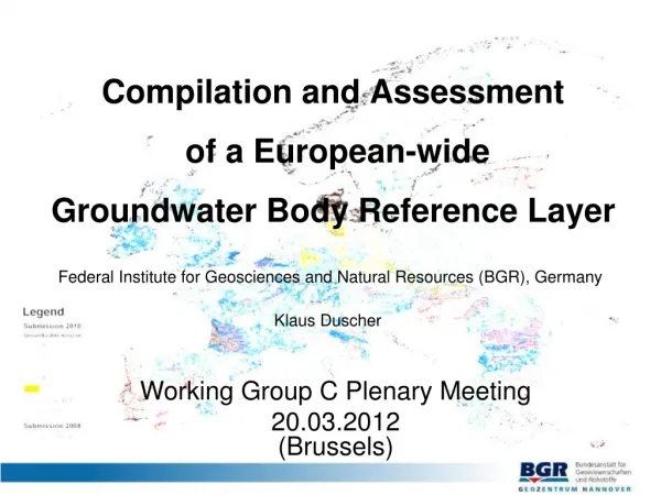
Compilation and Assessment of a European-wide Groundwater Body Reference Layer
This document discusses the compilation and assessment of a European-wide groundwater body reference layer, focusing on methodology, quality assurance issues, horizon assignment, and GWB layer revision. It includes case studies, data evaluation, workshop findings, and recommendations for improvement, covering topics such as unique GWB codes, size fragmentation, spatial data quality, technical deficits, and completeness of attribute entries.

Compilation and Assessment of a European-wide Groundwater Body Reference Layer
E N D
Presentation Transcript
Compilation and Assessment of a European-wideGroundwater Body Reference Layer Federal Institute for Geosciences and Natural Resources (BGR), Germany Klaus Duscher Working Group C Plenary Meeting 20.03.2012(Brussels)
GWB submission status GWB reference layer compilation GWB quality assurance issues GWB reference layer revision Case study: Horizon assignment Conclusions Topics
GWB Layer Compilation - Methodology 12590 polygons from RBMP data merged to one shape for each horizon 1 to 5 plus one shape of polygons without allocated horizons 6 shapes with attributes GWB key and Horizon Merge of 531 polygons of countries providing only WFD article 5 data without vertical stratification 1 shape with GWB key 29 polygons of Non MS (CH) assigned to horizon 1 1 shape with GWB key Compilation of 8 individually portrayable layers
GWB Reference Layer – Survey Map Remark: Data evaluation comprises exclusively WFD article 13 data of EU member states
GWB Layer Assessment Report on compilation of GWB map with description of quality assurance issues in general Documents describing selected QA issues per MS including examples No complete list Workshop Dec 2011 organised by EuroGeoSurveys/BGR QA issues in terms of generating a GWB reference layer are no deficits concerning WFD obligations Relevance of a coherent European-wide mapping of the WFD GW survey results BGR is mandated to generate a GWB reference layer by ETC/ICM
GWB Reference Layer – Assessment Results WFD article 13 reporting not complete Missing data of MS Lack of entries for GWB attributes (XML data) Data inconsistency Spatial data e.g. Topological and geometric errors Attribute data e. g. Transboundary GWBs Mismatch of spatial (polygons) and attribute (XML) data Demand of coordination between MS GWB outlines not adjusted along country borders Harmonisation of GWB delineation methodology (e. g. Horizon) Replenishment and review of data for further GWB Layer developments is required
GWB Layer Revision • Improvement of current GWB reference layer by a coordinated revising of following issues: • Unique GWB code • GWB size and amount • GWB multipart fragmentation • Generalisation of GWB outline / details • ERM border topology • Topology and geometry • Unique GWB position • Attribute data quality • Interpreting Horizons
Revision – Size / Amount • 46% of all polygons (5831) less than 5 km2 and • 20% of all polygons (about 2500) less than 1 km2 • Majority of small GWBs in FI and SE • Feasibility of monitoring a large amount of small GWBs? • GWBs of small size may be • aggregated / • generalised
Revision – Multipart fragmentation Multipart polygon consisting of - 1175 elements- 433 elements • Generalisation
Spatial Data – Border Topology GWB polygon outline do not match ERM country border overlaying GWBs along border
Revision – Spatial data quality Cleaning of topological inconsistent spatial data
Revision – Technical Deficits Fractional GWB Multiple fractional GWBs Geometrical error
Spatial Data – Uncovered Areas GWBs do not cover entire territory Small GWBs or no GW resources or reporting deficit? SE ES IT SK
Completeness of GWB Attribute Entries Six mandatory attributes marked as blue rows, reporting of 15 remaining characteristics related to GWBs is optional Insufficient entries for evaluation of several attributes (< 50 % of total datasets - red coloured)
Transboundary GWBs Inconsistent, because occurrence only on certain bordersand in some cases only on one side of a border
GWB Delineation – Vertical positioning 3-dimensional delineation • Position in vertical aquifer sequence • Horizon Layer Assignment • Thickness • Depth • Inclination
Horizon assignment – Current status Horizon allocation changes along borders
Revision – GWB unique vertical position GWB FRFG080 consisting of several polygons in several horizons GWBs in horizon 1 overlying each other • Assessment problems preferable structure • GWB confined to a single horizon • No overlying GWBs in same horizon
GIS Guidance – Horizon concepts • Horizons simply numbered from surface • Multiple 4th horizon for deep GW resources Current GIS Guidance Document 22, App. 13.3, p.29 (2009) Uppermost GWB always assigned horizon 1? • Hydrogeological horizon definition • Main layer is second horizon Older draft version GIS Guidance Document 22, App. 13.3, p.21 Concept for comparable assignment in different MS? Majority of GWB allocated in horizon 1 / 2
French GWB Horizon Concept • Systematic assignment of upperGWB to horizon 1 • Upper GWB changes from horizon 1 to 2 in areas with overlying GWB (see GWB B below) • GWB is split in several • spatial elements in case of changing horizons • Complicated GWB structure with several polygons in different horizons • Implementation of current guidance GWB FRHG 310 GWB FRFG 080
Horizon assignment in CZ / SK Overlay GWBs horizon 1 - IHME GWBs horizon 2 - IHME Implementation of older draft guidance
Horizon allocation changes along borders Horizon assignment – Current status
WISE – Groundwater Viewer * • Outline of GWBs in a single or several horizons • Qualitative and quantitative GWB status • Trend und trend reversal • Basic informations (GWB name, code, area,..) • Display of GWBs in a scale over 1 : 2,500,000 • Scales below 1 : 2,500,000 show aggregated values per RBD or MS!! * http://www.eea.europa.eu/themes/water/interactive/soe-wfd/wfd-gw/
GWBs of DE, AT, PL in section horizon number + 1 Horizon assignment – Solution proposal
First RBMP reporting of GWBs is not complete yet and process of GWB qualification is ongoing Spatial data of GWBs from WFD article 13 or 5 for all MS Current quality of GWB spatial data not sufficient for use as reference layer More precise guidance preferable Harmonisation between MS and revision requested QA issues may be optimised with reasonable expenditure Improvement of data quality can be expected with next RBMP Mutual efforts required to achieve a GWB reference layer for use in GIS analysis Summary