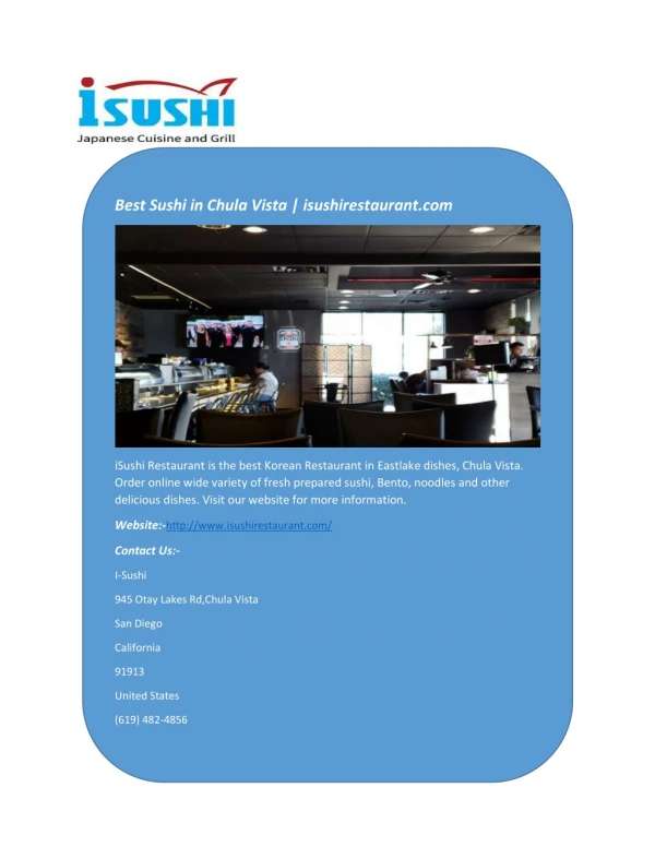
Download
1 / 11
110 likes | 123 Views
City of Chula Vista using query layers to map field work. Bob Blackwelder City of Chula Vista. Challenges:. Combine all work orders (regardless of asset type) into a single point feature class. Lack of consistency in how work entered into Work Management System (LuCity).

E N D
City of Chula Vistausing query layers to map field work Bob Blackwelder City of Chula Vista
Challenges: • Combine all work orders (regardless of asset type) into a single point feature class. • Lack of consistency in how work entered into Work Management System (LuCity). • Point feature class had to be dynamic – data constantly changing.
Solution: • Decided to look at the new ‘geometry’ spatial type and spatial functions available to SQL-Server 2008. • Query layer: ESRI - A Query Layer is just a layer or stand alone table in ArcGIS that is defined by a SQL query. • “Write a query – get a layer.”