Download
1 / 21
210 likes | 229 Views
Explore Georgia's diverse climate patterns, from summer heat to winter snow, prevailing winds, natural hazards like tornadoes, hurricanes, and the impact of air and ocean currents on the state's weather. Learn about average temperatures, rainfall, and snowfall variations across different regions.

E N D
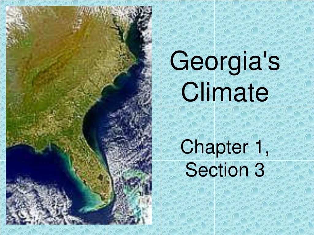
Georgia's Climate Chapter 1, Section 3
EQ: What does Georgia’s climate look like? • PT: • Describe the weather right now. • Describe the climate in the summer. The winter?
Some Key Terms • Weather: day-to-day conditions • Climate: weather over a long period of time
Temperature Annual mean (Avg) temperature ranges from about 54° F in the northeast to 68º F in the south. 55 60 65 70
Temperature January mean temperature ranges from about 36º F in the north to 53º F in the south. 32 40 50
Temperature July mean temperature ranges from about 70º F along the NC border to 84º F in the south. 70 80
The average annual rainfall in Georgia ranges from a low of about 45 inches near Mt. Vernon in Montgomery County (X) to a high of over 80 inches in mountainous areas in the northeast. Precipitation 70 50 X
The average annual snowfall for most of the state is less than 3 inches (green area). The far south does not usually experience snow. A few mountaintops in the northeast have more than a foot of snoweach year. Precipitation 12 3 x 0
Prevailing winds change across the state from season to season. Average monthly wind speeds range from 5 to 9 mph. Wind Apr Jan Jul Oct
Winds Winds in winter tend to be from the NW from over the continent Winds in summer tend to be from the SW from the Gulf of Mexico
Natural Hazards In the period from 1950-1995, Georgia experienced an average of 20 tornadoes per year, of which 6 were strong or violent tornadoes. x
Natural Hazards Hurricanes occasionally move across Georgia, although they are usually downgraded to a tropical storm by the time they enter the state.
Air Currents • Trade Winds: Winds from the equator flowing northeast. • Prevailing Westerlies: Winds blowing west to east • Warm winds = precipitation
Air Currents • These winds helped early explorers in sail-based ships travel across the Caribbean Sea and up the coast of North America.
Ocean Currents • Gulf Stream: Flow of warm water from the Caribbean Sea and the Gulf of Mexico up the East Coast of North America, and out to the Atlantic Ocean.
Ocean Currents • These currents helped early colonists sail from the colonies to England. • They also warm the water that brings precipitation.
Local conditions • Vegetation type and land cover can also affect climate • The presence of cities, irrigated land, or other human-induced changes can affect local conditions, too
Georgia’s climate varies on many different time scales, from seasonal to multi-decadal. These variations are due to a number of factors, including ocean temperatures, land use changes, and weather and climate events happening elsewhere in the US and the world.
Ticket out the door! • Write a paragraph of 5 or more sentences describing the causes of and effectson Georgia’s climate.