Download
1 / 11
110 likes | 217 Views
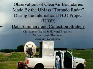
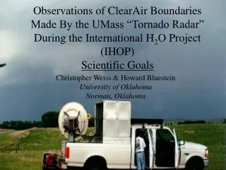
Observations of ClearAir Boundaries Made By the UMass “Tornado Radar” During the International H 2 O Project (IHOP) Scientific Goals. Christopher Weiss & Howard Bluestein University of Oklahoma Norman, Oklahoma. Operations During IHOP_2002. June 9 (dryline). June 10 (dryline). June 3

E N D
Observations of ClearAir Boundaries Made By the UMass “Tornado Radar” During the International H2O Project (IHOP) Scientific Goals Christopher Weiss & Howard Bluestein University of Oklahoma Norman, Oklahoma
Operations During IHOP_2002 June 9 (dryline) June 10 (dryline) June 3 (cold front) Deployments: 3 rolling RHI 2 stationary RHI 2 VAD Deployments: 2 rolling RHI 2 VAD Deployments: 1 stationary RHI May 22 (dryline) Deployments: 4 rolling RHI 2 stationary RHI 2 VAD 1 vertical antenna X-sect
Scientific Goals • Goal with UMass mm-wave data: Resolve the kinematics of the dryline secondary circulation (DSC) and dryline convergence zone (DCZ) • Each mode of data collection has a different objective
Data Collection StrategiesMode #1 - VAD 5/22/02 – moist side VAD • Obtain high spatial resolution depiction of boundary layer wind profile on both sides of the dryline (e.g., inflection points?) W
Data Collection StrategiesMode #2 – Vertical Antenna • Spatial distribution of upward and downward motion in and near the DCZ • Convective rolls
Data Collection StrategiesMode #3 – Stationary RHI DZ E VE • Temporal evolution of the dryline. • Support/refute theories of advancement, retrogression.
Data Collection StrategiesMode #4 – Rolling RHI • Once suitable analysis method found, can resolve full two-dimensional wind field (u/w) in cross-dryline plane. • Potentially the most useful data collection method
Complications • Subtraction of truck velocity is delicate. • Accurate GPS position, velocity important • Pitch of truck • Uncertainty of GPS elevation data • Translation and development of feature • “Stationarity assumption” • Sensitivity and range • Irregular weave pattern (i.e., varying angle of intersection between two radar looks)
Atkins et al. 1998 Weiss and Bluestein 2002 • Compare high-resolution ground based data to recent airborne pseudo dual-Doppler studies. • Descent west of DCZ? Acceleration of westerly inflow? • Magnitude of descent east of DCZ? • Contribution of air parcels in DCZ (e.g., trajectory analysis) • Tilt of DCZ
6/10/02 1959 UTC DZ W VE (uncorrected)
Scientific Goals • Goal with UMass mm-wave data: Resolve the kinematics of the dryline secondary circulation (DSC) and dryline convergence zone (DCZ) • But…need collaboration for the full picture! Surface thermodynamic data [MM – (Rasmussen)] cm-wave radar [DOW/XPOW – (Richardson, Wurman), SR-1 (Ziegler, Markowski)] Airborne radar [ELDORA, Wyoming - Geerts, others?]