Download
1 / 34
340 likes | 423 Views
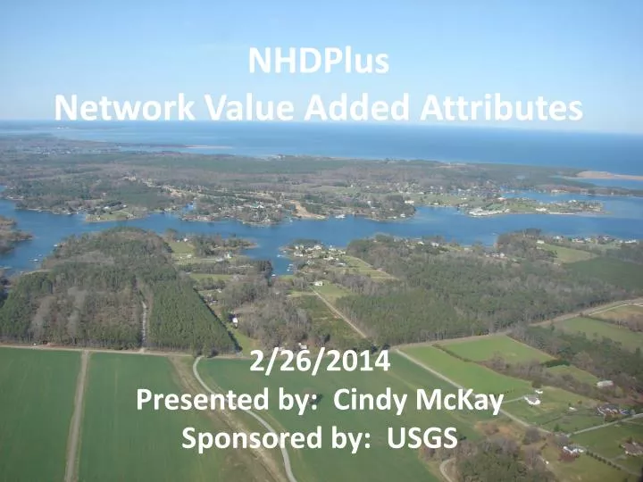
NHDPlus Network Value Added Attributes. 2/26/2014 Presented by: Cindy McKay Sponsored by: USGS. NHDPlus Is Value Added. NHD + NED + WBD. = NHDPLUS Value Added Attributes Value Added Spatial Layers. NHDPlusV2 Build/Refresh Process. Snapshots NHD + WBD + NED.

E N D
NHDPlus Network Value Added Attributes 2/26/2014 Presented by: Cindy McKay Sponsoredby: USGS
NHDPlus Is Value Added NHD + NED + WBD = NHDPLUS Value Added Attributes Value Added Spatial Layers
NHDPlusV2 Build/Refresh Process Snapshots NHD + WBD + NED Phase 3 Catchment & Drainage Area Attribution Phase 1 - Vector Processing Phase 2 - Raster Processing Extended Attributes Including Stream Flow Estimates Network VAAs & Burn Components Catchments & Raster Components
National Hydrography Dataset • The “National Framework” Dataset for Hydrography • Origins in the Cartography of the USGS Quad Maps • Stream Network (“blue lines”) & Waterbodies • Stable (nearly permanent) Reachcode Identifiers on Stream Network and Waterbody Features • Flow Relationships & Ordered Geometry
Addressing Linear Reaches National Hydrography Dataset • Each linear reach is one addressable unit - a ‘street’ • Each reach is assigned a • unique Reachcode – • the‘street name’ • Addresses are proportional ‘street’ numbers 0-100 from bottom to top
National Hydrography Dataset Reaches are designed to be permanent/stable.
Medium Resolution 1:100K and better NHDPlusV1 and V2 High Resolution 1:63K (AK), 1:24K or better National Hydrography Dataset Comes in Two Sizes NHDPlusV2 - NHD
NHDPlusV2 - NHD NHDPlus & NHD • NHDPlusV1 – Medium Resolution NHD • NHDPlusV2 – Medium Resolution NHD • Areas of NHDPlus built from High Res NHD • Texas (Vector processing only) • Vermont(Vector processing only) • 1015 – headwaters of Niobrara R. (Vector processing only) • 070101 – headwaters of Mississippi River (full NHDPlus) • 7 subbasins (HUC8s) in New York State (full NHDPlus) • Maine plus drainage from Canada/NH (full NHDPlus) • NHDPlus Network VAAs – coming for High Res NHD
NHDPlus Concepts: Integration of NHD, WBD, and NED WBD Boundaries “walled” Into Elevation NHD Streams and Waterbodies “burned” Into Elevation
NHDPlus Concepts: Link between the Landscape & the Mapped Stream Network Catchment: Land Surface that Drains to Each Stream Segment
NHDPlusV2 Value Added Attributes PlusFlowlineVAA Commonly called “The Network VAAs” ElevSlope Elevation & Slope HeadWaterNodeArea Area Draining to Headwater Node Catchment Attributes Attributes Allocated to Catchments Drainage Attributes Total Upstream Attributes EROM_MA Mean Annual Flow/Velocity EROM_MM Mean Monthly Flows/Velocities
NHDPlusV2 Network VAAs • Network VAAs are an integrated set. • Network VAAs are computed in a specific order. • Each network VAA computation depends on the network VAAs computed before it. • The NHD network must pass the mandatory NHDPlus QAQC checks BEFORE Network VAAs can be computed.
NHDPlusV2 Network VAAs NHDPlus Analysis VAAs • StreamOrder • StreamCalculator • ArbolateSum • ReturnDivergence • PathLength
NHDPlusV2 Network VAAs NHDPlus Navigation VAAs • FromNode/ToNode • Hydroseq • LevelPathID • TerminalPathID • StreamLevel • Divergence • StartFlag • TerminalFlag • VPUIn/VPUOut • UpLevelPathID • UpHydroSeq • DnStreamLevel • DnLevelPathID • DnMinorHydroseq • DnDrainCount
NHDPlusV2 Network VAAs From node/To node 10 9 • Set of nationally unique identifiers for the node endpoints of the flowlines. • Nodes are conceptual. • There is no node feature class in NHDPlus. • Compact Numbers 8 7 5 6 3 4 2
NHDPlusV2 Network VAAs Strahler Stream Order 1 1 The smallest permanent streams are called "first order". Two first order streams join to form a larger, second order stream; two second order streams join to form a third order, and so on. Smaller streams entering a higher-ordered stream do not change the order number. Strahler 1964 2 1 1 2 1 2 3
NHDPlusV2 Network VAAs StreamOrder & StreamCalculator Flow Direction
NHDPlusV2 Network VAAs • An Interesting Side Benefit of Stream Calculator - Selecting SC > 0 from NHDFlowline yields a dendritic network.
NHDPlusV2 Network VAAs StreamLevel Provides the informationnecessary to determine the main path upstream at each confluence. • Flow Volume • Stream Name • Arbolate Sum 2 1 1 2 2 1 3 2 1
NHDPlusV2 Network VAAs Divergence 0 0 A flag which defines the major and minor branches of a flow split (divergence). 1 0 2 1 2 0
NHDPlusV2 Network VAAs PathLength 4/10.5 5/10.5 The distance from the downstream end of a flowline to the network terminus 3.5/7.0 4.5/7.0 2.5/3.9 5.1/1.9 2.2/3.9 2/1.9 1.9/0.0
NHDPlusV2 Network VAAs Hydrologic Sequence Number (HydroSeq) 8 9 A nationally unique sequence number that places each stream flowline in hydrologic order Compact numbering system At any flowline, all upstream flowlines have higher hydrologic sequence numbers and all downstream flowlines have lower hydrologic sequence numbers. Ascending = downstream to up Descending = upstream to down 7 6 3 5 4 2 1
NHDPlusV2 Network VAAs Hydrologic Sequence Number (HydroSeq) 6 . . . 4448 4413 4412 4411 4376 4375 4374 4338 . . . 4 5 3 7 1 2 8
Level Path ID = 55 2 1 1 2 2 1 3 2 1 Hydrologic Sequence Number = 55 NHDPlusV2 Network VAAs Level Path Identifier The hydrologic sequence number of the most downstream flowline on the same level path.
NHDPlusV2 Network VAAs Susquehanna River Main Stem
Terminal ID = 55 Hydrologic Sequence Number = 55 NHDPlusV2 Network VAAs Terminal Identifier The hydrologic sequence identifier for the terminal flowline to which a flowline ultimately flows.
NHDPlusV2 Network VAAs Susquehanna River Drainage Basin
NHDPlusV2 Network VAAs Navigate Upstream along all paths for 20 km.
NHDPlusV2 Network VAAs Find all the tributaries to the Tennessee River within 100 km upstream of the confluence with Spring Creek.
NHDPlusV2 Network VAAs There are 42 tributaries to the Tennessee River within 100 km upstream of the confluence with Spring Creek.
NHDPlusV2 Network VAAs Navigate Upstream until Total Drainage Area < 50 sqkm
NHDPlusV2 Value Added Attributes PlusFlowlineVAA Commonly called “The Network VAAs” ElevSlope Elevation & Slope HeadWaterNodeArea Area Draining to Headwater Node Catchment Attributes Attributes Allocated to Catchments Drainage Attributes Total Upstream Attributes EROM_MA Mean Annual Flow/Velocity EROM_MM Mean Monthly Flow/Velocity
NHDPlus Value Added Attributes Questions?