Download
1 / 20
200 likes | 269 Views
This briefing provides an overview of MODIS, a remote sensing system that offers national-scale reporting, watershed monitoring, land cover change analysis, and more. It discusses the objectives, deliverables, technical description, and selected applications of MODIS.

E N D
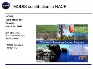
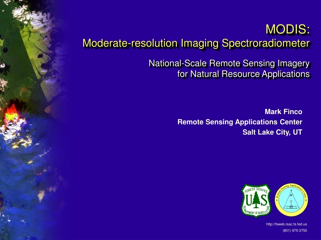
MODIS: Moderate-resolution Imaging Spectroradiometer National-Scale Remote Sensing Imagery for Natural Resource Applications Mark Finco Remote Sensing Applications Center Salt Lake City, UT http://fsweb.rsac.fs.fed.us (801) 975-3750
Estimated % Canopy Cover Briefing Overview • Objectives & Deliverables • Brief Technical Description of MODIS • Selected Applications • Fire Information Support • Rangeland Monitoring • Land Cover Change
Objectives • Utilize new remote sensing system to provide quick response imagery and geospatial resource information to support : • National-scale reporting and mapping (e.g., burn areas/severity) • Effectiveness monitoring of watershed restoration and rehabilitation work • National scale strategic planning – restoration prioritization and asset allocation • Regional and forest scale analysis where vegetation and landcover change information is required
Actions and Deliverables • Establish MODIS satellite downlink and data processing capability at RSAC – GSTC • Provide MODIS imagery and GIS data to field offices via Geospatial Data Clearinghouse • Continue development of MODIS image processing algorithms in cooperation with NASA, universities and Forest Service geospatial data users • Provide training and technical support
MODIS Characteristics • MODIS utilizes latest technology, sensor specifically designed for vegetation, landcover and burn area mapping • MODIS images 2,300 km swath in single pass • Single MODIS satellite images same location on the ground every two days • Two MODIS satellites will be operational early 2001 – second system will provide daily coverage
MODIS Orbital Characteristics • Terra Platform – EOS AM1 • Aqua Platform – EOS PM1 • 705 km, Near-polar, Sun Synchronous • ~2300 km Swath Width • 1 to 2 day revisit
MODIS Sensor Characteristics • Red / NIR @ 250-meters • 5 Visible to Mid-IR Bands @ 500-meters • 29 Visible to Thermal IR @ 1-km Spectral Property Summary • Narrow Spectral Width • High Dynamic Range (12-bit) • Multiple Thermal Bands • Sophisticated Onboard Calibration Comparison of Landsat 7 and MODIS Bands 1-7
Summary: MODIS / Landsat Comparison MODIS : Unique Niche in Earth Observing Systems & Opens the Door to New Natural Resource Applications
MODIS Direct Readout • Facilitates applications that require near real-time imagery • Wider use of data • Moderate cost solution
Level 0 Processing • Antenna Control and Programming • Tunable X-band Down Converter • Demodulation and Frame Synchronization • Assembly of Level 0 product • Level 1b Processing • Level 0 Reformatting • Geolocation using Ephemeris and Attitude • Calibration to top-of-atmosphere radiance RAID Automated Tape Backup Proposed USDA Forest MODIS Applications Network Direct Broadcast Workstation GPS Timing System Terra (Aqua) Spacecraft 3.1-meter X-band Antenna Broadband Virtual Network Connection (< 60 min. lag) Ethernet LAN RSAC Image Processing Workstation FiSL Image Processing Workstation • Level 2 & 3 Processing (RSAC) • Existing MODLand Products • MOD09 - MOD13 MOD14 • Algorithm Development • Burned Severity / Intensity • Watershed Assessment Support • Strategic Fire Management Support • Level 2 & 3 Processing (FiSL) • Algorithm Development • Enhanced Active Fire • Smoke Dispersion • Algorithm Development • Burned Severity • LANDFIRE Support?
MODIS fire mapping Montana Fires August 23, 2000
MODIS fire mapping Montana & Idaho Fires September 26, 2000
1 year sequence of “greeness” images MODIS Support for Rangeland Management • Monitor daily rangeland changes: • Improves forage production estimates • Improves rangeland cover mapping capabilities • Identify annual trends in rangeland production: • Develop guidelines for sustainable range management
MODIS Vegetative Cover Conversion • Alarm for where rapid land cover conversion • Multiple change detection algorithms • 250-meter Spatial Resolution
Annual Landcover Map • MODIS-Derived • 1-km Spatial Resolution • IGBM Classification Prototype of Annual Land Cover Map