Download
1 / 28
280 likes | 403 Views
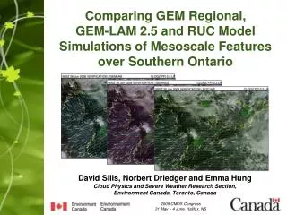
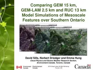
Comparing GEM 15 km, GEM-LAM 2.5 km and RUC 13 km Model Simulations of Mesoscale Features over Southern Ontario. David Sills, Norbert Driedger and Emma Hung Cloud Physics and Severe Weather Research Section, Environment Canada, Toronto, Canada. 2010 Great Lakes Op Met Workshop Toronto, ON.

E N D
Comparing GEM 15 km, GEM-LAM 2.5 km and RUC 13 km Model Simulations of Mesoscale Features over Southern Ontario David Sills, Norbert Driedger and Emma Hung Cloud Physics and Severe Weather Research Section, Environment Canada, Toronto, Canada 2010 Great Lakes Op Met Workshop Toronto, ON
Introduction and Motivation • Variety of NWP models used at the OSPC RSD for mesoscale analysis and nowcasting guidance: • REG - regional version of EC’s Global Environmental Multiscale (GEM) model with variable horizontal grid spacing (15 km in central domain), 12-hr data assimilation cycle • LAM - limited-area version of the GEM model with 2.5 km horizontal grid spacing, initial and boundary conditions from GEM-REG • RUC- the US NOAA/NCEP Rapid Update Cycle (RUC) model with 13 km horizontal grid spacing, 1-hr data assimilation cycle
More Model Details… • REG • 58 sigma vertical levels • hydrostatic • ISBA surface physics – 4 surfaces, 3 layers, 24 veg types • LAM • 58 hybrid sigma-pressure vertical levels, • non-hydrostatic (better for mesoscale circulations) • ISBA surface physics – 4 surfaces, 3 layers, 24 veg types • RUC • 50 hybrid isentropic-sigma vertical levels • hydrostatic • Land Surface Model – 6-layer soil model, 24 veg types • no embedded water surface models • assimilates radar and profiler winds, aircraft data
Hypotheses • LAM’s higher resolution and non-hydrostatic formulation should provide more accurate solutions than REG in regions of complex topography • RUC’s 1-hr data assimilation cycle should effectively ‘nudge’ the model solution closer to reality than REG
Methodology • Focused on features with mesoscale detail over southern Ontario and surrounding areas: • Early-season, late-season and summer lake breezes • Winter land breezes with snow squalls • Warm / cold fronts • Low positions • Others: prefrontal convergence, trofs, lake funnelling, etc. • Used 18 UTC data from June 2008 to May 2009 • Model performance ranked (1st, 2nd, 3rd) based on subjective comparison of mesoscale features against observations (sfc winds, radar reflectivity, vis sat) • Ties were always ranked as 2 (1-2-2, 2-2-3, 2-2-2)
Results - Overall • 232 mesoscale features were compared from 217 days • Overall averaged rankings: • LAM – 1.78 • RUC – 1.94 • REG – 2.19 • LAM ranked higher than REG: 115 events or 49.5% • RUC ranked higher than REG: 103 events or 44.4%
Results – By Month • Model rankings have clear monthly differences • LAMmodel superior Aug-Oct and Feb-Mar, worse than REGNov and Jan • RUCmodel superior Nov-Jan and Apr-May, worse than REGOct and Mar • No month has REGthe highest ranked model
Results – By Feature Type (N=32) • Model ranking also has clear differences based on feature type • LAMsuperior with early and late season lake breezes, worse than REG for winter land breezes • RUCsuperior with low positions, worse than REG for early- and late- season lake breezes • REG does well with winter land breezes (N=21) (N=23) (N=25) (N=105) (N=19)
Results – By Convection • Is there a difference for summer convective environments? • Very little change for convection vs. no convection • Model rankings consistent as well • May be due to 18Z being mainly pre-storm
Conclusions • Overall, the mesoscale features generated by the LAM and the RUC were closer to observations than the REG, with LAM having the highest averaged ranking • There were clear monthly differences in model rankings, as well in differences due to feature type
Conclusions Cont’d • The LAM and RUC ranked about the same for summer lake breezes and warm/cold fronts • The LAM ranked first for early- and late-season lake breezes, while RUC ranked first for low positions • LAM ranked last for winter land breezes, while RUC ranked last for early- and late-season lake breezes
Conclusions Cont’d • There appeared to be little difference between events with convection and events without convection • This is a preliminary investigation – a more objective approach and larger sample sizes are needed • Would a high-resolution LAM with an hourly data assimilation cycle produce even better results?