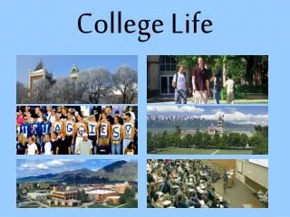
College Life
College Life. From source of knowledge to Full life location Situated at Lewis and Clark College By: Emma Redfoot. Land Use Cover Change.

College Life
E N D
Presentation Transcript
College Life From source of knowledge to Full life location Situated at Lewis and Clark College By: Emma Redfoot
Land Use Cover Change • I wanted to evaluate how the development of the Lewis and Clark College campus has changed focus including more residential infrastructure and non-academic spaces. • Process: evaluate a air photo of the Lewis and Clark campus in 1948 and compare the land use to an image taken in 2005 in GIS. Calculate the acreage of the area taken up by impermeable non-academic uses, impermeable academic uses, permeable campus life, and impermeable campus living. • The process in GIS included georeferencing the campus boundary using way points. • Then free hand drawing polygons around different categories of land use. • Then categorizing these polygons and using them to find the area in acres of the different land uses.
Process 2005 1948 Green triangles are the waypoints Polygons are the different areas accounted for in the land use study
Land Cover Quantities (Acres) 1948 Campus land use 2005 Campus land use
Conclusions • There is more land directly in use for academic, residential, and non-academic (recreational) reasons. • There has been a particular jump in the non-academic/campus living uses of the campus. • The 2005 map is the campus that I recognize best, thus I may have selected and labeled the uses more thoroughly than the 1948 map.
Errors • This project has been fairly inconclusive due to the likely errors including: • Not perfectly outlining the region with polygons. • Some personal judgment as to what the primary use of different areas on campus. • Not fully understanding the layout of the campus in the less recognizable 1948 aerial image. • The waypoints used for geo referencing were not taken by myself thus the boundary may not be perfectly in place • I assumed that the campus living and recreational areas of this school have expanded as the population living on the campus has increased.
How to Correct Errors • Evaluate the image with someone who has a better idea of the layout of the campus in 1948. • Choose the waypoints myself, so I have a better idea of georeferencing. • Have someone less familiar with the uses of the campus do the mapping with the help of people telling the researcher what areas are used for what. My built in bias impacts what areas I believe are used for academic/non-academic reasons.