Download
1 / 13
130 likes | 232 Views
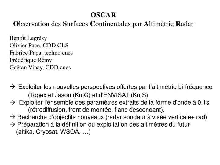
OSCAR O bservation des S urfaces C ontinentales par A ltimétrie R adar. Benoît Legrésy Olivier Pace, CDD CLS Fabrice Papa, techno cnes Frédérique Rémy Gaëtan Vinay, CDD cnes. Exploiter les nouvelles perspectives offertes par l’altimétrie bi-fréquence

E N D
OSCAR Observation des Surfaces Continentales par Altimétrie Radar Benoît Legrésy Olivier Pace, CDD CLS Fabrice Papa, techno cnes Frédérique Rémy Gaëtan Vinay, CDD cnes • Exploiter les nouvelles perspectives offertes par l’altimétrie bi-fréquence • (Topex et Jason (Ku,C) et d'ENVISAT (Ku,S) • Exploiter l'ensemble des paramètres extraits de la forme d'onde à 0.1s (rétrodiffusion, front de montée, flanc descendant). • Recherche d’objectifs nouveaux (radar sondeur à visée verticale+ rad) • Préparation à la définition ou exploitation des altimètres du futur (altika, Cryosat, WSOA, …)
c) e) f)
a) b) c) d) e) f) g) h)
c) d)
d) c)
Etude qualitative sur le global • (Papa et al., 2003; Legresy et al., 2003) • Etude quantitative sur : • Groenland (Remy et al., JEWA,1996; Legresy et al, RES, 2003) • Neige continentale (Papa et al., IEEE, 2002) • Glace de mer (mer d’Aral et Gaspienne) (Kouraev et al., 2003) • Utilisation des données en synergie avec • Le diffusiomètre (coll avec Mougin, Jarlan) • L’optique (coll C. Prigent) • Les radars aéroportés et BF (Monique Dechambre) • Envisat mieux adaptécar bande S (plus robuste, plus pénétrante), mode ice et super ice, algos adaptés (ice2)
Height maps (in m) in both bands (Ku) at left, (S) at right, (Ku-S) below. ESA-ESRIN ENVISAT-CCVT. Ice 2 retracker B. LEGRESY (CNRS/LEGOS) & al., ESL RA2MWR CLS-LEGOS 24 March 2002
Backscatter maps (in dB) in both bands (Ku) at left, (S) at right, (S-Ku) below. ESA-ESRIN ENVISAT-CCVT. Ice 2 retracker B. LEGRESY (CNRS/LEGOS) & al., ESL RA2MWR CLS-LEGOS 24 March 2002
Trailing edge maps (in 1000s-1) in both bands (Ku) at left, (S) at right, (Ku-S) below. ESA-ESRIN ENVISAT-CCVT. Ice 2 retracker B. LEGRESY (CNRS/LEGOS) & al., ESL RA2MWR CLS-LEGOS 24 March 2002
Leading edge maps (in 1/10m) in both bands (Ku) at left, (S) at right, (Ku-S) below. ESA-ESRIN ENVISAT-CCVT. Ice 2 retracker B. LEGRESY (CNRS/LEGOS) & al., ESL RA2MWR CLS-LEGOS 24 March 2002
Validation by comparing with TOPEX Backscatter diff (C-Ku)/(S-Ku)in dB 9 years average of november TOPEX (s0C-s0Ku) (Papa & al. 2002 ; 2003) observations compare well with the data available on cycle 11 for ENVISAT(s0S-s0Ku).ENVISAT provide more resolution in space and more dynamic resolution in backscatter => better recovery of vegetation / snow... ESA-ESRIN ENVISAT-CCVT. Ice 2 retracker B. LEGRESY (CNRS/LEGOS) & al., ESL RA2MWR CLS-LEGOS 24 March 2002 ENVISAT (S-Ku) Backscatter
Extension to the polar regions : Dual frequency promising ENVISAT ESA-ESRIN ENVISAT-CCVT. Ice 2 retracker ERS Ku 11m height difference! Very deep penetration? B. LEGRESY (CNRS/LEGOS) & al., ESL RA2MWR CLS-LEGOS 24 March 2002 The difference in parameters behaviour with frequency show strong variations in space and promise to help describe the snowpack directly while it was necessary to use the temporal variability to recover relevent parameters with ERS (Legresy & Remy, 1998).