Download
1 / 7
90 likes | 346 Views
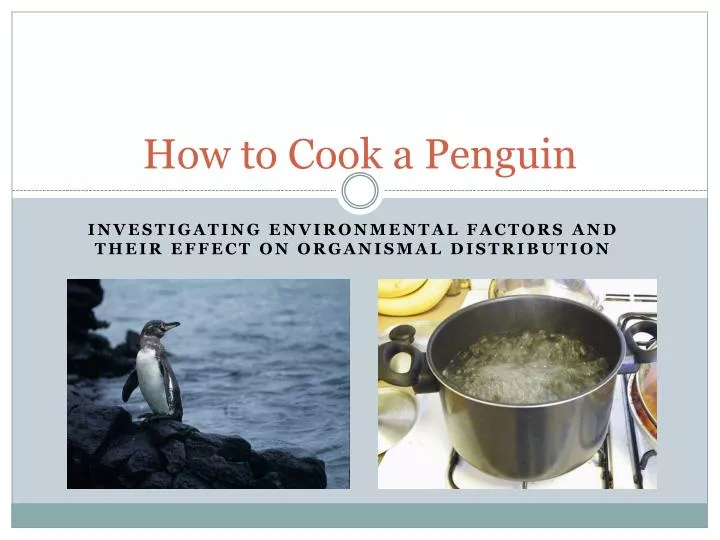
How to Cook a Penguin. Investigating Environmental Factors and their effect on organismal Distribution. Galapagos Islands. The Galapagos Islands are a volcanic archipelago (island chain) located 500 miles off the coast of Ecuador on the equatorial boundary

E N D
How to Cook a Penguin Investigating Environmental Factors and their effect on organismal Distribution
Galapagos Islands The Galapagos Islands area volcanic archipelago (island chain) located 500 miles off the coast of Ecuador on the equatorial boundary The Galapagos, made famous by Charles Darwin, compromises 18 main islands with Isabela and Fernandina being some of the largest and most western islands of the archipelago The unique positioning of the Galapagos falls between several important ocean current convergences that greatly affect the environment and habitat of the species that exist there
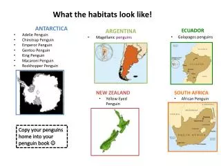
Galapagos Penguins Galapagos penguins (Spheniscusmendiculus) are an endangered species of penguin living on the Galapagos islands They have adapted to the climate of the Galapagos due to unique environmental factors as well as slight behavior modifications that allow them to survive and reproduce in a relatively tropical climate 90% of the population is restricted to the islands of Isabela and Fernandina Primarily stay in the water during the day to feed and assume normal activity, while they inhabit the dry land at night seeking shelter in rocky crevices and outcrops along the coastline Evolved adaptive behaviors of panting and shielding their feet with flippers to cool off and reduce heat loss on land when sun is still exposed
Humboldt and Cromwell Currents The Humboldt or Peru current brings cold chilling waters from the south pole to the southern portion of the island chain The Cromwell or Equatorial Undercurrent is an eastern traveling upwelling current that brings cold, nutrient-rich waters to the western islands of the Galapagos
Humboldt and Cromwell Currents Galapagos Penguin Distribution CROMWELL EQUATORIAL COUNTER CURRENT HUMBOLDT/PERU CURRENT
Picture Resources • Galapagos Islands Penguin distribution map- CC by SA 3.0- Strebe (http://en.wikipedia.org/wiki/Galapagos_penguin#mediaviewer/File:Galapagos_Penguin.png) Modified by D. Gardner • World Map handout- CC by SA 3.0 (http://en.wikipedia.org/wiki/Equirectangular_projection#mediaviewer/File:Equirectangular_projection_SW.jpg) • Galapagos Island Map- CC by SA 2.5- freeworldmaps.net (http://simple.wikipedia.org/wiki/Gal%C3%A1pagos_Islands#mediaviewer/File:Galapagos%2Bmap.jpg) • Galapagos Penguin (Title Slide)- Flickr: Galápagos Penguin (Spheniscusmendiculus), Galápagos Islands, Ecuador • Galapagos Penguin (Info Slide)- CC by SA 2.0-Flickr (http://en.wikipedia.org/wiki/Galapagos_penguin#mediaviewer/File:Galapagos_penguin_(Spheniscus_mendiculus)_-Isabela2.jpg) • Boiling Water (Title Slide)-CC by SA 3.0 Unported-Free Software Foundation (GNU Free Documentation license) (http://commons.wikimedia.org/wiki/File:Boiling_water.jpg) • Ocean Currents World Map- Public Domain (http://skyblue.utb.edu/paullgj/geog3333/lectures/oceancurrents-1.gif)