NRCS Soil Survey
320 likes | 625 Views
NRCS Soil Survey. An invaluable resource for landuse planning and land management. Web Soil Survey. http://websoilsurvey.nrcs.usda.gov/app/ OR Search for Web Soil Survey. Air photo, used to start the survey. Use landscapes to develop maps. Information from a Soil Survey. Maps General

NRCS Soil Survey
E N D
Presentation Transcript
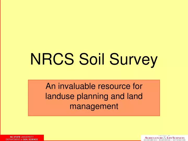
NRCS Soil Survey An invaluable resource for landuse planning and land management
Web Soil Survey http://websoilsurvey.nrcs.usda.gov/app/ OR Search for Web Soil Survey
Information from a Soil Survey • Maps • General • Specific • Map Unit Description (MUD) • Taxonomic Unit Description (TUD) • Growing Season Tables • Land Use Tables
Sanitary Facilities Table Based on little to no measured data.
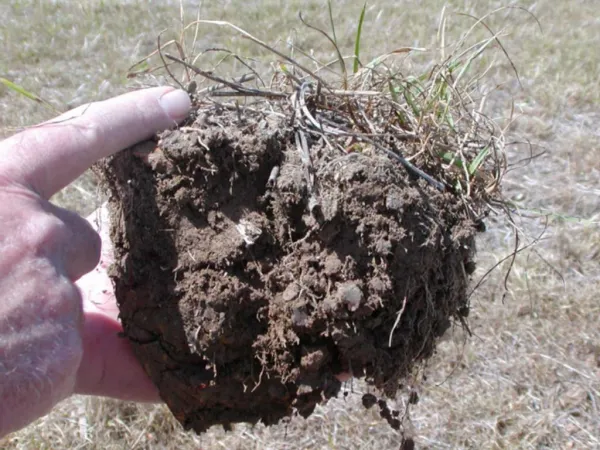
A Cautionary Note • Soil Surveys are accurate to approximately 5 acres • Each map unit contains inclusions • Always determine associated series to better understand soil/site relations Note: Soil survey data is useful for initial planning, but field evaluation is necessary for proper site and soil evaluation
Questions? David Lindbo, Professor Soil Science Dept. North Carolina State University 919-515-2635 david_lindbo@ncsu.edu