Download
1 / 28
290 likes | 316 Views
Explore Japan's GOSAT satellite and its TANSO-FTS sensor measuring CO2 and CH4 emissions. Learn about its mission goals, performance, operational experiences, and future plans. Understand the satellite's instruments and data acquisition processes. Gain insights into its spectral coverage, absorption lines, pointing footprints, and operational modes. Evaluate the satellite's successful launch, initial calibrations, data quality, anomalies, and ongoing developments. Dive into the mission's achievements, challenges, and continuous efforts to monitor and reduce greenhouse gas emissions.

E N D
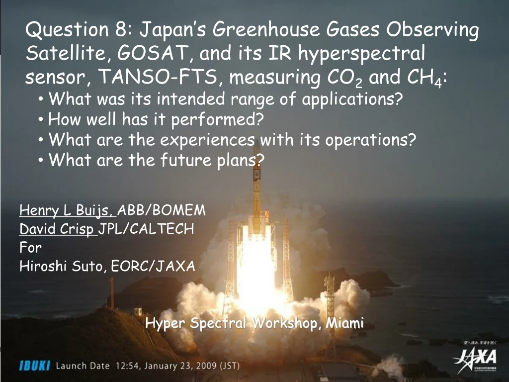
Question 8: Japan’s Greenhouse Gases Observing Satellite, GOSAT, and its IR hyperspectral sensor, TANSO-FTS, measuring CO2 and CH4: • What was its intended range of applications? • How well has it performed? • What are the experiences with its operations? • What are the future plans? Henry L Buijs, ABB/BOMEM David Crisp JPL/CALTECH For Hiroshi Suto, EORC/JAXA Hyper Spectral Workshop, Miami Hyper Spectral Workshop 2011
Great Earthquake 2011/03/17 2011/03/11 We hope we will be back from this serious situation. Hyper Spectral Workshop 2011
Program Overview • GOSAT Greenhouse gases Observing SATellite. Nickname = “IBUKI” Goal of mission • To monitor the global distribution of Green House Gases (GHG’s), especially, the CO2 and the CH4. -with relative accuracy of 1% for CO2 and 2% for CH4 • To reduce sub-continental scale CO2 annual flux estimation errors by half - 0.54GtC/yr to 0.27GtC/Yr (C)NIES Hyper Spectral Workshop 2011
Organization GOSAT is the joint project of JAXA, MOE(Ministry of Environment) and NIES (National Institute for Environmental Studies). MOE JAXA • Sensor development • Satellite development • H-IIA launch • Satellite operation • Data acquisition • Calibration NIES • Algorithms development • Data use for science • Validation Satellite: Mission Instruments: Hyper Spectral Workshop 2011
TANSO=Thermal And Near infrared Sensor for carbon Observation TANSO onboard GOSAT • TANSO-FTS(Fourier Transform Spectrometer) • SWIR reflected on the earth’s surface • -TIR radiated from the ground and the atmosphere • Mass: 15 kg • Volume: 34 cm x 22 cm x 24 cm • 97.1% reliability (predicted) TANSO-CAI (Cloud and Aerosol Imager) Ultraviolet (UV) (0.38 micron), visible (0.67 micron), NIR (0.87 micron), and SWIR (1.6 micron)
TANSO FTS characteristics • Michelson-like • Cube corners on “V”-shape scan arm • Double-sided sweep, 2.5 cm MPD (0.2 cm-1 resolution) • Self-compensated beamsplitter(proprietary) • Laser metrology based on 1310 nm laser diodes • Fringe count for actuator servo-control + IR sampling • Direction determination • Aluminum structure • Flex mounts to interface with carbon fiber optical bench
Spectral Coverage and Absorption Lines • 3 narrow bands • 0.76micron • 1.6micron and • 2micron • A wide band • 5.5 – 14.3 micron • With 0.2cm-1 spectral resolution • Column density of CO2 is mainly retrieved by using the absorption lines between 1.6micron (Band 2) region. • The intensities of these lines are less temperature dependent and not interfered by other molecules. • O2 A band absorption at 0.76 micron are used to estimate the effective optical path length. Hyper Spectral Workshop 2011
Pointing and Footprints cross track patterns Camera FOV > 30 km TANSO FTS IFOV=10.5 km TANSO CAI IFOV=0.5, 1.5 km SWATH900km North TANSO-CAI Camera IMC ID=5 Equator Sun Glint P East West TANSO-FTS Polarization Bands S South Hyper Spectral Workshop 2011
Observation per IFOV Selectable, 1.1 s., 2 s. and 4s. Scan times are synchronized to orbit time To permit precise revisit location every 3 days Selectable number of cross track IFOVs Also specific target selection Including sun glint tracking over water Scanning modes
Operation • Solar Irradiance Cal. FTS SWIR & TIR CAI • Lunar Cal Solar Flux • FTS TIR Day side Night side Special observation mode: FTS-Diagnostic Mode, Viewing the diffused LD light during a few orbit. Hyper Spectral Workshop 2011
How well has it performed? • GOSAT was successfully launched from Tanegashima Space Center on a H-IIA Launch vehicle on 23 January 2009 • “First Light” images and spectra taken on 9 February 2009 • Initial Cal/Val completed an routine operations started in July 2009 • First global maps collected in April 2009 • First Level 2 XCO2 and XCH4 products released in February 2010 • 3 Research Announcements released • 106 proposals have been selected • Next RA Meeting: 19-20 May, Edinburgh, U.K. Hyper Spectral Workshop 2011
FTS exceeds signal to noise ratio expectations in all bands Spectral quality is very good Very accurate ILS Very stable repeatable spectra Requires correction algorithm for vibration resonance effect 4s. Scan time gives best results Has precise compensation for vibration influence Minor non-linearity effect due to ADC in band 1 Correction algorithm being developed. Calibration issues with Thermal IR band 4 Goal of mission not yet achieved Retrieval issues still being worked How well has TANSO-FTS performed?
First FTS Data Successfully detected from space at Visible (760nm) and SWIR(1.6, 2.0um) with High resolution. Hyper Spectral Workshop 2011
TANSO-FTS Anomalies • A few anomalies have been identified and are under investigation • 10-20 % of recorded interferograms have anomalous fluctuations. • Can be distinguished by checking level 1 data quality flag. • TANSO-FTS Zero Path Difference (ZPD) shift • Problem mitigated by resetting FTS once every 2 weeks • Sampling laser signal level decreases very slowly due to misalignment • No impact on performance (small wavelength shift). • TANSO-FTS onboard camera data detected a few km pointing offset . • Radiometric response degradation has been observed • The largest impacts seen at the shortest wavelengths • TANSO-FTS Band 1 Nonlinearity – Currently under investigation Hyper Spectral Workshop 2011 15
Pointing AT-Instability Typical “good” IGM Typical “anomaly” IGM Before v.050, we can not assigned these type of IGM by listed flags. Hyper Spectral Workshop 2011 16
ZPD shift (1/2) From 04 May. UT6:00, the change of Zero Path Difference Position (ZPD) was observed. The changing speed and number are random, no regularity Hyper Spectral Workshop 2011 17
ZPD shift (2/2) • To avoid the large shifts, ZPD position is corrected if necessary. • (Criteria is +/- 40 shifts) Hyper Spectral Workshop 2011 18
Degradation of sampling signal All level of sampling signal (phase/dephase, AC/DC: to determine the mirror position) are decreasing on-orbit. >> Fitting curve suggests us that the degradation speed tend to be slow and stop in near future. The trend of Dephase AC signal (lowest signal in critical signal, Fringe/Dephase AC) Hyper Spectral Workshop 2011 19
Radiometric Degradation Band1 degradation might be mainly caused by just after launch or pre-launch calibration error. Hyper Spectral Workshop 2011 20
Pointing anomaly 4/27 4/30 5/6 6/23 6/26 6/29 7/2 7/5 10/3 10/6 10/9 10/12 10/15 10/18 10/21 10/24 10/27 10/30 Hyper Spectral Workshop 2011 21
Pointing anomaly (5 point mode) • Pointing target position error was analyzed applying onboard Camera image. • Pointing has systematic offset values that are changing with time. • Along-track (AT) values show greater offsets than Cross-track (CT) CT AT Hyper Spectral Workshop 2011 22
Pointing anomaly (3 point mode) • Pointing target position error was analyzed using onboard Camera images. • Pointing still has systematic offsets that change with time, but both amplitude of offset and variability are substantially smaller in 3-point mode CT AT Hyper Spectral Workshop 2011 23
Radiometric Degradation Band1 FTS and CAI degradation may have occurred just after launch or may be due to a pre-launch calibration error. Hyper Spectral Workshop 2011 24
Global Map for GHG NIES is using the GOSAT measurements to retrieve XCO2 and XCH4 These data have biases, and are affected by dust aerosols, however, the overall data distribution trend is reasonable. XCO22009/07 The retrieved results will be revised as the instrument calibration and retrieval algorithms improve. XCH4 2009/07 Hyper Spectral Workshop 2011 25
Global Map for GHG Level 3 data provided by NIES Hyper Spectral Workshop 2011 26
Biases for GOSAT Data • Biases of CO2 and CH4 (+8.9ppm and +0.02ppm) • Surface pressure bias might be main cause. - Band1 non-linearity (mainly caused by 16bit ADC character) - Band1 ILSF - aerosol handling NIES, ACOS and JAXA will try to find a solution. Hyper Spectral Workshop 2011 27
Summary of GOSAT Performance • GOSAT has been successfully collecting global measurements needed to retrieve XCO2 and XCH4 since April 2009 • While a few instrument anomalies have been identified, their impacts on the GOSAT data products are being mitigated through • An on-orbit radiometric calibration program, incorporating • Direct observations of the lunar disk • Observations of reflected sunlight from primary and backup targets • An on-orbit geometric calibration program using internal cameras • Annual vicarious calibration campaigns in Railroad Valley, Nevada • Laboratory measurements using the GOSAT Engineering Model • GOSAT Level 1B products can be obtained from: http://data.gosat.nies.go.jp/ Hyper Spectral Workshop 2011


