Analysis of Plate Boundaries Activity: 6 Locations, 2000-2005
100 likes | 201 Views
Explore seismic data from divergent, convergent, and transform plate boundaries in 6 key locations between 2000-2005, including Aleutians, Pacific Northwest, Urals, Hawaii, Mariana Islands, and Easter Island. Details on earthquake frequency, depth, and magnitude. Comparison of seismic activity in selected regions over the same period.

Analysis of Plate Boundaries Activity: 6 Locations, 2000-2005
E N D
Presentation Transcript
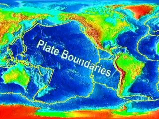
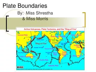
Plate Boundaries Divergent Convergent Transform
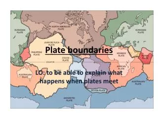
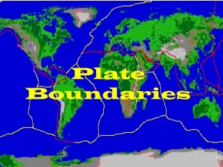
6 Locations, 2000-2005 X - #2 Aleutians X #4 Pacific Northwest X #1 Urals #5 Hawaii X #6 Mariana Islands X X #3 Easter Island
Site #1 - Ural Mountains • # of Quakes = 1 • Max Depth = 10 km • Max Mag = 3.5
Site #2 - Aleutian Islands • # of Quakes = 980 • Max Depth = 252 km • Max Mag = 6.5
Site #3 - Easter Island • # of Quakes = 182 • Max Depth = 11 km • Max Mag = 6.6
Site #4 - Pacific Northwest • # of Quakes = 900 • Max Depth = 66 km • Max Mag = 6.8
Site #5 - Hawaii • # of Quakes = 80 • Max Depth = 49 km • Max Mag = 5.4
Site #6 - Mariana Islands • # of Quakes = 1172 • Max Depth = 540 km • Max Mag = 7.3
Site N M D 1 3.5 10 980 6.5 252 182 6.6 11 900 6.8 66 80 5.4 49 6 1172 7.3 540 Comparisons, 2000-2005 #1 - Urals #2 - Aleutians #3 - Easter Island #4 - Pacific NW #5 - Hawaii #6 - Mariana Islands
Site #7 - New England • # of Quakes = 34 • Max Depth = 18 km • Max Mag = 5.2