Download
1 / 1
10 likes | 44 Views
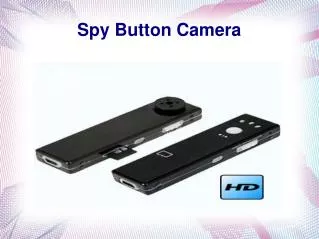
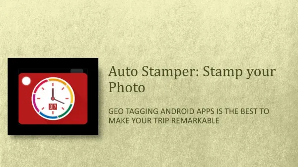
The top survey is an App that can help while surveying on the field by a finely crafted camera having all the requisites in support of surveyors. Civil engineers, Photographers, Archaeologists, researchers, etc can take maximum benefits of such an amazing tool during their site survey.<br><br>Download The App Now<br>http://bit.ly/3oehWXz

E N D
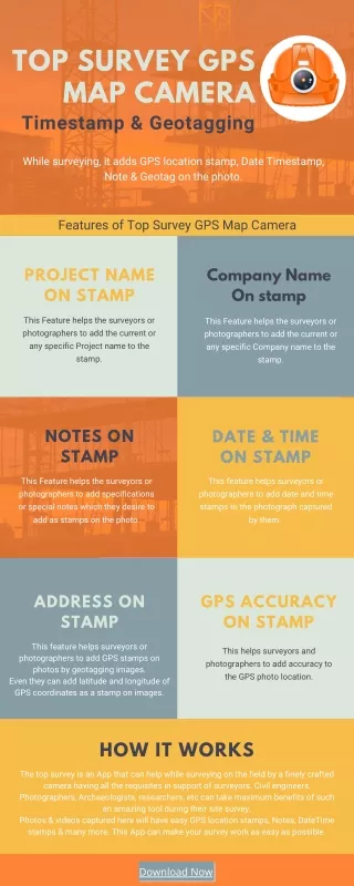
TOP SURVEY GPS MAP CAMERA Timestamp & Geotagging While surveying, it adds GPS location stamp, Date Timestamp, Note & Geotag on the photo. Features of Top Survey GPS Map Camera PROJECT NAME ON STAMP Company Name On stamp This Feature helps the surveyors or photographers to add the current or any specific Project name to the stamp. This Feature helps the surveyors or photographers to add the current or any specific Company name to the stamp. NOTES ON STAMP DATE & TIME ON STAMP This Feature helps the surveyors or photographers to add specifications or special notes which they desire to add as stamps on the photo. This feature helps surveyors or photographers to add date and time stamps to the photograph captured by them. ADDRESS ON STAMP GPS ACCURACY ON STAMP This feature helps surveyors or photographers to add GPS stamps on photos by geotagging images. Even they can add latitude and longitude of GPS coordinates as a stamp on images. This helps surveyors and photographers to add accuracy to the GPS photo location. HOW IT WORKS The top survey is an App that can help while surveying on the field by a finely crafted camera having all the requisites in support of surveyors. Civil engineers, Photographers, Archaeologists, researchers, etc can take maximum benefits of such an amazing tool during their site survey. Photos & videos captured here will have easy GPS location stamps, Notes, DateTime stamps & many more. This App can make your survey work as easy as possible. Download Now